Old Maps of Oblong, Illinois
Explore 24 old maps of Oblong, spanning from 1910 to today. These high-resolution historic maps reveal how streets, neighborhoods, landmarks, and natural features evolved over time — perfect for genealogy, metal detecting, research, and local history exploration.
What you can do with these maps:
- See how Oblong changed over time: Compare historical maps to modern-day views to trace roads, homesites, rail lines & more.
- View detailed metadata: Each map includes creators, publishers, year, scale, and archive source.
- Overlay maps with satellite & LiDAR: Visualize the past alongside modern tools to explore terrain & human change.
- Trusted historical sources: Maps sourced from the USGS, Library of Congress, and other archives.
- Access maps your way: View online, download high-res files, or order prints for personal or research use.
Start exploring old maps of Oblong to uncover forgotten places, hidden landmarks, and the deep history beneath your feet.
Oblong, IL maps
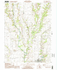
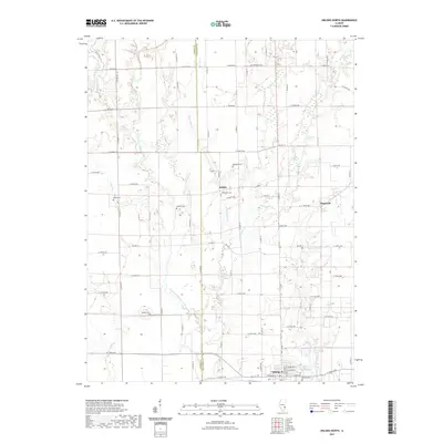
(24)- 1910 Map of Hardinville
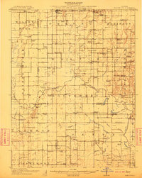 1910 Hardinville1910 Print · USGSSoutheastern Illinois at the start of the century reveals a landscape defined by the Embarrass River and early oil exploration. Genealogists can trace family roots through numerous local landmarks like Oil Center, Lucky Ford Ferry, and the Mann School.2 unique versions available
 - 1953 Map of Indianapolis, 1965 Print
 1953 Indianapolis1965 Print · USGSCentral Indiana and the Illinois borderlands are captured in the mid-sixties, showing the growth of Indianapolis and its industrial rail corridors. Genealogists and historians can trace the development of outlying towns like Zionsville or Beech Grove and find landmarks such as Atterbury AAF and Turkey Run State Park.4 unique versions available
 - 1956 Map of Indianapolis
 1956 Indianapolis1956 Print · USGSCentral Indiana in the mid-fifties is captured during a period of industrial growth and military presence. Genealogists and historians can trace the rail networks of the New York Central or locate regional landmarks like Fort Benjamin Harrison and Camp Atterbury.
 - 1956 Map of Annapolis, 1957 Print
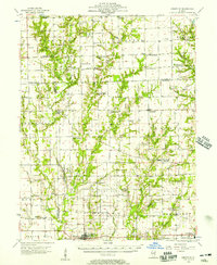 1956 Annapolis1957 Print · USGSSoutheast Illinois in the mid-1950s remains a landscape of tightly knit rural hamlets and creek-side farms. Genealogists can trace family footprints across dozens of country landmarks like Moonshine, Porterville (Eaton PO), and Backbone Cem.2 unique versions available
 - 1956 Map of Vincennes, 1967 Print
 1956 Vincennes1967 Print · USGSSouthern Indiana and the Illinois borderlands are captured here in the mid-fifties, showing the region's dense network of river towns and rail lines. Researchers can trace historic river crossings along the Wabash River or locate landmarks like Wyandotte Cave and Lincoln State Park.4 unique versions available
 - 1957 Map of Indianapolis
 1957 Indianapolis1957 Print · USGSCentral Indiana in the mid-fifties is captured here as a crossroads of major rail lines and nascent federal highways. Genealogists and historians can trace family-named ridges like Poplar Ridge or locate strategic sites like Camp Atterbury and Speedway.2 unique versions available
 - 1957 Map of Vincennes
 1957 Vincennes1957 Print · USGSSouthwest Indiana and the Illinois borderlands come alive in the late 1950s, a period of heavy rail traffic and expanding state forests. Genealogists and historians can trace the riverfronts and rail lines of Vincennes, New Harmony, and the vast Crane Naval Ammunition Depot.
 - 1958 Map of Vincennes
 1958 Vincennes1958 Print · USGSSouthern Indiana and the Illinois borderlands are captured during a mid-century period of heavy rail traffic and military activity. Researchers can trace the sprawling bounds of the Crane Naval Ammunition Depot or locate historic settlements like New Harmony and French Lick.2 unique versions available
 - 1962 Map of Indianapolis
 1962 Indianapolis1962 Print · USGSCentral Indiana and the Illinois borderlands are captured here in the early sixties, showing the region's dense rail networks and growing urban centers. Genealogists and historians can locate family-named landmarks and institutions like Crown Hill Cem, Indiana University, and the Indianapolis Motor Speedway.
 - 1968 Map of Oblong South, 1970 Print
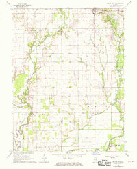 1968 Oblong South1970 Print · USGSJasper and Crawford County at the end of the sixties reveal a rural landscape defined by the winding North Fork Embarras River and an active oil industry. Genealogists can locate family landmarks such as Miller Cem, Seed Chapel, and the St Valentine Ch Cem.2 unique versions available
 - 1985 Map of Oblong North
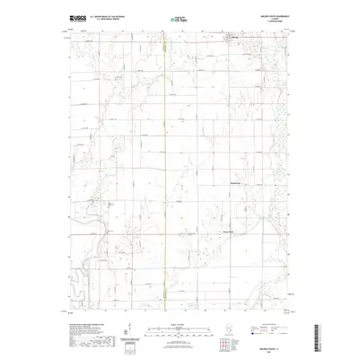
 1985 Oblong North1985 Print · USGSCrawford and Jasper Counties come into focus during the mid-eighties as the local oil industry and river valley farming define the terrain. Genealogists and historians can trace the rural landscape from Kibbie and Dogwood to the banks of the North Fork Embarras River.
 - 1986 Map of Terre Haute
 1986 Terre Haute1986 Print · USGSThe Wabash River valley and the coal-rich hills of West-Central Indiana and East-Central Illinois are shown here in the mid-eighties. Genealogists and local historians can trace family-named corners like Barrick Corner, find rural churches like New Hope Ch, and locate industrial landmarks such as the Thunderbird Mine.2 unique versions available
 - 1986 Map of Vincennes
 1986 Vincennes1986 Print · USGSThe Wabash River valley in the mid-1980s shows a landscape defined by deep-rooted river towns and heavy industry. Researchers can trace the legacy of regional rail lines like the Conrail system or locate landmarks such as Vincennes University and St Francisville Church.2 unique versions available
 - 1998 Map of Oblong North, 2002 Print
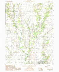
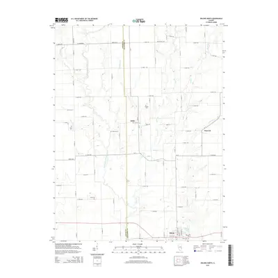
 1998 Oblong North2002 Print · USGSThe rural landscape of eastern Illinois at the turn of the millennium was defined by the North Fork Embarras River and its oil-rich fields. Genealogists and historians can trace the development of Oblong, find the small settlement of Kibbie, and locate rural landmarks like a hilltop Cem.
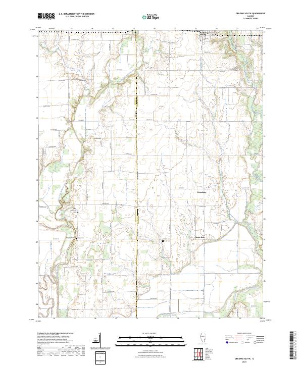
 - 2012 Map of Oblong South, 2012 Print
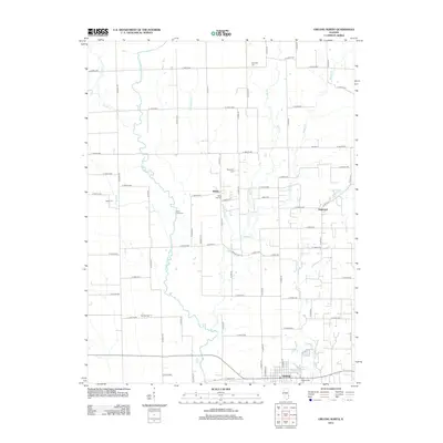
 2012 Oblong South2012 Print · USGSCovers Oblong, including Pierceburg, Green Brier, and other nearby areas
 - 2012 Map of Oblong North, 2012 Print
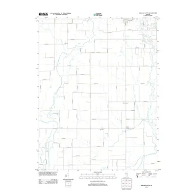
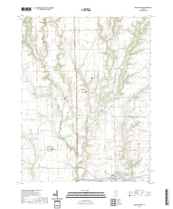
 2012 Oblong North2012 Print · USGSCovers Oblong, including Dogwood, Kibbie, and other nearby areas
 - 2015 Map of Oblong South, 2015 Print
 2015 Oblong South2015 Print · USGSCovers Oblong, including Pierceburg, Green Brier, and other nearby areas
 - 2015 Map of Oblong North, 2015 Print
 2015 Oblong North2015 Print · USGSCovers Oblong, including Dogwood, Kibbie, and other nearby areas
 - 2018 Map of Oblong South, 2018 Print
 2018 Oblong South2018 Print · USGSCovers Oblong, including Pierceburg, Green Brier, and other nearby areas
 - 2018 Map of Oblong North, 2018 Print
 2018 Oblong North2018 Print · USGSCovers Oblong, including Dogwood, Kibbie, and other nearby areas
 - 2021 Map of Oblong South, 2021 Print
 2021 Oblong South2021 Print · USGSCovers Oblong, including Pierceburg, Green Brier, and other nearby areas
 - 2021 Map of Oblong North, 2021 Print
 2021 Oblong North2021 Print · USGSCovers Oblong, including Dogwood, Kibbie, and other nearby areas
 - 2024 Map of Oblong South, 2024 Print
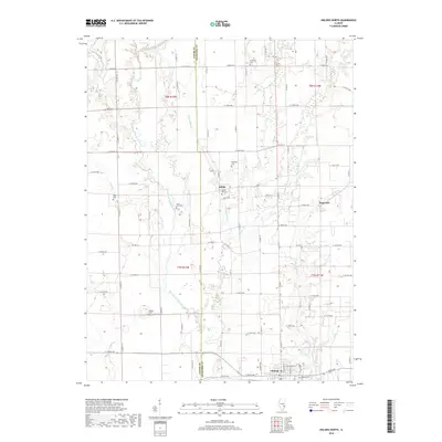
 2024 Oblong South2024 Print · USGSSouthern Crawford County is mapped here during the early twenty-first century as it remains a landscape of river confluences and rural crossroads. Genealogists can locate family landmarks like Yager Cem and Miller Cem or trace the early paths of Yeager Ford.
 - 2024 Map of Oblong North, 2024 Print
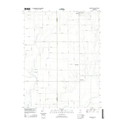
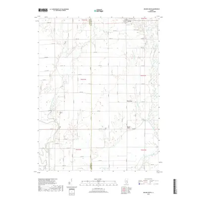
 2024 Oblong North2024 Print · USGSCrawford County and Jasper County are captured here at the county line in the modern era, showing a landscape defined by river bends and rural crossroads. Local historians can trace old community sites like Kibbie and Dogwood or locate ancestral burial sites at Mound Cem and White Oak Cem.
End of results
Showing maps 1-24 of 24
Top cities near Oblong
- Robinson historical maps
- Melrose historical maps
- Hunt City historical maps
- Orange historical maps
- Willow Hill historical maps
- Stoy historical maps
See more
Frequently asked questions
- What are the different types of historical maps available for Oblong?
- What is the oldest map of Oblong?
- Where can I purchase historical maps of Oblong for my home or office?
- Where can I download high-res historical maps of Oblong?
- Are there historical topographic maps available for Oblong?
- Is there historical aerial imagery available for Oblong?
- Where are historical maps of Oblong sourced from?