2020s Maps of Waynesville, Illinois
Explore 4 historic maps of Waynesville from the 2020s. These maps offer a rare glimpse into what life looked like during the 2020s — showing old roads, neighborhoods, homes, and landmarks that have changed or disappeared over time.
Whether you're researching your family's past, planning a metal detecting trip, or studying how Waynesville's landscape evolved across the 2020s, these high-resolution maps are a powerful tool for exploring the history of this region.
- Focus on a specific era: All maps on this page are from the 2020s, giving you a focused view of this time period.
- See what’s changed: Compare century-old streets, trails, and buildings to today's modern landscape using overlays and satellite layers.
- Research with precision: Use these maps for genealogy, historical research, land use analysis, or educational projects.
- View, download, or print: Maps are fully viewable online in high resolution, and can be downloaded or printed for your own records.
Start exploring Waynesville's history through authentic maps from the 2020s. This is your window into the past.
Waynesville, IL maps
(4)- 2021 Map of Waynesville West, 2021 Print
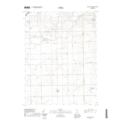 2021 Waynesville West2021 Print · USGSCovers Waynesville, including Tabor, Midland City, and other nearby areas
 - 2021 Map of Waynesville East, 2021 Print
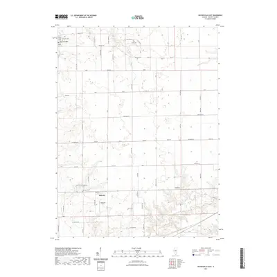 2021 Waynesville East2021 Print · USGSCovers Waynesville, including Jenkins, Hallsville, and other nearby areas
 - 2024 Map of Waynesville East, 2024 Print
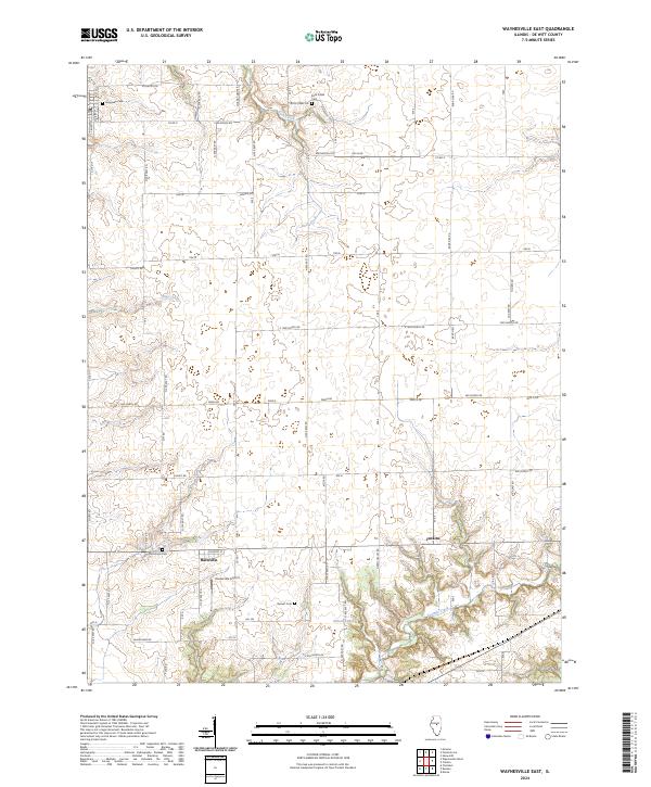 2024 Waynesville East2024 Print · USGSThe rural stretches of De Witt County come into focus during the 2020s, revealing a landscape of family farms and quiet crossroads. Researchers can trace ancestral roots at Rock Creek Cem or McClimans Cem, and locate the small-town hub of Hallsville.
 - 2024 Map of Waynesville West, 2024 Print
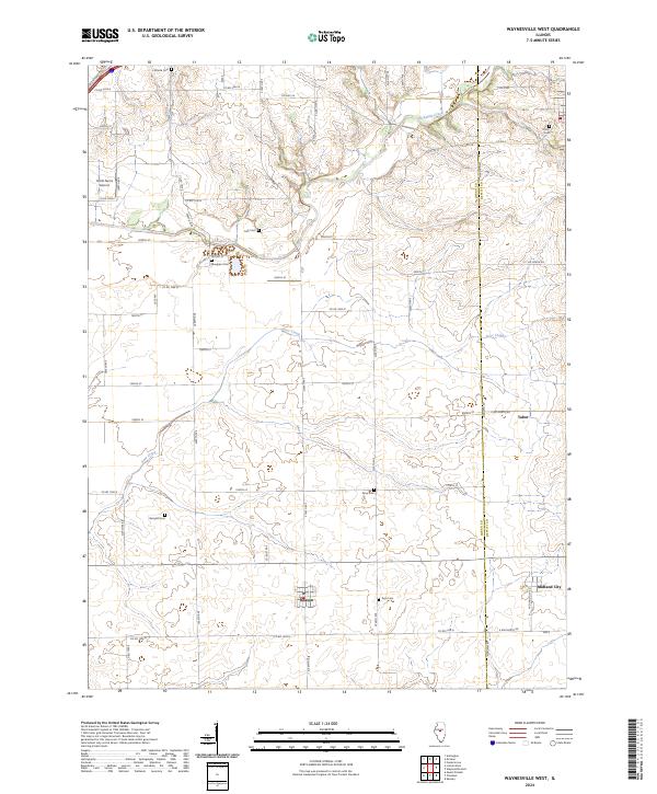 2024 Waynesville West2024 Print · USGSLogan and De Witt counties are captured here in the early twenty-first century, showcasing a landscape of grain farms and quiet rural hamlets. Local historians can trace family roots through numerous sites like Berryhill Cem, Union Cem, and the settlement of Beason.
End of results
Showing maps 1-4 of 4
Top cities near Waynesville
- Bloomington historical maps
- Lincoln historical maps
- Clinton historical maps
- Randolph historical maps
- Heyworth historical maps
- Atlanta historical maps
See more
Frequently asked questions
- What are the different types of historical maps available for Waynesville?
- What is the oldest map of Waynesville?
- Where can I purchase historical maps of Waynesville for my home or office?
- Where can I download high-res historical maps of Waynesville?
- Are there historical topographic maps available for Waynesville?
- Is there historical aerial imagery available for Waynesville?
- Where are historical maps of Waynesville sourced from?