Old Maps of Waynesville, Illinois for Genealogy
Trace your family roots with 19 historic maps of Waynesville. These high-res maps reveal old neighborhoods, homesites, landmarks, and streets — helping you uncover where your ancestors lived and how the area evolved over time.
- Explore historic neighborhoods: Identify where your relatives may have lived in the 1800s or 1900s.
- Compare maps over time: Trace the changes in streets, buildings, and landmarks for multi-generational research.
- Perfect for genealogy & ancestry research: Used by family historians and researchers to map out lineage and migration.
These maps are an incredible resource for exploring your personal connection to Waynesville's past.
Waynesville, IL maps
(19)- 1957 Map of Kenney, 1958 Print
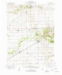 1957 Kenney1958 Print · USGSDe Witt and Logan Counties are captured in the late 1950s as the rail-and-river network shaped the prairie landscape. Genealogists can trace rural family plots at McClimans Cem or locate former landmarks like Mt Zion Sch.2 unique versions available
 - 1958 Map of Peoria, 1969 Print
 1958 Peoria1969 Print · USGSCentral Illinois thrived as a hub of education and transport during the late sixties, as the new interstate system began to reshape the prairie. Genealogists and historians can trace local landmarks like Springdale Cem, Bradley University, and the sprawling grounds of Chanute AFB.4 unique versions available
 - 1961 Map of Peoria
 1961 Peoria1961 Print · USGSCentral Illinois thrived at the intersection of river trade and rail power during the late fifties. Genealogists and local historians can trace the rail networks of the Illinois Central and Wabash, alongside landmarks like Chanute AFB and Weldon Springs State Park.
 - 1963 Map of Peoria
 1963 Peoria1963 Print · USGSCentral Illinois thrived as a rail and highway crossroads during the early sixties, centered on the bustling Illinois River valley. Genealogists and historians can trace the mid-century layout of Peoria, locate the grounds of Chanute Air Force Base, and follow historic lines like the Toledo Peoria and Western Railway.
 - 1980 Map of Waynesville East
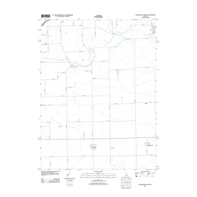
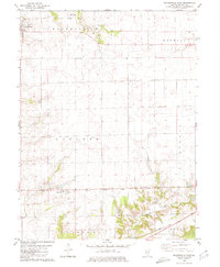 1980 Waynesville East1980 Print · USGSDe Witt County in the early 1980s reveals a structured agricultural landscape shaped by railroads and prairie creeks. Genealogists can locate several rural burial sites like Evergreen Cem and Barnett Cem, or trace the Illinois Central Gulf rail line through Hallsville.
 - 1980 Map of Waynesville West, 1981 Print
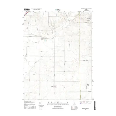
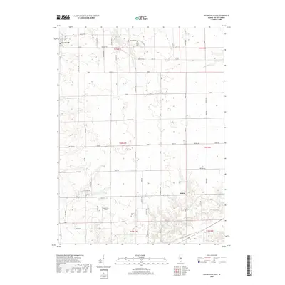
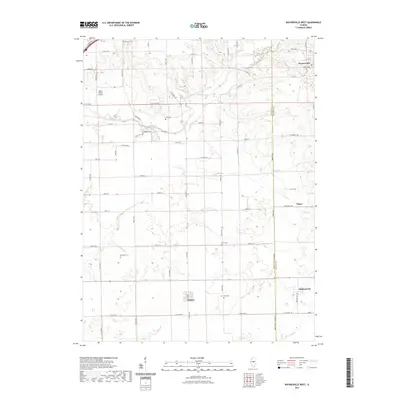
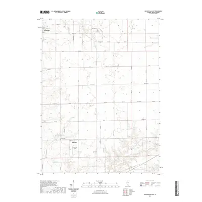
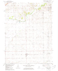 1980 Waynesville West1981 Print · USGSLogan and De Witt counties appear at a transition point in the 1980s, defined by the rural rail lines and township grids of Central Illinois. Researchers can trace family history through numerous landmarks like Berryhill Cem, the rail siding at Tabor, and the streets of Beason.
 - 1985 Map of Lincoln
 1985 Lincoln1985 Print · USGSMid-century Illinois comes to life in this survey of Logan and Mason counties as the interstate era reshapes the prairie. Genealogists and historians can trace rail-town development from San Jose to Kenney or locate landmarks like Rose Hill Cem and Funks Grove.
 - 1989 Map of Lincoln
 1989 Lincoln1989 Print · USGSCentral Illinois in the late eighties remains a landscape of productive prairie and vital river arteries. Genealogists and local historians can trace rural family landmarks like Rose Hill Cem, identify early aviation at Logan County Airport, or follow the Illinois Central Gulf Railroad through towns like Atlanta and Lincoln.
 - 1990 Map of Peoria
 1990 Peoria1990 Print · USGSCentral Illinois at the start of the nineties reveals a landscape of industrial river towns and sprawling university campuses. Researchers can trace the legacy of major institutions like Chanute Air Force Base and the University of Illinois alongside regional landmarks such as Sand Ridge State Forest.
 - 2012 Map of Waynesville East, 2012 Print
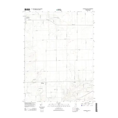
 2012 Waynesville East2012 Print · USGSCovers Waynesville, including Jenkins, Hallsville, and other nearby areas
 - 2012 Map of Waynesville West, 2012 Print
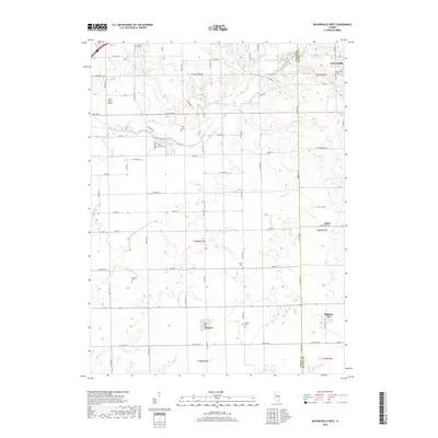
 2012 Waynesville West2012 Print · USGSCovers Waynesville, including Tabor, Midland City, and other nearby areas
 - 2015 Map of Waynesville East, 2015 Print
 2015 Waynesville East2015 Print · USGSCovers Waynesville, including Jenkins, Hallsville, and other nearby areas
 - 2015 Map of Waynesville West, 2015 Print
 2015 Waynesville West2015 Print · USGSCovers Waynesville, including Tabor, Midland City, and other nearby areas
 - 2018 Map of Waynesville West, 2018 Print
 2018 Waynesville West2018 Print · USGSCovers Waynesville, including Tabor, Midland City, and other nearby areas
 - 2018 Map of Waynesville East, 2018 Print
 2018 Waynesville East2018 Print · USGSCovers Waynesville, including Jenkins, Hallsville, and other nearby areas
 - 2021 Map of Waynesville West, 2021 Print
 2021 Waynesville West2021 Print · USGSCovers Waynesville, including Tabor, Midland City, and other nearby areas
 - 2021 Map of Waynesville East, 2021 Print
 2021 Waynesville East2021 Print · USGSCovers Waynesville, including Jenkins, Hallsville, and other nearby areas
 - 2024 Map of Waynesville East, 2024 Print
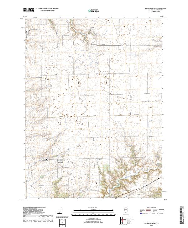 2024 Waynesville East2024 Print · USGSThe rural stretches of De Witt County come into focus during the 2020s, revealing a landscape of family farms and quiet crossroads. Researchers can trace ancestral roots at Rock Creek Cem or McClimans Cem, and locate the small-town hub of Hallsville.
 - 2024 Map of Waynesville West, 2024 Print
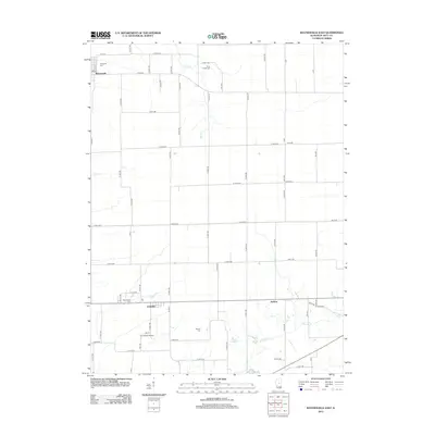
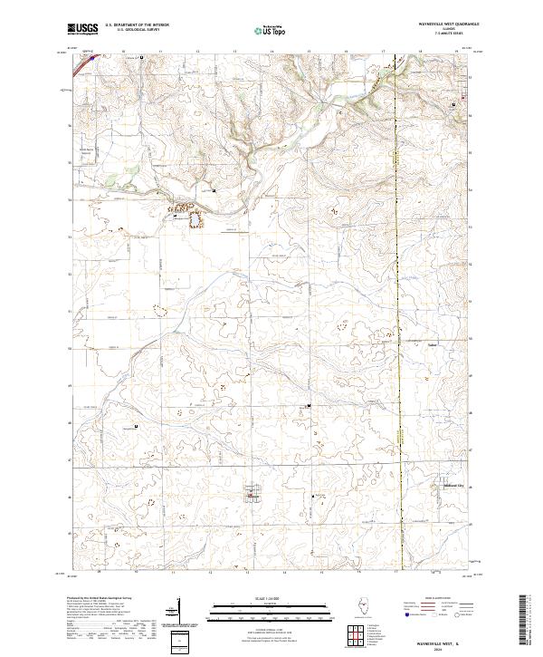 2024 Waynesville West2024 Print · USGSLogan and De Witt counties are captured here in the early twenty-first century, showcasing a landscape of grain farms and quiet rural hamlets. Local historians can trace family roots through numerous sites like Berryhill Cem, Union Cem, and the settlement of Beason.
End of results
Showing maps 1-19 of 19
Top cities near Waynesville
- Bloomington historical maps
- Lincoln historical maps
- Clinton historical maps
- Randolph historical maps
- Heyworth historical maps
- Atlanta historical maps
See more
Frequently asked questions
- What are the different types of historical maps available for Waynesville?
- What is the oldest map of Waynesville?
- Where can I purchase historical maps of Waynesville for my home or office?
- Where can I download high-res historical maps of Waynesville?
- Are there historical topographic maps available for Waynesville?
- Is there historical aerial imagery available for Waynesville?
- Where are historical maps of Waynesville sourced from?