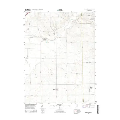
2015 Map of Waynesville West
USGS Topo · Published 2015About this map
The Logan Co De Witt Co boundary line bisects this central Illinois landscape, where the prairie is defined by the winding course of Kickapoo Creek and its tributaries, Clear Cr and Deer Cr. In the northern portion of the map, Waynesville serves as a primary settlement, while Beason and Midland City anchor the southern reaches. This 2015 survey reveals a dense concentration of local heritage sites, particularly in its many family and community burial grounds such as Union Cem, Jolly Cem, and Berryhill Cem. The landscape is predominantly agricultural, gridded by a network of rural roads like CR-28 and Bungtown Rd, yet it also includes specialized infrastructure like the Hoblit Farms Airport in the northwest. The map provides a clear look at the intersection of municipal boundaries and natural waterways that have shaped the development of these rural communities over generations.
Find a feature on this map
40 named features on this map. Tap any name to fly to it.
Don’t see what you’re looking for? This feature index may not catch every label — zoom into the map to look around manually.
Map Details
Editions of this 2015 Waynesville West Map
This is the sole edition of this map. No revisions or reprints were ever made.
Other maps of this area

1911 · Lincoln
USGS Topo · 1:62,500

1913 · Lincoln
USGS Topo · 1:62,500

1949 · Mc Lean
USGS Topo · 1:62,500

1951 · McLean
USGS Topo · 1:62,500

1951 · Minier
USGS Topo · 1:62,500

1957 · Kenney
USGS Topo · 1:62,500

1958 · Peoria
USGS Topo · 1:250,000

1961 · Peoria
USGS Topo · 1:250,000

1963 · Peoria
USGS Topo · 1:250,000

1980 · Armington
USGS Topo · 1:24,000