
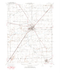
1949 Map of Mc Lean
USGS Topo · Published 1972About this map
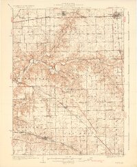
Sugar Creek winds through the heart of this central Illinois landscape, defining the topography between Bloomington and Atlanta. The map documents a mid-century agricultural region structured by its railroads and township boundaries. The Gulf Mobile and Ohio line serves as a primary transit corridor, linking the settlements of Shirley, McLean, and Stanford. This survey is particularly valuable for its detail on rural community infrastructure, capturing numerous one-room schoolhouses like California Sch and Covel Sch before consolidation. The spiritual and social centers of the day are well-represented, from Mount Pleasant Ch to the Funks Grove Ch. Local historians will also find a significant record of early burial sites, including the Brooks Grove Cem and Grassy Ridge Cem, often the only remaining markers of the area's earliest pioneers.
Find a feature on this map
50 named features on this map. Tap any name to fly to it.
Don’t see what you’re looking for? This feature index may not catch every label — zoom into the map to look around manually.
Map Details
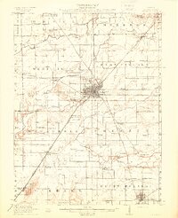
Editions of this 1949 Mc Lean Map
This is the sole edition of this map. No revisions or reprints were ever made.
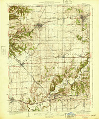
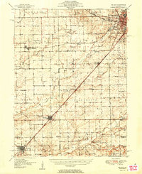
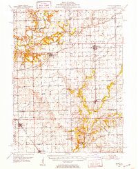
Other maps of this area
1911 · Lincoln
USGS Topo · 1:62,500
1913 · Lincoln
USGS Topo · 1:62,500

1926 · Normal
USGS Topo · 1:62,500
1927 · Danvers
USGS Topo · 1:62,500
1928 · Mackinaw
USGS Topo · 1:62,500
1930 · Danvers
USGS Topo · 1:62,500

1930 · Normal
USGS Topo · 1:62,500
1932 · Mackinaw
USGS Topo · 1:62,500
1951 · McLean
USGS Topo · 1:62,500
1951 · Minier
USGS Topo · 1:62,500