Loading...
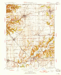
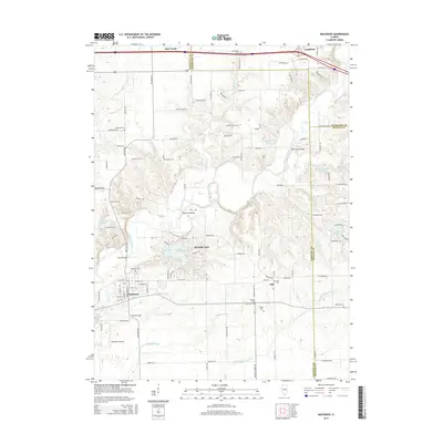
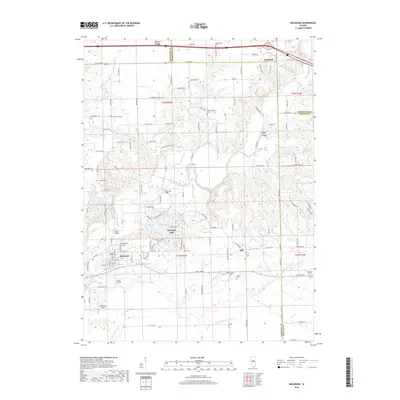
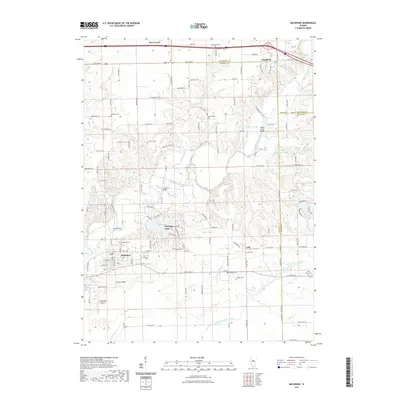
Loading map...1928 Map of Mackinaw
USGS Topo · Published 1954About this map
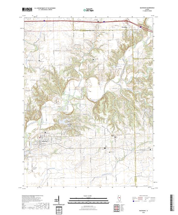
Washington and Eureka anchor this late-1920s landscape in central Illinois, where an intricate web of rail lines and early state highways defines the regional economy. The Mackinaw River winds through the southern townships, crossed by landmarks like the Tyrrell Bridge and Vaughter Bridge. This era shows a high density of rural schoolhouses, such as Science Hill Sch, Buckeye Sch, and Lone Star Sch, marking a community structured around small district educational hubs.
Find a feature on this map
82 named features on this map. Tap any name to fly to it.
Don’t see what you’re looking for? This feature index may not catch every label — zoom into the map to look around manually.
Map Details
Date Portrayed1928
Date Published1954
PublisherU.S. Geological Survey
Map TypeTopographic
Scale1:62,500
Physical Dimensions16.9 x 20.8 inches
Editions of this 1928 Mackinaw Map
This is the sole edition of this map. No revisions or reprints were ever made.
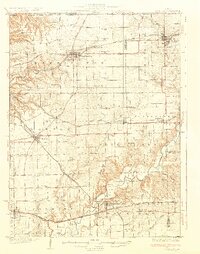
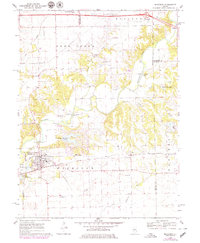
Historical Maps of East Peoria Through Time
8 maps found
Featured Locations
Source Details
SourceU.S. Geological Survey
CopyrightPublic Domain