
1893 Map of Metamora
USGS Topo · Published 1893About this map
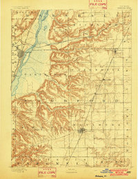
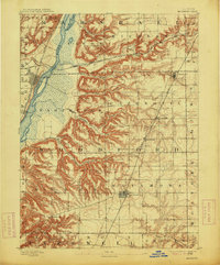
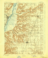
The Illinois River serves as the dominant geographic spine in this 1891 survey, flanked by a network of steep bluffs and drainage runs. To the west, the riverfront settlements of Chillicothe and Rome are established along the Chicago Rock Island and Pacific Railroad, while the inland plateau to the east is anchored by Metamora. This landscape transition from the river bottom to the high prairie is marked by intricate erosion patterns from waterways like Crow Creek, Richland Creek, and Black Partridge Creek.
Find a feature on this map
40 named features on this map. Tap any name to fly to it.
Don’t see what you’re looking for? This feature index may not catch every label — zoom into the map to look around manually.
Map Details
Editions of this 1893 Metamora Map
4 editions found
Other maps of this area

1893 · Lacon
USGS Topo · 1:62,500

1893 · Dunlap
USGS Topo · 1:62,500

1898 · Dunlap
USGS Topo · 1:62,500

1905 · Peoria
USGS Topo · 1:62,500

1927 · Peoria
USGS Topo · 1:62,500

1927 · Danvers
USGS Topo · 1:62,500

1928 · Mackinaw
USGS Topo · 1:62,500

1930 · Danvers
USGS Topo · 1:62,500

1932 · Mackinaw
USGS Topo · 1:62,500

1932 · Dunlap
USGS Topo · 1:62,500