
1893 Map of Lacon
USGS Topo · Published 1893About this map
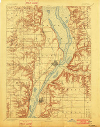
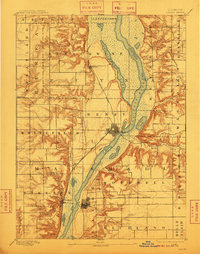
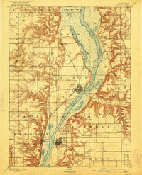
The Illinois River serves as the central artery for this late nineteenth-century landscape, carving a wide valley through the bluff-lined terrain of Marshall and Putnam Counties. The river's influence on regional development is evident in the cluster of settlements and infrastructure along its banks, including the town of Henry with its Lock and the river-crossing at Lacon. The map illustrates the complex hydrology of the valley, where numerous backwater features like Senachwine Lake, Goose Lake, and Bilsbach Lake dominate the floodplain between the steep western bluffs and the eastern uplands.
Find a feature on this map
35 named features on this map. Tap any name to fly to it.
Don’t see what you’re looking for? This feature index may not catch every label — zoom into the map to look around manually.
Map Details
Editions of this 1893 Lacon Map
4 editions found
Other maps of this area

1893 · Hennepin
USGS Topo · 1:62,500

1893 · Metamora
USGS Topo · 1:62,500

1893 · Dunlap
USGS Topo · 1:62,500

1893 · Lasalle
USGS Topo · 1:62,500

1898 · Dunlap
USGS Topo · 1:62,500

1909 · Hennepin
USGS Topo · 1:62,500

1911 · La Salle
USGS Topo · 1:62,500

1911 · Hennepin
USGS Topo · 1:62,500

1913 · La Salle
USGS Topo · 1:62,500

1921 · Buda
USGS Topo · 1:62,500