Loading...
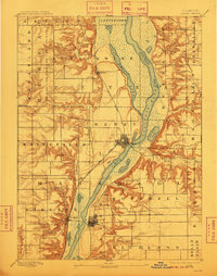
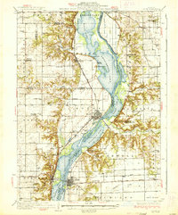
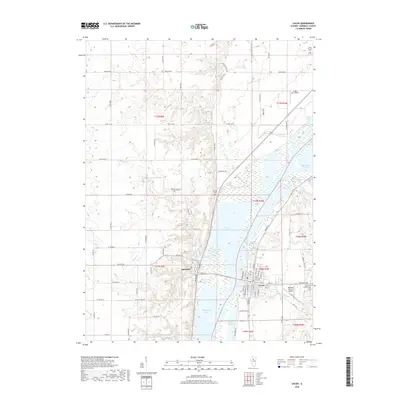
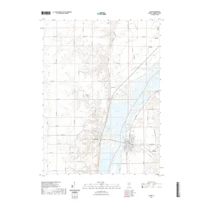
Loading map...1893 Map of Lacon
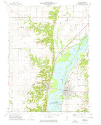
USGS Topo · Published 1910About this map
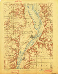
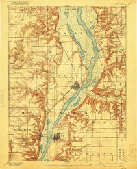
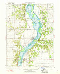
The Illinois River valley dominates this late 19th-century landscape, acting as a corridor for trade and travel through the heart of Marshall County. Large river-bottom lakes, including Senachwine Lake, Saw Mill Lake, and Wightman Lake, occupy the wide floodplain between high bluffs. The river itself shows critical navigational infrastructure with a recorded Lock at the town of Henry.
Find a feature on this map
42 named features on this map. Tap any name to fly to it.
Don’t see what you’re looking for? This feature index may not catch every label — zoom into the map to look around manually.
Map Details
Date Portrayed1893
Date Published1910
PublisherU.S. Geological Survey
Map TypeTopographic
Scale1:62,500
Physical Dimensions15.6 x 19.9 inches
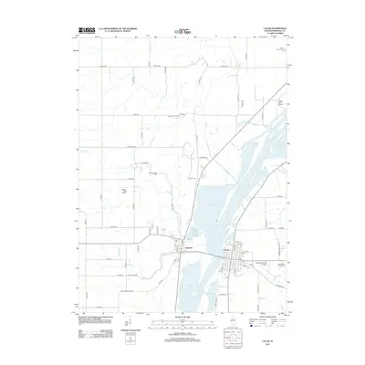
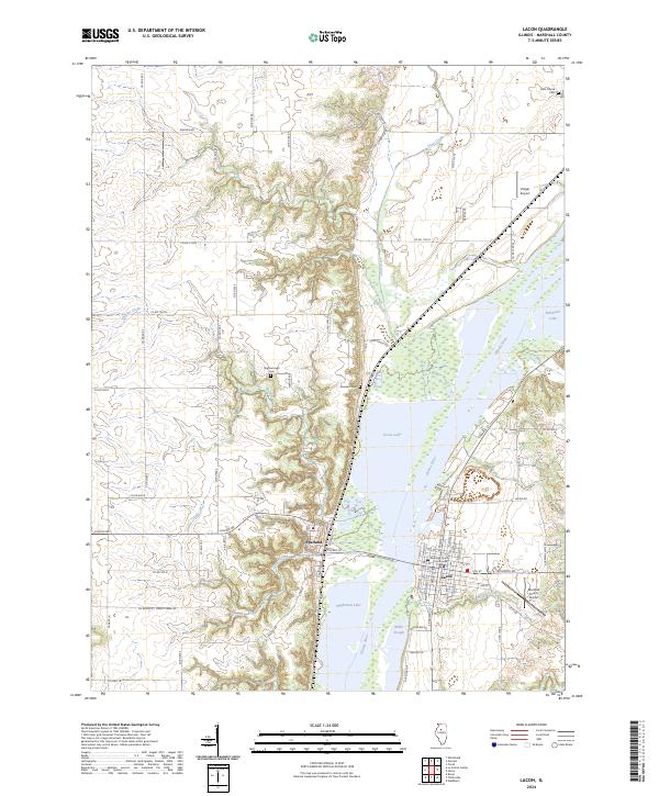
Editions of this 1893 Lacon Map
4 editions found

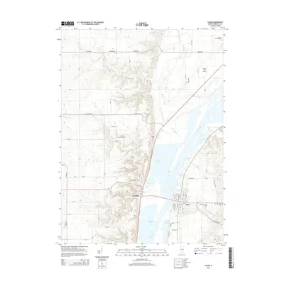
Historical Maps of Henry Through Time
9 maps found
Featured Locations
Source Details
SourceU.S. Geological Survey
CopyrightPublic Domain