
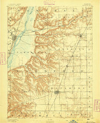
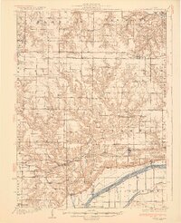
1893 Map of Dunlap
USGS Topo · Published 1893About this map
The Illinois River valley dominates the eastern edge of this late nineteenth-century landscape, providing a sharp contrast to the flat upland prairies of Marshall La Prairie and Hallock. The region is defined by its maturing rail infrastructure, with the Santa Fe and Topeka Railroad cutting across the northern sections through Edelstein and the Chicago Rock Island and Pacific Railroad hugging the riverbank near Mossville. In the central portion of the map, the village of Dunlap serves as a key local hub on the high ground between the river bluffs and the western creek systems. Numerous small waterways like Kickapoo Creek and Henry Creek have carved deep ravines into the bluffs, illustrating the complex drainage patterns that influenced early settlement and road placement. This survey captures a moment when agriculture and transportation were firmly established, yet before the large-scale industrialization and suburban expansion of the neighboring Peoria metro area.
Find a feature on this map
36 named features on this map. Tap any name to fly to it.
Don’t see what you’re looking for? This feature index may not catch every label — zoom into the map to look around manually.
Map Details
Editions of this 1893 Dunlap Map
This is the sole edition of this map. No revisions or reprints were ever made.
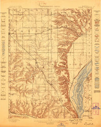
Other maps of this area

1893 · Lacon
USGS Topo · 1:62,500
1893 · Metamora
USGS Topo · 1:62,500
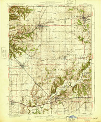
1898 · Dunlap
USGS Topo · 1:62,500
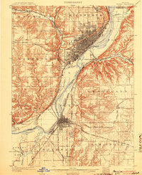
1905 · Peoria
USGS Topo · 1:62,500

1927 · Peoria
USGS Topo · 1:62,500
1928 · Mackinaw
USGS Topo · 1:62,500
1930 · Glasford
USGS Topo · 1:62,500
1932 · Mackinaw
USGS Topo · 1:62,500
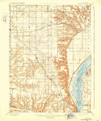
1932 · Dunlap
USGS Topo · 1:62,500
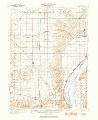
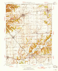
1933 · Dunlap
USGS Topo · 1:62,500