Loading...
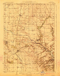
Loading map...1921 Map of Buda
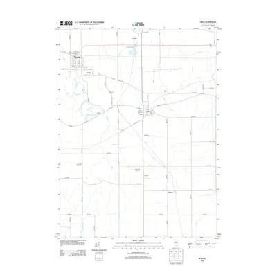
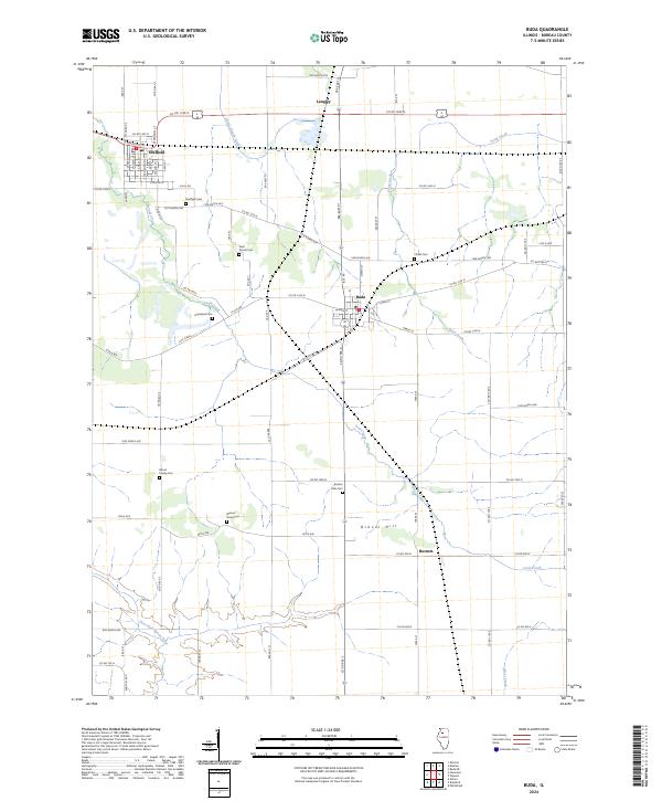
USGS Topo · Published 1959About this map
The Illinois and Mississippi Canal cuts a prominent horizontal path across this Bureau County landscape, illustrating a critical era of midwestern water transport. This survey captures a dense network of early 20th-century rural infrastructure, where small settlements like Sheffield and Wyanet serve as hubs for three major rail lines: the Chicago Rock Island and Pacific, the Chicago Burlington and Quincy, and the Chicago and Northwestern.
Find a feature on this map
77 named features on this map. Tap any name to fly to it.
Don’t see what you’re looking for? This feature index may not catch every label — zoom into the map to look around manually.
Map Details
Date Portrayed1921
Date Published1959
PublisherU.S. Geological Survey
Map TypeTopographic
Scale1:62,500
Physical Dimensions18 x 21.9 inches
Editions of this 1921 Buda Map
This is the sole edition of this map. No revisions or reprints were ever made.
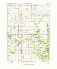
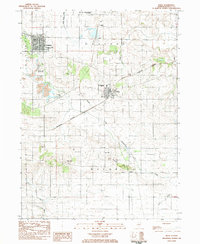
Historical Maps of Sheffield Through Time
8 maps found
Featured Locations
Source Details
SourceU.S. Geological Survey
CopyrightPublic Domain