Loading...
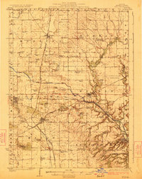
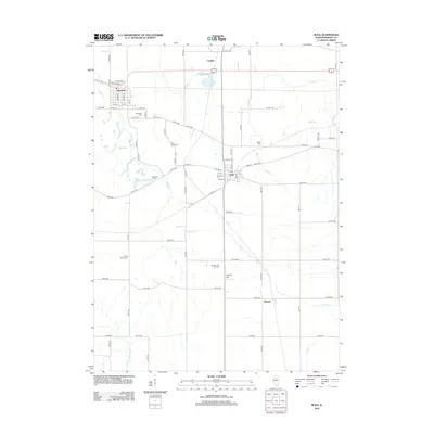
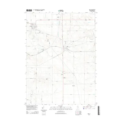
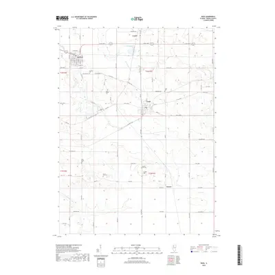
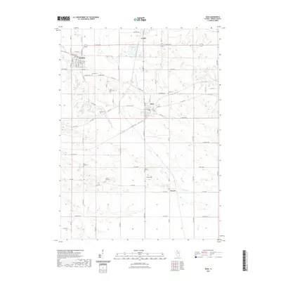
Loading map...1923 Map of Buda
USGS Topo · Published 1923About this map
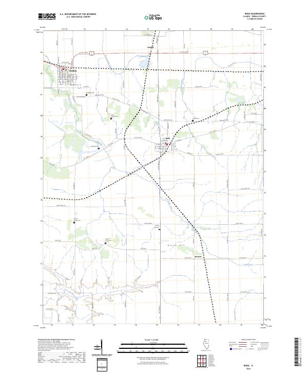
The Illinois and Mississippi Canal cuts a striking horizontal line across this Bureau County landscape, representing a critical era of inland navigation. To its south, the Chicago Burlington and Quincy RR and the Chicago Rock Island and Pacific Ry create a dense corridors of rail transport, fueling the growth of towns like Buda, Wyanet, and Sheffield. The map is particularly rich in early 20th-century rural infrastructure, documenting dozens of named schoolhouses such as the Sisson School and Maple Grove School.
Find a feature on this map
77 named features on this map. Tap any name to fly to it.
Don’t see what you’re looking for? This feature index may not catch every label — zoom into the map to look around manually.
Map Details
Date Portrayed1923
Date Published1923
PublisherU.S. Geological Survey
Map TypeTopographic
Scale1:62,500
Physical Dimensions15.7 x 19.6 inches
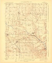
Editions of this 1923 Buda Map
2 editions found
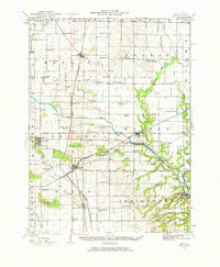
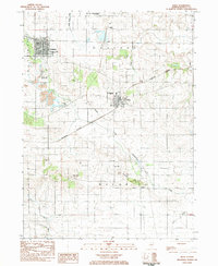
Historical Maps of Sheffield Through Time
8 maps found
Featured Locations
Source Details
SourceU.S. Geological Survey
CopyrightPublic Domain