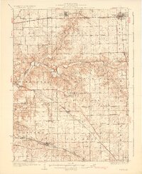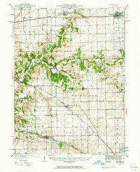
1927 Map of Danvers
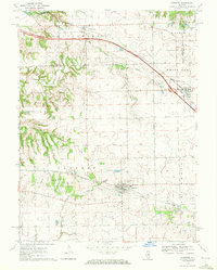
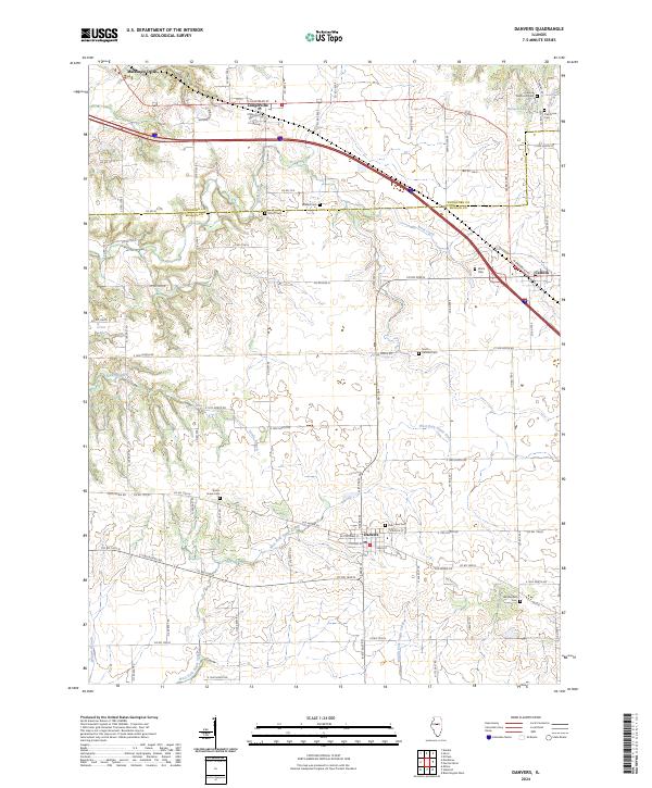
USGS Topo · Published 1961About this map
The Mackinaw River carves a winding path through the center of this Central Illinois landscape, defining the transition between the rolling woodlands of Mackinaw Dells and the flat prairie farmlands. This late 1920s survey captures a rural world organized by townships like Palestine, White Oak, and Dry Grove, where a dense network of country schools and churches served local farmstead families. Distinctive local markers include Centennial Chapel and East White Oak Ch, alongside dozens of named schoolhouses such as Strubhar Sch and Olive Branch Sch.
Find a feature on this map
76 named features on this map. Tap any name to fly to it.
Don’t see what you’re looking for? This feature index may not catch every label — zoom into the map to look around manually.
Map Details
Editions of this 1927 Danvers Map
This is the sole edition of this map. No revisions or reprints were ever made.
Historical Maps of Bloomington Through Time
8 maps found