Loading...
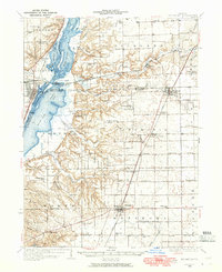
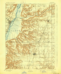
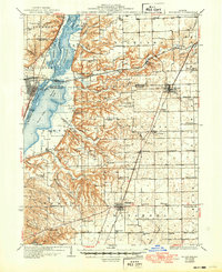
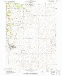
Loading map...1948 Map of Metamora
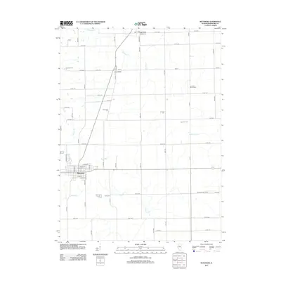
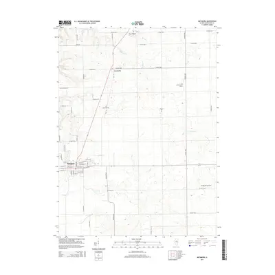
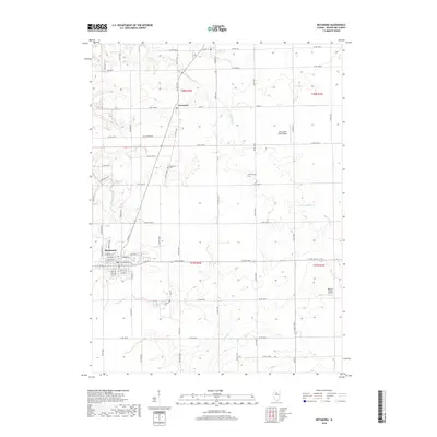
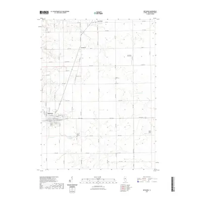
USGS Topo · Published 1965About this map
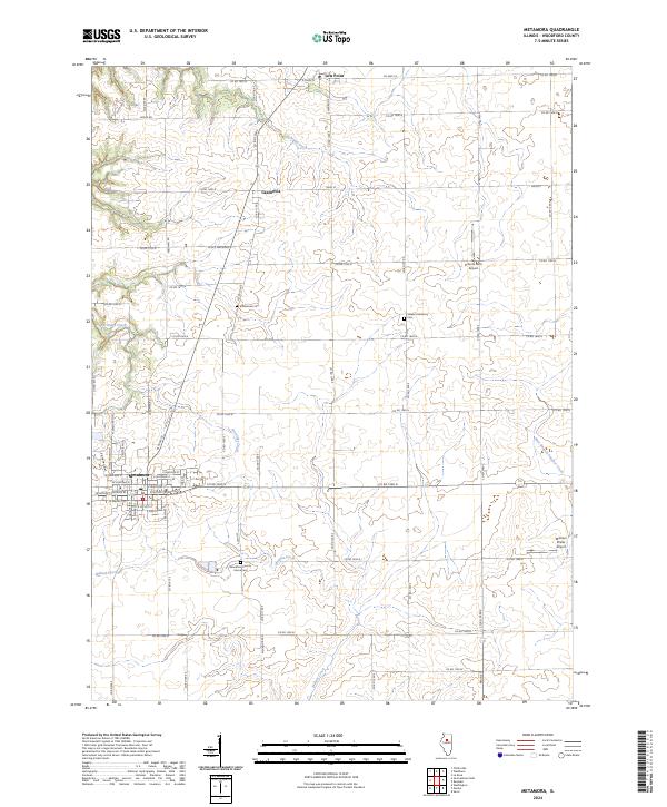
The Illinois River corridor dominates the western edge of this landscape, where complex backwaters like Babb Slough, Goose Lake, and Sawyer Slough create a braided aquatic network. In the late 1940s, the region was defined by a high density of rural schoolhouses, including Hickory Point Sch, Hazel Dell Sch, and Bricktown Sch, reflecting a distributed agrarian population before mid-century consolidation.
Find a feature on this map
91 named features on this map. Tap any name to fly to it.
Don’t see what you’re looking for? This feature index may not catch every label — zoom into the map to look around manually.
Map Details
Date Portrayed1948
Date Published1965
PublisherU.S. Geological Survey
Map TypeTopographic
Scale1:62,500
Physical Dimensions17 x 20.8 inches
Editions of this 1948 Metamora Map
This is the sole edition of this map. No revisions or reprints were ever made.
Historical Maps of Chillicothe Through Time
9 maps found
Featured Locations
Source Details
SourceU.S. Geological Survey
CopyrightPublic Domain