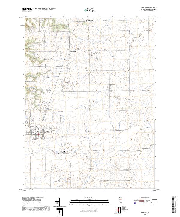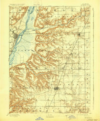
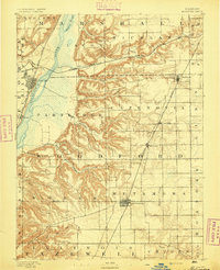
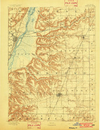
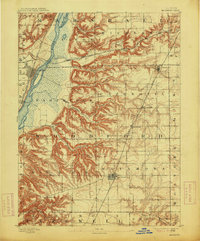
1893 Map of Metamora
USGS Topo · Published 1929About this map
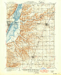
The Illinois River corridor dominates the western edge of this landscape, flanked by a complex network of bluffs and ravines. Surveyed in the late 19th century, the map reveals a transition from the river bottomlands at Rome and Chillicothe to the elevated prairie settlements of Metamora and Washburn. This era of Illinois history is defined by its rail connectivity, shown here through the major trunk lines of the Chicago Rock Island and Pacific Railroad and the Atchison Topeka and Santa Fe Railroad which cross the rugged drainage basins of Crow Creek and Richland Creek.
Find a feature on this map
40 named features on this map. Tap any name to fly to it.
Don’t see what you’re looking for? This feature index may not catch every label — zoom into the map to look around manually.
Map Details
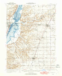
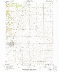
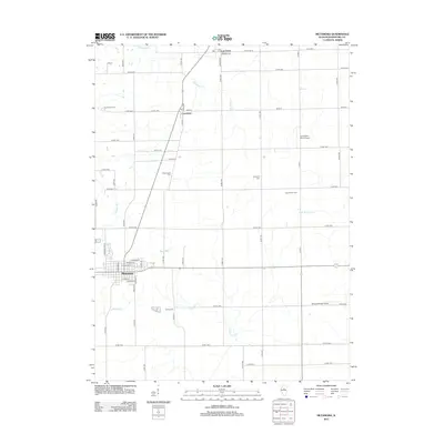
Editions of this 1893 Metamora Map
4 editions found
Historical Maps of Chillicothe Through Time
9 maps found