
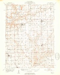
1951 Map of Minier
USGS Topo · Published 1952About this map
Mackinaw River and its winding tributary, the Little Mackinaw River, carve through the central Illinois prairie, defining the agricultural landscape of Tazewell and Logan Counties. In this mid-century period, the region is a patchwork of small farming townships such as Hopedale, Hittle, and Eminence. The rail network, including the Gulf Mobile and Ohio and the Illinois Central, remains the backbone of the local economy, connecting grain elevators in Minier and Armington to larger markets.
Find a feature on this map
68 named features on this map. Tap any name to fly to it.
Don’t see what you’re looking for? This feature index may not catch every label — zoom into the map to look around manually.
Map Details
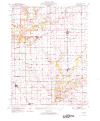
Editions of this 1951 Minier Map
3 editions found
Other maps of this area

1905 · Peoria
USGS Topo · 1:62,500

1911 · Lincoln
USGS Topo · 1:62,500

1913 · Lincoln
USGS Topo · 1:62,500

1927 · Peoria
USGS Topo · 1:62,500

1927 · Danvers
USGS Topo · 1:62,500

1928 · Mackinaw
USGS Topo · 1:62,500

1930 · Danvers
USGS Topo · 1:62,500

1932 · Mackinaw
USGS Topo · 1:62,500

1942 · Delavan
USGS Topo · 1:62,500

1948 · Mason City
USGS Topo · 1:62,500