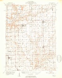
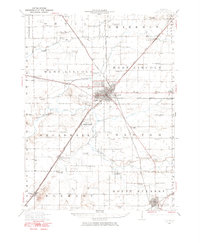
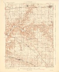
1951 Map of Minier
USGS Topo · Published 1952About this map
The Mackinaw River and Little Mackinaw River define the northern drainage of this Central Illinois landscape, where small agricultural settlements grew along competing rail lines. Minier and Armington stand as significant hubs connected by the Pennsylvania railroad, while the Gulf Mobile and Ohio serves Hopedale. This mid-century survey captures a transition in rural infrastructure, documenting the decline of the one-room schoolhouse with notations for the Fairview Sch (Abandoned) and Pleasant Hill Sch (Abandoned).
Find a feature on this map
76 named features on this map. Tap any name to fly to it.
Don’t see what you’re looking for? This feature index may not catch every label — zoom into the map to look around manually.
Map Details
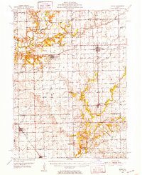
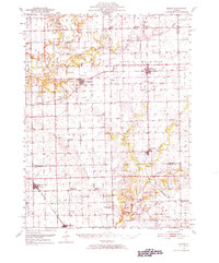
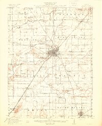
Editions of this 1951 Minier Map
3 editions found
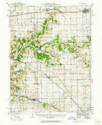
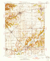
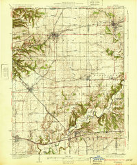
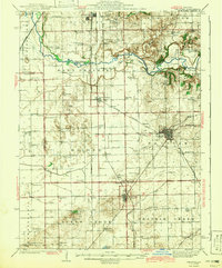
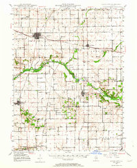
Other maps of this area
1905 · Peoria
USGS Topo · 1:62,500
1911 · Lincoln
USGS Topo · 1:62,500
1913 · Lincoln
USGS Topo · 1:62,500

1927 · Peoria
USGS Topo · 1:62,500
1927 · Danvers
USGS Topo · 1:62,500
1928 · Mackinaw
USGS Topo · 1:62,500
1930 · Danvers
USGS Topo · 1:62,500
1932 · Mackinaw
USGS Topo · 1:62,500
1942 · Delavan
USGS Topo · 1:62,500
1948 · Mason City
USGS Topo · 1:62,500