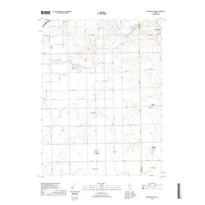
2018 Map of Waynesville West
USGS Topo · Published 2018About this map
Kickapoo Creek and its many tributaries, including Clear Cr and Deer Cr, carve through the agricultural landscape of the Logan and De Witt county line. This region is characterized by small, concentrated settlements and a dense grid of rural roads like Co Hwy 28 and Co Rd 1700 N. The village of Waynesville occupies the northeastern corner, while Beason and Midland City anchor the southern portion of the sheet. For genealogists and local historians, the map is particularly valuable for its precise locations of numerous rural burial grounds, including Union Cem, Jolly Cem, Blue Grass Cem, and Perry Cem. The presence of the Hoblit Farms Airport near the Logan County line highlights the integration of aviation into the central Illinois farming economy.
Find a feature on this map
43 named features on this map. Tap any name to fly to it.
Don’t see what you’re looking for? This feature index may not catch every label — zoom into the map to look around manually.
Map Details
Editions of this 2018 Waynesville West Map
This is the sole edition of this map. No revisions or reprints were ever made.
Other maps of this area

1911 · Lincoln
USGS Topo · 1:62,500

1913 · Lincoln
USGS Topo · 1:62,500

1949 · Mc Lean
USGS Topo · 1:62,500

1951 · McLean
USGS Topo · 1:62,500

1951 · Minier
USGS Topo · 1:62,500

1957 · Kenney
USGS Topo · 1:62,500

1958 · Peoria
USGS Topo · 1:250,000

1961 · Peoria
USGS Topo · 1:250,000

1963 · Peoria
USGS Topo · 1:250,000

1980 · Armington
USGS Topo · 1:24,000