Old Maps of Arcola, Illinois for Hiking & Exploration
Hike through history with 12 historic maps of Arcola. Explore old trails, ghost towns, and forgotten backroads — perfect for outdoor adventurers and local explorers.
- Rediscover forgotten places: Map out old mining camps, roads, and footpaths that no longer exist on modern maps.
- Layer with modern tools: Combine with LiDAR or satellite views to plan hikes through historical terrain.
- Made for exploration: Popular among hikers, overlanders, and local history lovers.
Use these maps to find adventure and explore the hidden past of Arcola.
Arcola, IL maps
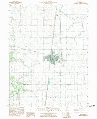
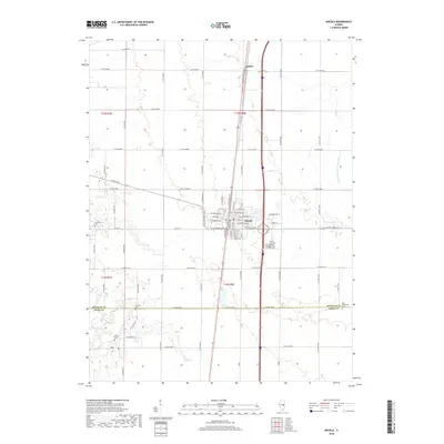
(12)- 1935 Map of Arcola
 1935 Arcola1935 Print · USGSCentral Illinois farming communities thrived along the Illinois Central and Pennsylvania rail lines in the 1930s. Genealogists can trace family roots through numerous rural landmarks like Yoder Cem, Quinn Chapel, and Pulltight Sch.3 unique versions available
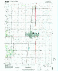
 - 1940 Map of Arcola
 1940 Arcola1940 Print · USGSThe Douglas and Coles County borderlands come alive in this pre-war portrait of central Illinois agricultural life. Researchers can trace dozens of rural school sites such as Pulltight Sch and Little Red Sch, alongside old rail corridors like the Illinois Central.
 - 1958 Map of Decatur, 1971 Print
 1958 Decatur1971 Print · USGSCentral Illinois in the mid-twentieth century shows a landscape defined by industrial rail hubs and the creation of large reservoirs. Researchers can trace historic corridors like the Penn Central or locate landmarks such as Lincoln Log Cabin State Park and Lake Springfield.3 unique versions available
 - 1961 Map of Decatur
 1961 Decatur1961 Print · USGSCentral Illinois in the late fifties was a bustling corridor of rail lines and prairie commerce centered on the state capital. Genealogists and historians can trace the intricate connections between Springfield, Decatur, and dozens of smaller settlements like Nokomis and Arcola.2 unique versions available
 - 1983 Map of Arcola
 1983 Arcola1983 Print · USGSCentral Illinois during the early eighties shows a landscape of rail-centered commerce and prairie agriculture. Genealogists can locate family burial sites at Township Cemetery and Gardner (Union Walker) Cem or trace the Illinois Central Gulf line through Arcola.
 - 1985 Map of Decatur
 1985 Decatur1985 Print · USGSCentral Illinois farming and rail hubs thrive in the mid-1980s as Decatur anchors a sprawling network of track and timber. Trace the paths of the Sangamon River and the Illinois Central Gulf RR through old towns like Cerro Gordo and Bement.2 unique versions available
 - 1998 Map of Arcola, 2002 Print
 1998 Arcola2002 Print · USGSThe Douglas and Coles county line area is shown in the late 1990s as a productive landscape of oil fields and prairie towns. Trace family roots at Township Cemetery or explore landmarks like the Cooks Mills Consolidated Oil Field and Galton.
 - 2012 Map of Arcola, 2012 Print
 2012 Arcola2012 Print · USGSCovers Arcola, including Galton, Coles County, and other nearby areas
 - 2015 Map of Arcola, 2015 Print
 2015 Arcola2015 Print · USGSCovers Arcola, including Galton, Coles County, and other nearby areas
 - 2018 Map of Arcola, 2018 Print
 2018 Arcola2018 Print · USGSCovers Arcola, including Galton, Coles County, and other nearby areas
 - 2021 Map of Arcola, 2021 Print
 2021 Arcola2021 Print · USGSCovers Arcola, including Galton, Coles County, and other nearby areas
 - 2024 Map of Arcola, 2024 Print
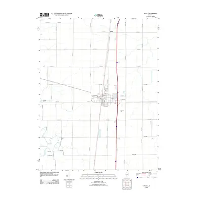
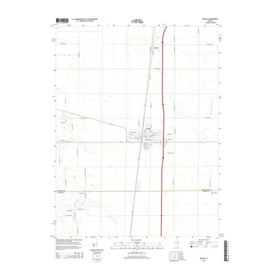
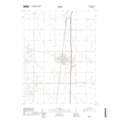
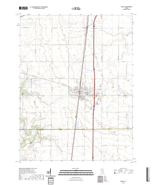 2024 Arcola2024 Print · USGSThe prairie landscape of Douglas and Coles counties is shown in the twenty-first century, centered on the historic hub of Arcola. Genealogists can trace family heritage at Arcola Township Cem, Brann Cem, or East Humboldt Cem while following the path of the Kaskaskia River.
End of results
Showing maps 1-12 of 12
Top cities near Arcola
- Charleston historical maps
- Mattoon historical maps
- Tuscola historical maps
- Villa Grove historical maps
- Camargo historical maps
- Pesotum historical maps
See more
Frequently asked questions
- What are the different types of historical maps available for Arcola?
- What is the oldest map of Arcola?
- Where can I purchase historical maps of Arcola for my home or office?
- Where can I download high-res historical maps of Arcola?
- Are there historical topographic maps available for Arcola?
- Is there historical aerial imagery available for Arcola?
- Where are historical maps of Arcola sourced from?