Old Maps of DuPage County, Illinois
Explore 72 old maps of DuPage County, spanning from 1890 to today. These high-resolution historic maps reveal how streets, neighborhoods, landmarks, and natural features evolved over time — perfect for genealogy, metal detecting, research, and local history exploration.
What you can do with these maps:
- See how DuPage County changed over time: Compare historical maps to modern-day views to trace roads, homesites, rail lines & more.
- View detailed metadata: Each map includes creators, publishers, year, scale, and archive source.
- Overlay maps with satellite & LiDAR: Visualize the past alongside modern tools to explore terrain & human change.
- Trusted historical sources: Maps sourced from the USGS, Library of Congress, and other archives.
- Access maps your way: View online, download high-res files, or order prints for personal or research use.
Start exploring old maps of DuPage County to uncover forgotten places, hidden landmarks, and the deep history beneath your feet.
DuPage County, IL maps
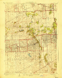
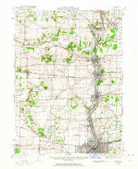
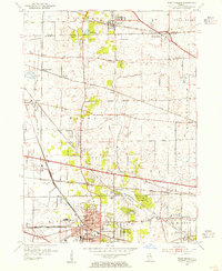
(72)- 1890 Map of Des Plaines
 1890 Des Plaines1890 Print · USGSCovers DuPage County, including Joliet, Oak Lawn, and other nearby areas
 - 1891 Map of Riverside
 1891 Riverside1891 Print · USGSCovers DuPage County, including Chicago, Cicero, and other nearby areas
 - 1892 Map of Joliet
 1892 Joliet1892 Print · USGSCovers DuPage County, including Aurora, Joliet, and other nearby areas6 unique versions available
 - 1893 Map of Riverside
 1893 Riverside1893 Print · USGSCovers DuPage County, including Chicago, Cicero, and other nearby areas
 - 1894 Map of Des Plaines
 1894 Des Plaines1894 Print · USGSCovers DuPage County, including Joliet, Oak Lawn, and other nearby areas
 - 1900 Map of Des Plaines
 1900 Des Plaines1900 Print · USGSCovers DuPage County, including Joliet, Oak Lawn, and other nearby areas
 - 1900 Map of Riverside
 1900 Riverside1900 Print · USGSCovers DuPage County, including Chicago, Cicero, and other nearby areas
 - 1901 Map of Des Plaines
 1901 Des Plaines1901 Print · USGSCovers DuPage County, including Joliet, Oak Lawn, and other nearby areas5 unique versions available
 - 1901 Map of Riverside
 1901 Riverside1901 Print · USGSCovers DuPage County, including Chicago, Cicero, and other nearby areas4 unique versions available
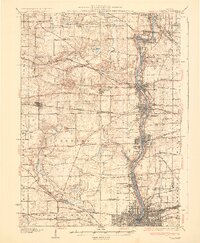
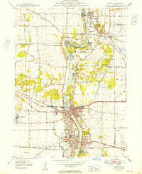
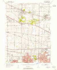
 - 1908 Map of Wheaton
 1908 Wheaton1908 Print · USGSCovers DuPage County, including Aurora, Naperville, and other nearby areas5 unique versions available
 - 1923 Map of Joliet
 1923 Joliet1923 Print · USGSCovers DuPage County, including Aurora, Joliet, and other nearby areas5 unique versions available
 - 1925 Map of Yorkville
 1925 Yorkville1925 Print · USGSCovers DuPage County, including Aurora, Joliet, and other nearby areas2 unique versions available
 - 1927 Map of Hinsdale
 1927 Hinsdale1927 Print · USGSCovers DuPage County, including Downers Grove, Lombard, and other nearby areas3 unique versions available
 - 1928 Map of Elmhurst
 1928 Elmhurst1928 Print · USGSCovers DuPage County, including Chicago, Des Plaines, and other nearby areas3 unique versions available
 - 1928 Map of Sag Bridge
 1928 Sag Bridge1928 Print · USGSCovers DuPage County, including Orland Park, Downers Grove, and other nearby areas4 unique versions available
 - 1932 Map of Geneva
 1932 Geneva1932 Print · USGSCovers DuPage County, including Aurora, Elgin, and other nearby areas3 unique versions available
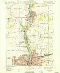
 - 1948 Map of Wheaton, 1956 Print
 1948 Wheaton1956 Print · USGSCovers DuPage County, including Aurora, Naperville, and other nearby areas
 - 1948 Map of Geneva, 1964 Print
 1948 Geneva1964 Print · USGSCovers DuPage County, including Aurora, Elgin, and other nearby areas
 - 1949 Map of Geneva
 1949 Geneva1949 Print · USGSCovers DuPage County, including Elgin, Wayne, and other nearby areas2 unique versions available
 - 1950 Map of Aurora North
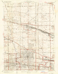
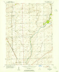
 1950 Aurora North1950 Print · USGSCovers DuPage County, including Aurora, Batavia, and other nearby areas
 - 1953 Map of Naperville, 1955 Print
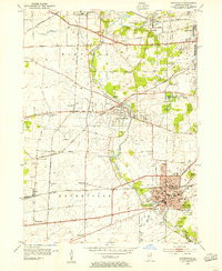 1953 Naperville1955 Print · USGSCovers DuPage County, including Aurora, Naperville, and other nearby areas
 - 1953 Map of West Chicago, 1955 Print
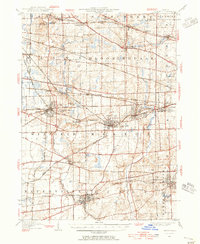
 1953 West Chicago1955 Print · USGSCovers DuPage County, including Elgin, Schaumburg, and other nearby areas
 - 1953 Map of Lombard, 1955 Print
 1953 Lombard1955 Print · USGSCovers DuPage County, including Schaumburg, Wheaton, and other nearby areas
 - 1953 Map of Normantown, 1955 Print
 1953 Normantown1955 Print · USGSCovers DuPage County, including Aurora, Naperville, and other nearby areas
 - 1953 Map of Sag Bridge, 1955 Print
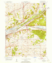 1953 Sag Bridge1955 Print · USGSCovers DuPage County, including Orland Park, Downers Grove, and other nearby areas2 unique versions available
Showing maps 1-25 of 72
Top cities of DuPage County
- Wheaton historical maps
- Downers Grove historical maps
- Elmhurst historical maps
- Lombard historical maps
- Carol Stream historical maps
- Glendale Heights historical maps
See more
Frequently asked questions
- What are the different types of historical maps available for DuPage County?
- What is the oldest map of DuPage County?
- Where can I purchase historical maps of DuPage County for my home or office?
- Where can I download high-res historical maps of DuPage County?
- Are there historical topographic maps available for DuPage County?
- Is there historical aerial imagery available for DuPage County?
- Where are historical maps of DuPage County sourced from?