Old Maps of Paris, Illinois for Hiking & Exploration
Hike through history with 19 historic maps of Paris. Explore old trails, ghost towns, and forgotten backroads — perfect for outdoor adventurers and local explorers.
- Rediscover forgotten places: Map out old mining camps, roads, and footpaths that no longer exist on modern maps.
- Layer with modern tools: Combine with LiDAR or satellite views to plan hikes through historical terrain.
- Made for exploration: Popular among hikers, overlanders, and local history lovers.
Use these maps to find adventure and explore the hidden past of Paris.
Paris, IL maps
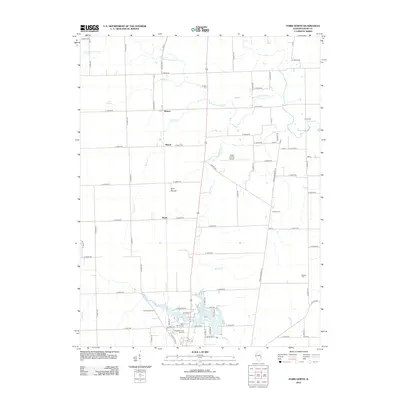
(19)- 1947 Map of Paris, 1967 Print
 1947 Paris1967 Print · USGSPost-war Edgar County and the Indiana borderlands are captured here at a time when rural schoolhouses and small family cemeteries still marked nearly every section. Genealogists can locate Edgar Cem, the Old Indian Boundary Line, and dozens of local schools like Plum Grove Sch.
 - 1949 Map of Paris
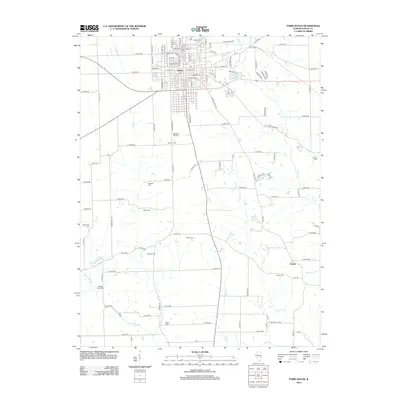
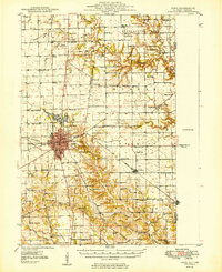 1949 Paris1949 Print · USGSEastern Illinois and the Indiana borderlands are captured here in the late 1940s, centered on the rail hub of Paris. Researchers can trace dozens of rural schoolhouses and family cemeteries, including St Aloysius Ch, Edgar Cem, and the path of the Old Indian Boundary Line.2 unique versions available
 - 1953 Map of Indianapolis, 1965 Print
 1953 Indianapolis1965 Print · USGSCentral Indiana and the Illinois borderlands are captured in the mid-sixties, showing the growth of Indianapolis and its industrial rail corridors. Genealogists and historians can trace the development of outlying towns like Zionsville or Beech Grove and find landmarks such as Atterbury AAF and Turkey Run State Park.4 unique versions available
 - 1956 Map of Indianapolis
 1956 Indianapolis1956 Print · USGSCentral Indiana in the mid-fifties is captured during a period of industrial growth and military presence. Genealogists and historians can trace the rail networks of the New York Central or locate regional landmarks like Fort Benjamin Harrison and Camp Atterbury.
 - 1957 Map of Indianapolis
 1957 Indianapolis1957 Print · USGSCentral Indiana in the mid-fifties is captured here as a crossroads of major rail lines and nascent federal highways. Genealogists and historians can trace family-named ridges like Poplar Ridge or locate strategic sites like Camp Atterbury and Speedway.2 unique versions available
 - 1962 Map of Indianapolis
 1962 Indianapolis1962 Print · USGSCentral Indiana and the Illinois borderlands are captured here in the early sixties, showing the region's dense rail networks and growing urban centers. Genealogists and historians can locate family-named landmarks and institutions like Crown Hill Cem, Indiana University, and the Indianapolis Motor Speedway.
 - 1966 Map of Paris South, 1967 Print
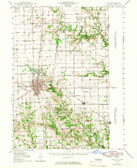
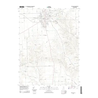
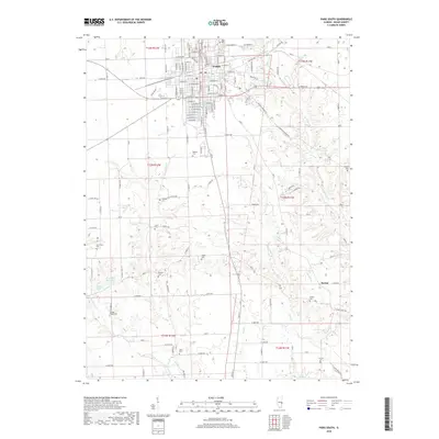
 1966 Paris South1967 Print · USGSThe city of Paris and its surrounding townships are shown in the mid-1960s at a time of robust rail activity and established rural neighborhoods. Genealogists can trace family landmarks like the Redmon Cem and Simms Cem, or locate historic school sites such as Mayo Sch and Crestwood Sch.2 unique versions available
 - 1966 Map of Paris North, 1967 Print
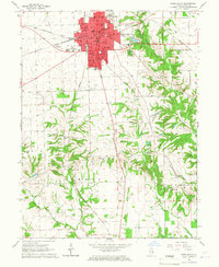
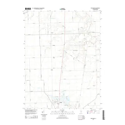
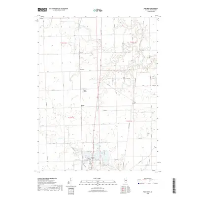
 1966 Paris North1967 Print · USGSNorthern Edgar County in the mid-sixties reveals a landscape of productive prairie farms and the steady expansion of Paris. Researchers can locate family sites near Sixteen Cem, the crossroads at Horace, or along the New York Central rail line.3 unique versions available
 - 1986 Map of Paris
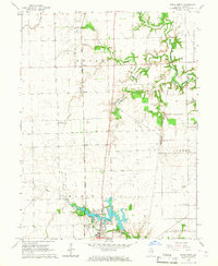
 1986 Paris1986 Print · USGSThe Illinois-Indiana borderlands thrive in the mid-1980s as a hub of river-side industry and fertile farmland. Genealogists and historians can trace rail-centered settlements like Chrisman and Metcalf, or locate family sites at the Quaker Cem and Bethel Ch.2 unique versions available
 - 2012 Map of Paris North, 2012 Print
 2012 Paris North2012 Print · USGSCovers Paris, including Horace, Edgar County, and other nearby areas
 - 2012 Map of Paris South, 2012 Print
 2012 Paris South2012 Print · USGSCovers Paris, including Nevins, Edgar County, and other nearby areas
 - 2015 Map of Paris South, 2015 Print
 2015 Paris South2015 Print · USGSCovers Paris, including Nevins, Edgar County, and other nearby areas
 - 2015 Map of Paris North, 2015 Print
 2015 Paris North2015 Print · USGSCovers Paris, including Horace, Edgar County, and other nearby areas
 - 2018 Map of Paris North, 2018 Print
 2018 Paris North2018 Print · USGSCovers Paris, including Horace, Edgar County, and other nearby areas
 - 2018 Map of Paris South, 2018 Print
 2018 Paris South2018 Print · USGSCovers Paris, including Nevins, Edgar County, and other nearby areas
 - 2021 Map of Paris North, 2021 Print
 2021 Paris North2021 Print · USGSCovers Paris, including Horace, Edgar County, and other nearby areas
 - 2021 Map of Paris South, 2021 Print
 2021 Paris South2021 Print · USGSCovers Paris, including Nevins, Edgar County, and other nearby areas
 - 2024 Map of Paris South, 2024 Print
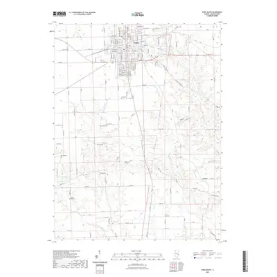
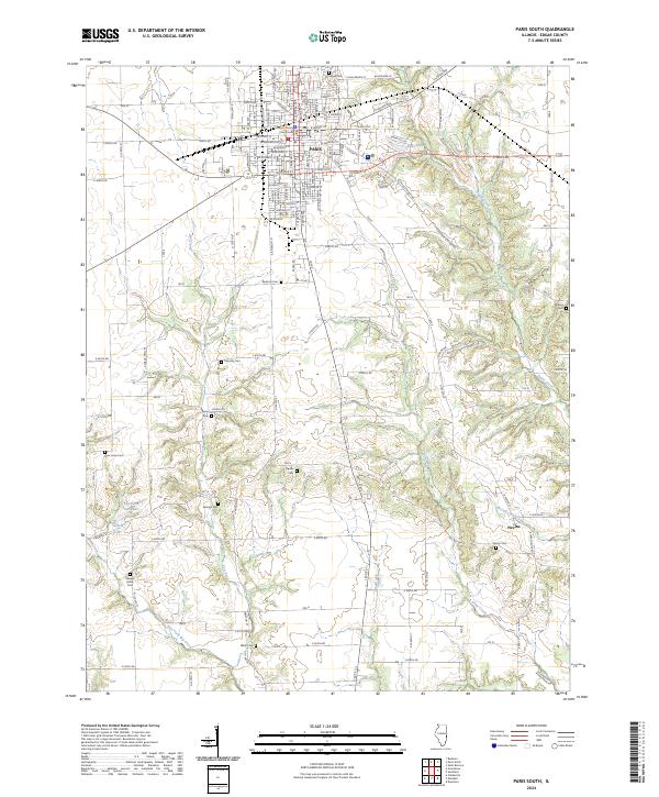 2024 Paris South2024 Print · USGSThe southern outskirts of Paris and the community of Nevins are captured here in the early twenty-first century. Genealogists can trace a remarkable number of rural burial sites, from Edgar Cem to Elledge Holley Cem and New Hope Cem.
 - 2024 Map of Paris North, 2024 Print
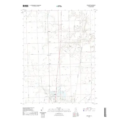
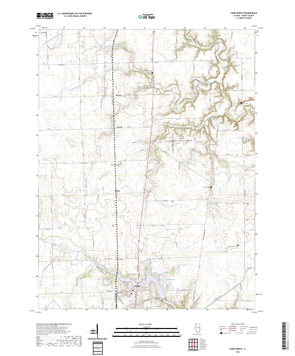 2024 Paris North2024 Print · USGSEdgar County farmland and the outskirts of Paris are captured in this recent survey. Genealogists can trace family names through rural landmarks like Franklin Cem, Scott Cem, and the small settlements of Horace and Wetzel.
End of results
Showing maps 1-19 of 19
Top cities near Paris
- Terre Haute historical maps
- Marshall historical maps
- West Terre Haute historical maps
- Chrisman historical maps
- Elbridge historical maps
- Dana historical maps
See more
Frequently asked questions
- What are the different types of historical maps available for Paris?
- What is the oldest map of Paris?
- Where can I purchase historical maps of Paris for my home or office?
- Where can I download high-res historical maps of Paris?
- Are there historical topographic maps available for Paris?
- Is there historical aerial imagery available for Paris?
- Where are historical maps of Paris sourced from?