Old Maps of Lewistown, Illinois for Academic Research
Study the evolution of Lewistown with 15 high-resolution historic maps. Whether you're teaching, researching, or modeling changes in land use, these maps provide essential visual documentation of urban, environmental, and geographic change.
- Analyze long-term change: Track patterns in development, transportation, and natural features.
- Ideal for environmental or urban studies: Support academic projects with primary historical map data.
- Use in the classroom or lab: Educators and researchers rely on these maps to bring historical context to life.
These maps are a powerful tool for teaching, research, and visualizing how Lewistown has changed over the decades.
Lewistown, IL maps
(15)- 1925 Map of Havana
 1925 Havana1925 Print · USGSThe Illinois River valley in the mid-1920s reveals a bustling corridor of coal mining and rail transport centered on Havana and Lewistown. Genealogists and historians can locate dozens of country schools and churches, such as Morning Star School and Mound Chapel.3 unique versions available
 - 1947 Map of Lewistown, 1976 Print
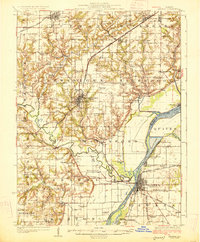
 1947 Lewistown1976 Print · USGSFulton County during the late 1940s reveals a landscape balancing agricultural traditions with emerging industrial mining and a busy rail network. Genealogists can locate family-named schools and churches like Painters Sch, Antioch Sch, and Providence Ch alongside the Spoon River.
 - 1948 Map of Lewistown
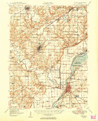
 1948 Lewistown1948 Print · USGSFulton County just after the war shows a fascinating contrast between expanding coal operations and traditional river-valley farming. Genealogists can trace family roots through numerous local landmarks like Oak Hill Cem, Sugar Grove School, and McNeil Ch.2 unique versions available
 - 1949 Map of Havana
 1949 Havana1949 Print · USGSThe Illinois River valley in the late 1940s reveals a landscape transitioning between coal mining and conservation. Genealogists and local historians can trace family roots through dozens of rural schools and landmarks like Dickson Mounds State Park, Mound Chapel, and the St Marys Cem near Lewistown.3 unique versions available
 - 1958 Map of Burlington, 1968 Print
 1958 Burlington1968 Print · USGSThe tri-state river country of Iowa, Illinois, and Missouri is captured here in the mid-fifties, dominated by the Mississippi River and major rail lines. Genealogists and historians can trace the development of river towns like Keokuk or locate the sprawling Iowa Army Ammunition Plant.4 unique versions available
 - 1961 Map of Burlington
 1961 Burlington1961 Print · USGSThe tri-state borderlands along the Mississippi River are captured here during the late fifties and early sixties, showing the vital river-and-rail economy of Iowa, Illinois, and Missouri. Genealogists and historians can trace the development of major hubs like Galesburg and Macomb alongside landmark sites such as the Iowa Ordnance Plant and the historic river town of Nauvoo.
 - 1963 Map of Burlington
 1963 Burlington1963 Print · USGSThe tri-state river country of the Mississippi and Illinois valleys comes alive in this mid-century survey. Genealogists and historians can trace the industrial and academic growth of the region, from the Iowa Ordnance Plant to campuses like Knox College and Western Illinois University.
 - 1985 Map of Macomb
 1985 Macomb1985 Print · USGSWest Central Illinois in the mid-eighties shows a robust network of river towns and rail corridors spanning from the Illinois River to the Lamoine. Genealogists and historians can trace the foundations of Macomb, find rural landmarks like Pennington Point, or locate early conservation sites like Argyle Lake State Park.
 - 1989 Map of Macomb
 1989 Macomb1989 Print · USGSWest Central Illinois in the late eighties shows a landscape of river-bottom conservation and rail-town commerce. Researchers can trace the extensive wetlands of the Illinois River or locate historic transport hubs in Macomb, Colchester, and Beardstown.
 - 1990 Map of Burlington
 1990 Burlington1990 Print · USGSThe tri-state confluence of Iowa, Illinois, and Missouri is mapped here at the end of the twentieth century. Genealogists and historians can trace the riverfront heritage of Burlington, Keokuk, and Fort Madison, or locate sites like the Battle of Athens State Historic Site.2 unique versions available
 - 2012 Map of Lewistown, 2012 Print
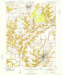
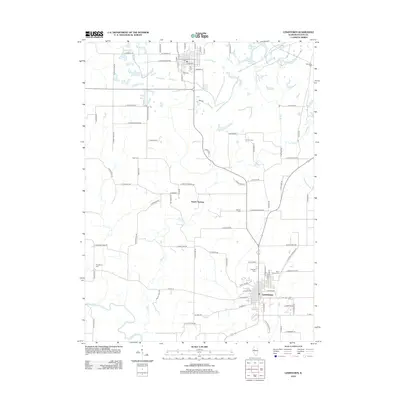 2012 Lewistown2012 Print · USGSCovers Lewistown, including Cuba, Depler Springs, and other nearby areas
 - 2015 Map of Lewistown, 2015 Print
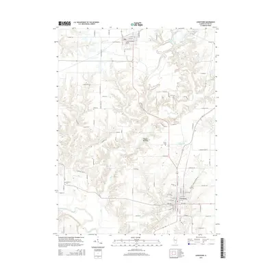 2015 Lewistown2015 Print · USGSCovers Lewistown, including Cuba, Depler Springs, and other nearby areas
 - 2018 Map of Lewistown, 2018 Print
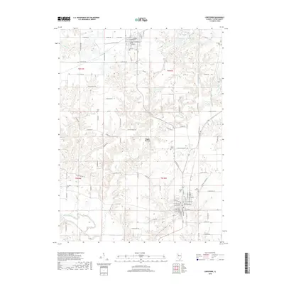 2018 Lewistown2018 Print · USGSCovers Lewistown, including Cuba, Depler Springs, and other nearby areas
 - 2021 Map of Lewistown, 2021 Print
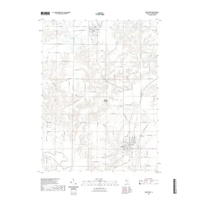 2021 Lewistown2021 Print · USGSCovers Lewistown, including Cuba, Depler Springs, and other nearby areas
 - 2024 Map of Lewistown, 2024 Print
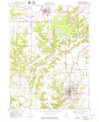
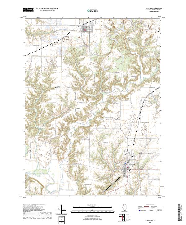 2024 Lewistown2024 Print · USGSFulton County's agricultural heartland is documented here in the early twenty-first century, spanning the corridor between Cuba and Lewistown. Family historians can locate numerous rural burial sites like Oak Hill Cem and Connor Cem or trace the winding course of the Spoon River.
End of results
Showing maps 1-15 of 15
Top cities near Lewistown
- Canton historical maps
- Havana historical maps
- Cuba historical maps
- Astoria historical maps
- Ipava historical maps
- Dunfermline historical maps
See more
Frequently asked questions
- What are the different types of historical maps available for Lewistown?
- What is the oldest map of Lewistown?
- Where can I purchase historical maps of Lewistown for my home or office?
- Where can I download high-res historical maps of Lewistown?
- Are there historical topographic maps available for Lewistown?
- Is there historical aerial imagery available for Lewistown?
- Where are historical maps of Lewistown sourced from?