Old Maps of Rock Creek, Illinois for Genealogy
Trace your family roots with 17 historic maps of Rock Creek. These high-res maps reveal old neighborhoods, homesites, landmarks, and streets — helping you uncover where your ancestors lived and how the area evolved over time.
- Explore historic neighborhoods: Identify where your relatives may have lived in the 1800s or 1900s.
- Compare maps over time: Trace the changes in streets, buildings, and landmarks for multi-generational research.
- Perfect for genealogy & ancestry research: Used by family historians and researchers to map out lineage and migration.
These maps are an incredible resource for exploring your personal connection to Rock Creek's past.
Rock Creek, IL maps
(17)- 1916 Map of Shawneetown
 1916 Shawneetown1916 Print · USGSThe Illinois-Kentucky borderlands thrived as a river-and-rail corridor during the early twentieth century. Genealogists and historians can trace the foundations of local life through dozens of rural schools and industrial sites like Saline Mines, Caseyville, and Westwood Cemetery.5 unique versions available
 - 1949 Map of Paducah
 1949 Paducah1949 Print · USGSThe confluence of the Ohio, Mississippi, Tennessee, and Cumberland rivers at the close of the 1940s reveals a region bound by water and rail. Researchers can trace historic river landings, timberlands in the Shawnee National Forest, and the coal-mining infrastructure around West Frankfort and Herrin.2 unique versions available
 - 1950 Map of Paducah
 1950 Paducah1950 Print · USGSThe confluence of the great midwestern rivers defines this mid-century landscape at the intersection of Illinois, Kentucky, and Missouri. Genealogists and historians can trace the rail-and-river economy through the hubs of Paducah, Cairo, and Metropolis or locate family roots near the Wildcat Hills.
 - 1954 Map of Paducah
 1954 Paducah1954 Print · USGSSouthern Illinois and Western Kentucky intersect at the great river confluences during this mid-century era of rail and river industry. Genealogists and historians can trace family roots and commerce through river towns like Cairo, Metropolis, and Golconda, or along the tracks of the Illinois Central Railroad.2 unique versions available
 - 1959 Map of Shawneetown, 1960 Print
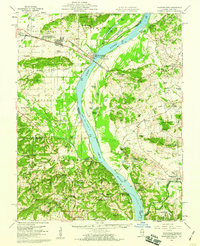 1959 Shawneetown1960 Print · USGSSouthern Illinois and western Kentucky meet along the Ohio River in the late 1950s, a period defined by river commerce and coal mining. Researchers can trace the dual centers of Old Shawneetown and New Shawneetown or locate family sites like Zion Ch and Saline Mines.2 unique versions available
 - 1959 Map of Saline Mines, 1960 Print
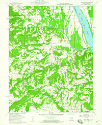 1959 Saline Mines1960 Print · USGSSouthern Illinois during the late fifties reveals a landscape shaped by river commerce and intensive mineral extraction. Researchers can trace dozens of family-named cemeteries and rural sites like the Hole Mine, Saline Landing, and Shewmaker Sch.3 unique versions available
 - 1961 Map of Paducah
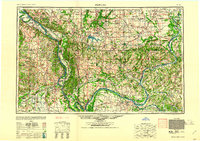 1961 Paducah1961 Print · USGSThe Lower Ohio Valley at mid-century is a landscape defined by its great rivers and newly formed reservoirs. Researchers can trace the riverfronts of Paducah and Metropolis, or locate smaller settlements like Old Shawneetown and Cave in Rock along the banks.2 unique versions available
 - 1964 Map of Paducah
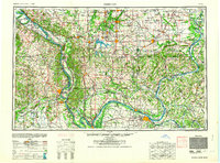 1964 Paducah1964 Print · USGSThe river-and-rail corridor of Southern Illinois and Western Kentucky is captured here during the height of the mid-century industrial era. Genealogists and researchers can trace local landmarks across several counties, from the rail yards of Paducah to the waters of Crab Orchard Lake and Kentucky Reservoir.2 unique versions available
 - 1984 Map of West Frankfort, 1985 Print
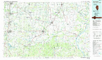 1984 West Frankfort1985 Print · USGSSouthern Illinois at the peak of late-century coal and oil production reveals a complex landscape of industry and conservation. Genealogists and historians can trace rail-served mining hubs like Orient No. 3 Mine and the historic riverfront at Old Shawneetown.
 - 1987 Map of West Frankfort
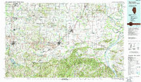 1987 West Frankfort1987 Print · USGSSouthern Illinois in the late eighties shows a landscape defined by the coal and river economies. Researchers can trace the extensive Strip Mine works and historic settlements like Shawneetown and Carriers Mills along the Illinois Central Railroad.
 - 1987 Map of Paducah, 1988 Print
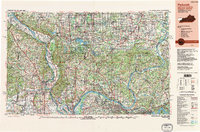 1987 Paducah1988 Print · USGSThe Lower Ohio Valley and the Illinois Ozarks come alive in this late twentieth-century regional survey. Genealogists and local historians can trace river-town roots and state park landmarks from Metropolis to Cape Girardeau and Trail of Tears State Park.
 - 1996 Map of Saline Mines, 1998 Print
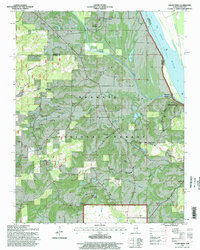 1996 Saline Mines1998 Print · USGSThe Illinois-Kentucky borderlands along the Ohio River reveal a landscape shaped by mid-century resource extraction and forestry. Genealogists and historians can trace family plots at Earnshaw Cem or investigate industrial sites like the Mahoning Mines and Saline Landing.
 - 2011 Map of Saline Mines, 2011 Print
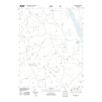 2011 Saline Mines2011 Print · USGSThe Illinois-Kentucky riverfront comes into sharp focus during the early twenty-first century, centered on the confluence of the Saline River and the Ohio River. Researchers can trace the region's industrial and family history through numerous sites like the Mahoning Mines, Saline Landing, and Smyrna Cemetery.
 - 2015 Map of Saline Mines, 2015 Print
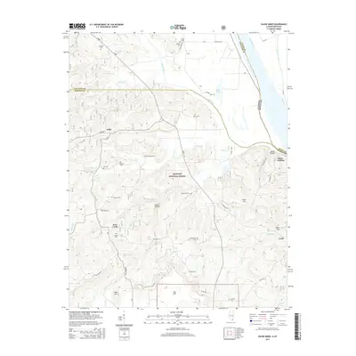 2015 Saline Mines2015 Print · USGSThe riverfront and forest interiors of Hardin County are documented here in the mid-2010s, centered on the historic Saline Mines. Genealogists can locate over a dozen family burial sites, including Smyrna Cem and Rutherford Cem, near the banks of the Saline River.
 - 2018 Map of Saline Mines, 2018 Print
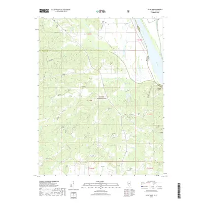 2018 Saline Mines2018 Print · USGSThe Illinois-Kentucky river border comes into focus in this recent survey of the Hardin and Gallatin county line. Genealogists and local historians can locate numerous rural burial sites like Smyrna Cem and Fellows Cem near the riverfront at Saline Landing.
 - 2021 Map of Saline Mines, 2021 Print
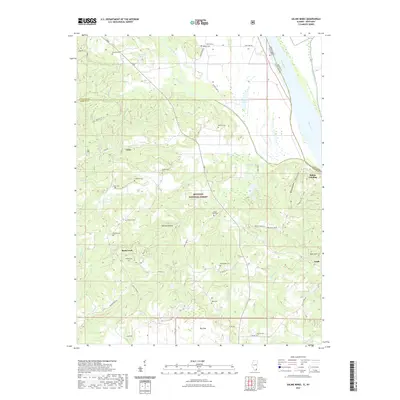 2021 Saline Mines2021 Print · USGSThe Illinois-Kentucky borderlands along the Ohio River are shown here as they appeared in 2021, featuring the dense canopy of the Shawnee National Forest. Genealogists and historians can trace family burial sites like Mount Zion Cem and Angleton Cem near the old river outpost of Saline Landing.
 - 2024 Map of Saline Mines, 2024 Print
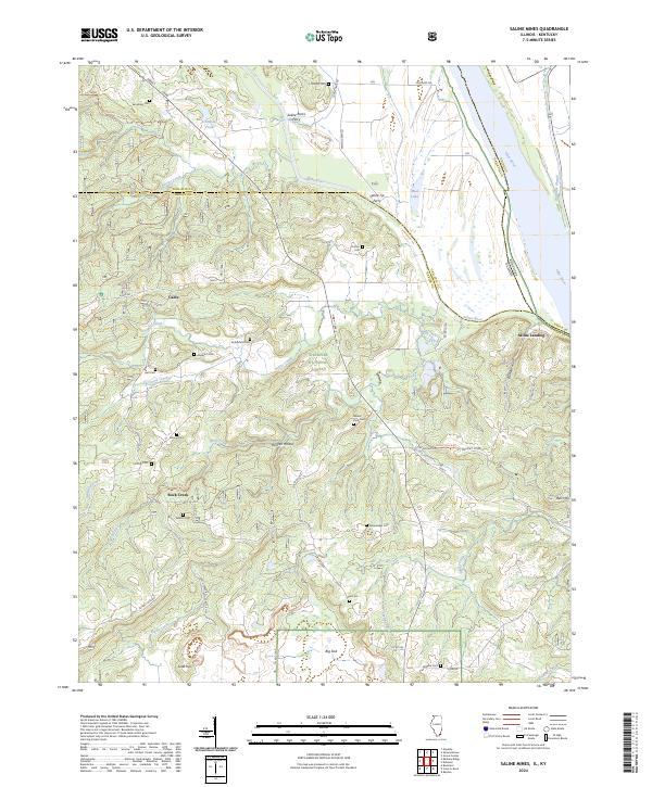 2024 Saline Mines2024 Print · USGSHardin and Gallatin counties meet the Ohio River in this modern survey of the Illinois and Kentucky borderlands. Genealogists can locate family burial sites like Smyrna Cem and Angleton Cem or trace old river crossings at Saline Rocks Ferry.
End of results
Showing maps 1-17 of 17
Top cities near Rock Creek
- Marion historical maps
- Rosiclare historical maps
- Shawneetown historical maps
- Equality historical maps
- Elizabethtown historical maps
- Cave-in-Rock historical maps
See more
Frequently asked questions
- What are the different types of historical maps available for Rock Creek?
- What is the oldest map of Rock Creek?
- Where can I purchase historical maps of Rock Creek for my home or office?
- Where can I download high-res historical maps of Rock Creek?
- Are there historical topographic maps available for Rock Creek?
- Is there historical aerial imagery available for Rock Creek?
- Where are historical maps of Rock Creek sourced from?