Old Maps of Atkinson, Illinois
Explore 24 old maps of Atkinson, spanning from 1929 to today. These high-resolution historic maps reveal how streets, neighborhoods, landmarks, and natural features evolved over time — perfect for genealogy, metal detecting, research, and local history exploration.
What you can do with these maps:
- See how Atkinson changed over time: Compare historical maps to modern-day views to trace roads, homesites, rail lines & more.
- View detailed metadata: Each map includes creators, publishers, year, scale, and archive source.
- Overlay maps with satellite & LiDAR: Visualize the past alongside modern tools to explore terrain & human change.
- Trusted historical sources: Maps sourced from the USGS, Library of Congress, and other archives.
- Access maps your way: View online, download high-res files, or order prints for personal or research use.
Start exploring old maps of Atkinson to uncover forgotten places, hidden landmarks, and the deep history beneath your feet.
Atkinson, IL maps
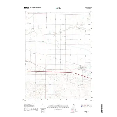
(24)- 1929 Map of Annawan, 1966 Print
 1929 Annawan1966 Print · USGSHenry and Bureau County life in the late 1920s was shaped by the engineering of the Illinois and Mississippi Canal and busy rail corridors. Researchers can trace dozens of rural schoolhouses and family sites like Brandenburg Corners, Kedron, and Francis Park.2 unique versions available
 - 1932 Map of Annawan
 1932 Annawan1932 Print · USGSHenry and Bureau counties are captured here in the early thirties, showing a landscape shaped by the Illinois and Mississippi Canal. Genealogists can locate dozens of rural landmarks, from Brandenburg Corners to schools like Kuster Sch and Fairview Ch.
 - 1934 Map of Geneseo
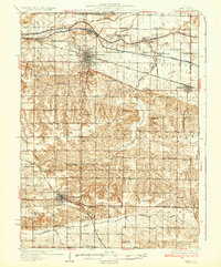 1934 Geneseo1934 Print · USGSHenry County thrived in the early 1930s as a vital corridor of rail and canal commerce. Researchers can trace the legacy of local education and faith through landmarks like Munson Center Sch, Grace Ch, and the many locks along the Mississippi Canal.2 unique versions available
 - 1953 Map of Atkinson, 1957 Print
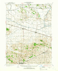
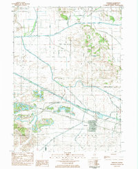
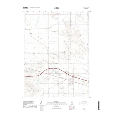
 1953 Atkinson1957 Print · USGSCentral Henry County is captured here in the early fifties as a landscape of rural schools and rail-side villages. Researchers can trace family history through Mizpah Cemetery or locate old schoolhouses like Bass School and Mount Hope School.2 unique versions available
 - 1958 Map of Davenport, 1968 Print
 1958 Davenport1968 Print · USGSEastern Iowa and western Illinois thrive along the river during the late fifties, defined by the industrial Quad Cities and a robust rail network. Genealogists can trace family roots through settlements like Oasis and Stanwood or along the Cedar River.2 unique versions available
 - 1958 Map of Aurora, 1969 Print
 1958 Aurora1969 Print · USGSNorthern Illinois in the late fifties shows a landscape of powerful river industry and expanding transport corridors. Genealogists and historians can trace the development of Aurora and Joliet or locate sites like the Elwood Ordnance Plant and Starved Rock.3 unique versions available
 - 1961 Map of Aurora
 1961 Aurora1961 Print · USGSNorthern Illinois at the height of the post-war era reveals a landscape of massive industrial works and thriving river towns. Genealogists and historians can trace the paths of the Lincoln Highway or locate long-standing landmarks like the Green River Ordnance Plant and Starved Rock State Park.
 - 1961 Map of Davenport
 1961 Davenport1961 Print · USGSThe Quad Cities and the eastern Iowa riverlands are captured here in the early sixties, showing the region's transition into a modern industrial and transit hub. Genealogists and historians can trace the paths of major railroads and find river landmarks like Rock Island Arsenal, Huron Island, and the Coralville Reservoir.
 - 1962 Map of Davenport
 1962 Davenport1962 Print · USGSThe Quad Cities and the Mississippi River corridor are shown at their industrial peak just before the interstate era fully transformed the region. Researchers can trace the sprawling rail networks of the Chicago Rock Island and Pacific and find landmarks like the Rock Island Arsenal and Wild Cat Den State Park.
 - 1983 Map of Annawan, 1984 Print
 1983 Annawan1984 Print · USGSThe village of Annawan and the surrounding Henry County farmlands are shown in the early 1980s as the railroad and canal corridor still dominated the landscape. Genealogists and historians can trace family burial sites at Sacred Heart Cem or locate the historic Lock No 23 along the Hennepin Canal State Parkway.
 - 1984 Map of Aledo, 1985 Print
 1984 Aledo1985 Print · USGSThe Mississippi River borderlands and Illinois heartland are captured here in the mid-eighties as industry and agriculture overlap. Trace the Hennepin Canal, the historic Swedish colony at Bishop Hill, and the rail corridors of the Burlington Northern.
 - 1985 Map of Kewanee
 1985 Kewanee1985 Print · USGSNorth-central Illinois in the mid-eighties shows a landscape of river-valley industry and prairie transit. Researchers can trace family roots through Evergreen Memory Garden or follow the historic Hennepin Canal past Tiskilwa and Wyanet.2 unique versions available
 - 1989 Map of Aledo
 1989 Aledo1989 Print · USGSWestern Illinois and eastern Iowa are shown here during the late twentieth century, when the river-and-rail economy still defined the Quad Cities and the surrounding prairie. Researchers can trace historic settlements like Bishop Hill and Millersburg alongside active routes like the Chicago Rock Island & Pacific RR.
 - 1991 Map of Atkinson, 1992 Print
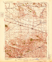
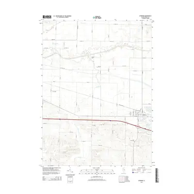
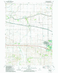 1991 Atkinson1992 Print · USGSThe village of Atkinson and the surrounding Illinois prairie are shown here in the early nineties as the region maintained its deep agricultural and water-management roots. Researchers can trace family history at St Anthony Cem, locate the Spring Creek Grange Hall, or follow the path of the Hennepin Canal.
 - 2012 Map of Annawan, 2012 Print
 2012 Annawan2012 Print · USGSCovers Atkinson, including Annawan, Henry County, and other nearby areas
 - 2012 Map of Atkinson, 2012 Print
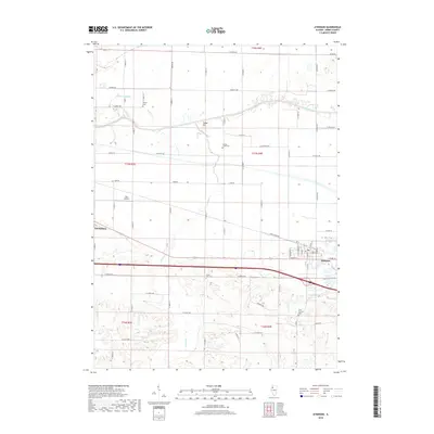
 2012 Atkinson2012 Print · USGSCovers Atkinson, including Geneseo, Henry County, and other nearby areas
 - 2015 Map of Atkinson, 2015 Print
 2015 Atkinson2015 Print · USGSCovers Atkinson, including Geneseo, Henry County, and other nearby areas
 - 2015 Map of Annawan, 2015 Print
 2015 Annawan2015 Print · USGSCovers Atkinson, including Annawan, Henry County, and other nearby areas
 - 2018 Map of Atkinson, 2018 Print
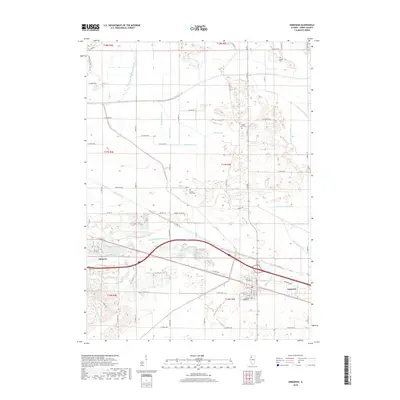
 2018 Atkinson2018 Print · USGSCovers Atkinson, including Geneseo, Henry County, and other nearby areas
 - 2018 Map of Annawan, 2018 Print
 2018 Annawan2018 Print · USGSCovers Atkinson, including Annawan, Henry County, and other nearby areas
 - 2021 Map of Atkinson, 2021 Print
 2021 Atkinson2021 Print · USGSCovers Atkinson, including Geneseo, Henry County, and other nearby areas
 - 2021 Map of Annawan, 2021 Print
 2021 Annawan2021 Print · USGSCovers Atkinson, including Annawan, Henry County, and other nearby areas
 - 2024 Map of Annawan, 2024 Print
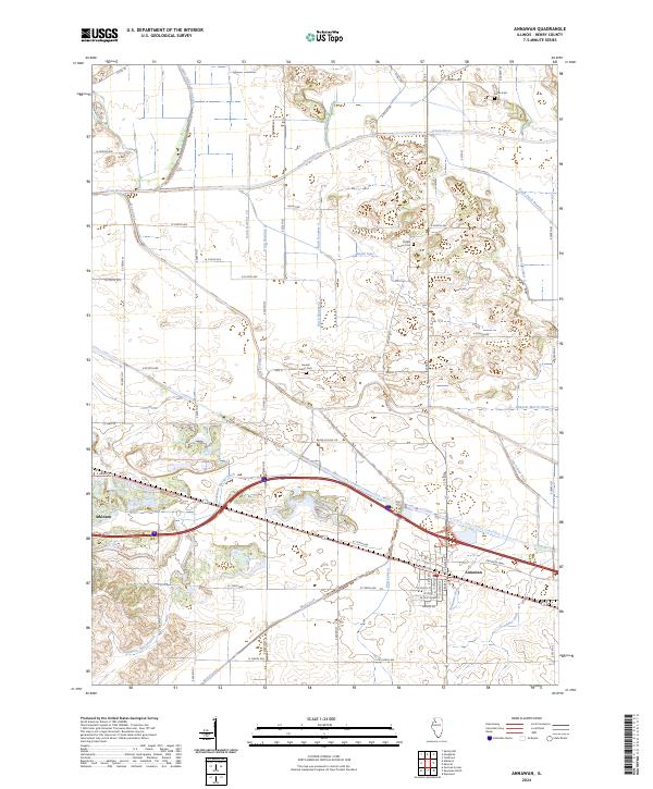 2024 Annawan2024 Print · USGSThe towns of Atkinson and Annawan are shown in the early twenty-first century amidst a complex network of agricultural drainage. Researchers can trace the paths of the Green River, find historic burials at Maple Grove Cem, or locate the Spath Spur.
 - 2024 Map of Atkinson, 2024 Print
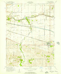
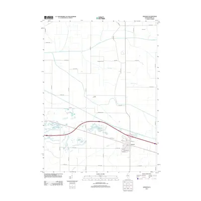
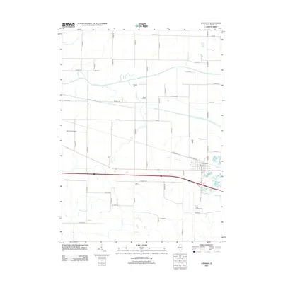
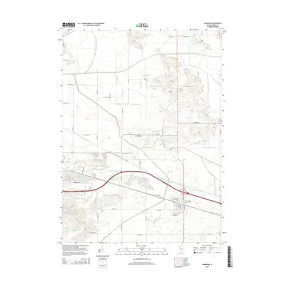
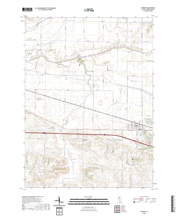 2024 Atkinson2024 Print · USGSAtkinson and the surrounding Henry County prairie are documented here in a modern survey of Illinois farmland and rail history. Genealogists can locate several rural burial sites like Mizpah Cem and Saint Anthony Cem or trace the drainage paths of the Green River.
End of results
Showing maps 1-24 of 24
Top cities near Atkinson
- Kewanee historical maps
- Geneseo historical maps
- Cambridge historical maps
- Osceola historical maps
- Annawan historical maps
- Tampico historical maps
See more
Frequently asked questions
- What are the different types of historical maps available for Atkinson?
- What is the oldest map of Atkinson?
- Where can I purchase historical maps of Atkinson for my home or office?
- Where can I download high-res historical maps of Atkinson?
- Are there historical topographic maps available for Atkinson?
- Is there historical aerial imagery available for Atkinson?
- Where are historical maps of Atkinson sourced from?