2020s Maps of Makanda, Illinois
Explore 8 historic maps of Makanda from the 2020s. These maps offer a rare glimpse into what life looked like during the 2020s — showing old roads, neighborhoods, homes, and landmarks that have changed or disappeared over time.
Whether you're researching your family's past, planning a metal detecting trip, or studying how Makanda's landscape evolved across the 2020s, these high-resolution maps are a powerful tool for exploring the history of this region.
- Focus on a specific era: All maps on this page are from the 2020s, giving you a focused view of this time period.
- See what’s changed: Compare century-old streets, trails, and buildings to today's modern landscape using overlays and satellite layers.
- Research with precision: Use these maps for genealogy, historical research, land use analysis, or educational projects.
- View, download, or print: Maps are fully viewable online in high resolution, and can be downloaded or printed for your own records.
Start exploring Makanda's history through authentic maps from the 2020s. This is your window into the past.
Makanda, IL maps
(8)- 2021 Map of Makanda, 2021 Print
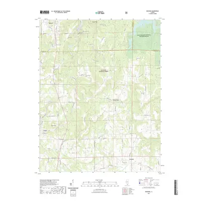 2021 Makanda2021 Print · USGSCovers Makanda, including Cobden, Water Valley, and other nearby areas
 - 2021 Map of Pomona, 2021 Print
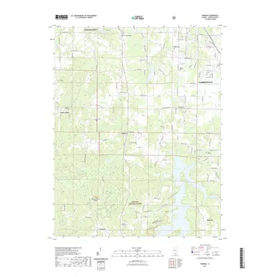 2021 Pomona2021 Print · USGSCovers Makanda, including Carbondale, Murphysboro, and other nearby areas
 - 2021 Map of Cobden, 2021 Print
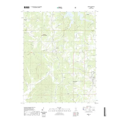 2021 Cobden2021 Print · USGSCovers Makanda, including Cobden, Alto Pass, and other nearby areas
 - 2021 Map of Carbondale, 2021 Print
 2021 Carbondale2021 Print · USGSCovers Makanda, including Carbondale, Carterville, and other nearby areas
 - 2024 Map of Carbondale, 2024 Print
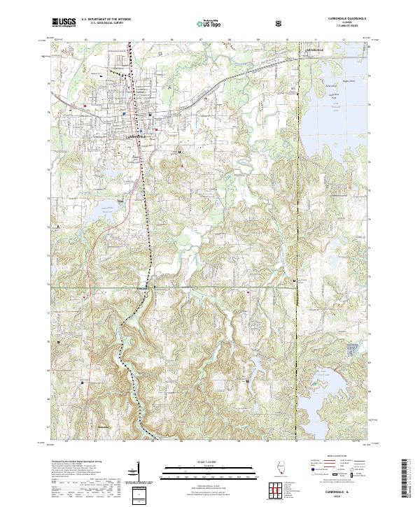 2024 Carbondale2024 Print · USGSCarbondale and its neighboring communities are shown at the edge of the great southern Illinois forests in the early 2020s. Genealogists can trace a wealth of burial sites including Woodlawn Cem and Winchester Cem alongside the campus of Southern Illinois University Carbondale.
 - 2024 Map of Cobden, 2024 Print
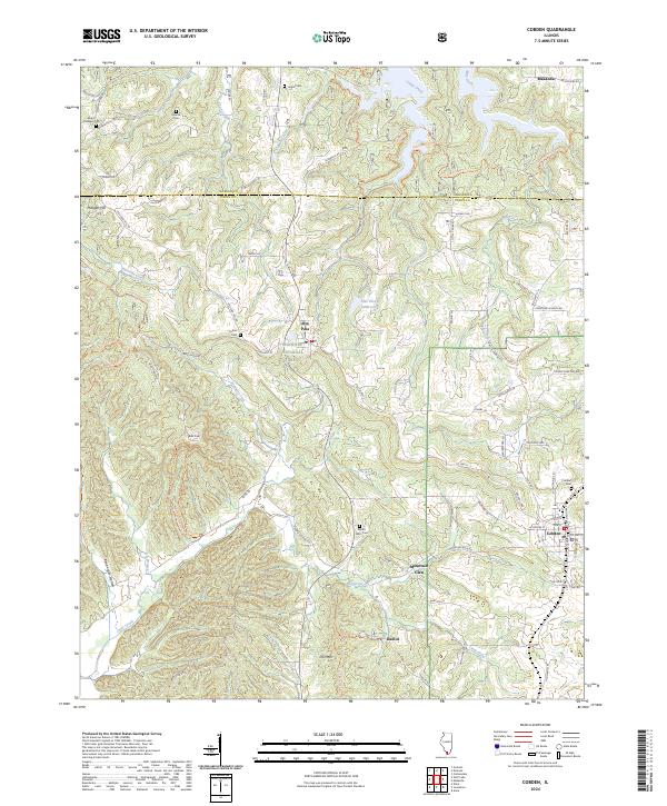 2024 Cobden2024 Print · USGSThe Shawnee Hills of southern Illinois appear in high detail during the early 2020s, centered on the high orchards and ridges of Union County. Researchers can trace remote family burial grounds like Stearns Cem or locate old landmarks such as Iron Mtn and Kaolin.
 - 2024 Map of Makanda, 2024 Print
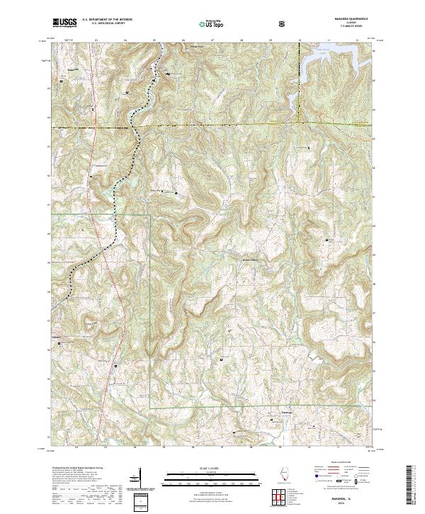 2024 Makanda2024 Print · USGSSouthern Illinois at the edge of the Shawnee National Forest comes to life in this detailed survey of the Jackson and Union county border. Researchers can trace family history through sites like Makanda Cem or explore the rugged terrain near Tiptop Knob and Little Grassy Lake.
 - 2024 Map of Pomona, 2024 Print
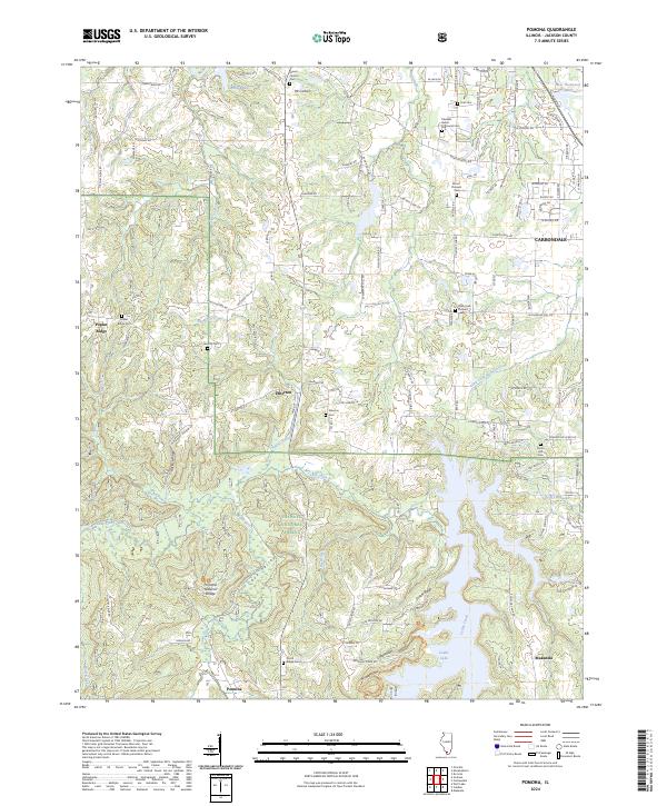 2024 Pomona2024 Print · USGSSouthern Jackson County comes into focus in this recent survey, showcasing the overlap between municipal growth and the rugged SHAWNEE NATIONAL FOREST. Genealogists can trace family names at Poplar Ridge Cem or locate the unique Pomona Natural Bridge near Pomona.
End of results
Showing maps 1-8 of 8
Top cities near Makanda
- Carbondale historical maps
- Marion historical maps
- Herrin historical maps
- Murphysboro historical maps
- Carterville historical maps
- Anna historical maps
See more
Frequently asked questions
- What are the different types of historical maps available for Makanda?
- What is the oldest map of Makanda?
- Where can I purchase historical maps of Makanda for my home or office?
- Where can I download high-res historical maps of Makanda?
- Are there historical topographic maps available for Makanda?
- Is there historical aerial imagery available for Makanda?
- Where are historical maps of Makanda sourced from?