Old Maps of Dix, Illinois for Hiking & Exploration
Hike through history with 11 historic maps of Dix. Explore old trails, ghost towns, and forgotten backroads — perfect for outdoor adventurers and local explorers.
- Rediscover forgotten places: Map out old mining camps, roads, and footpaths that no longer exist on modern maps.
- Layer with modern tools: Combine with LiDAR or satellite views to plan hikes through historical terrain.
- Made for exploration: Popular among hikers, overlanders, and local history lovers.
Use these maps to find adventure and explore the hidden past of Dix.
Dix, IL maps
(11)- 1933 Map of Mount Vernon
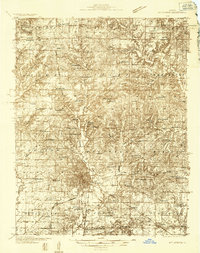 1933 Mount Vernon1933 Print · USGSMount Vernon and the surrounding Jefferson County countryside are captured here in the early 1930s as a vital crossroads of rail and road. Genealogists can trace family roots through dozens of rural landmarks like Old Shiloh Ch, George College Sch, and Atkinson Cem.3 unique versions available
 - 1940 Map of Mount Vernon
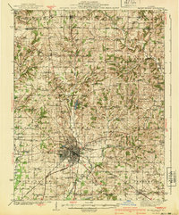 1940 Mount Vernon1940 Print · USGSMount Vernon and the surrounding Jefferson County countryside are captured here during the late Depression years. Researchers can trace rural family life through dozens of named country schools and churches like George College Sch, Old Shiloh Ch, and Atkinson Cem.2 unique versions available
 - 1958 Map of Belleville, 1973 Print
 1958 Belleville1973 Print · USGSSouthern Illinois during the mid-twentieth century reveals a landscape of industrial growth and massive new reservoirs. Genealogists and historians can trace the paths of the Illinois Central RR through towns like Centralia or locate landmarks such as Emerald Mound and the Looking Glass Prairie.3 unique versions available
 - 1962 Map of Belleville
 1962 Belleville1962 Print · USGSSouthern Illinois in the late fifties reveals a landscape of industrial growth and ancient landmarks before the full expansion of the interstate system. Genealogists can trace family names and rural post offices near Centralia, Salem, and the historic Monks Mound.
 - 1965 Map of Kell, 1968 Print
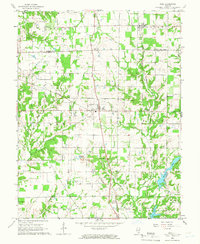 1965 Kell1968 Print · USGSSouthern Illinois at the mid-century reveals a landscape defined by crossroads settlements and a network of parish life along the Marion and Jefferson County line. Family historians can trace deep roots through local landmarks like Old Covenanter Cem, Dix, and the Zion Grove Ch.2 unique versions available
 - 1982 Map of Mount Vernon
 1982 Mount Vernon1982 Print · USGSSouthern Illinois and Southwestern Indiana meet here during a period of significant regional water management and transit growth. Researchers can trace the development of Rend Lake and locate vanished rail stops along the Southern RR near Bluford and Golden Gate.
 - 2012 Map of Kell, 2012 Print
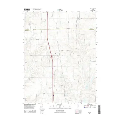
 2012 Kell2012 Print · USGSCovers Dix, including Kell, Texico, and other nearby areas
 - 2015 Map of Kell, 2015 Print
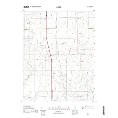
 2015 Kell2015 Print · USGSCovers Dix, including Kell, Texico, and other nearby areas
 - 2018 Map of Kell, 2018 Print
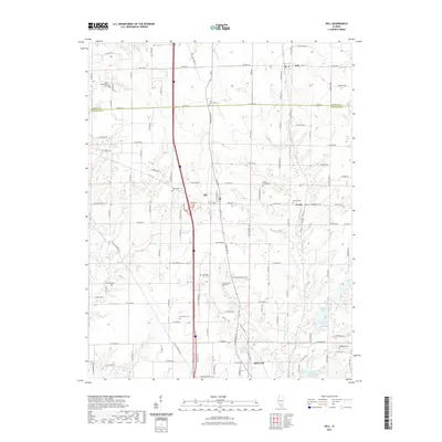
 2018 Kell2018 Print · USGSCovers Dix, including Kell, Texico, and other nearby areas
 - 2021 Map of Kell, 2021 Print
 2021 Kell2021 Print · USGSCovers Dix, including Kell, Texico, and other nearby areas
 - 2024 Map of Kell, 2024 Print
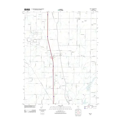
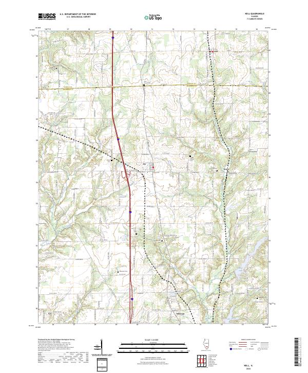 2024 Kell2024 Print · USGSThis Illinois prairie landscape spans the border of Marion and Jefferson counties, showing the rural communities of Kell and Texico in the modern era. Genealogists can trace family heritage through nearly a dozen local burial grounds, including Old Covenanter Cem and Gilead Cem.
End of results
Showing maps 1-11 of 11
Top cities near Dix
- Mount Vernon historical maps
- Centralia historical maps
- Salem historical maps
- Sandoval historical maps
- Central City historical maps
- Odin historical maps
See more
Frequently asked questions
- What are the different types of historical maps available for Dix?
- What is the oldest map of Dix?
- Where can I purchase historical maps of Dix for my home or office?
- Where can I download high-res historical maps of Dix?
- Are there historical topographic maps available for Dix?
- Is there historical aerial imagery available for Dix?
- Where are historical maps of Dix sourced from?