Old Maps of Berreman Township, Illinois
Explore 22 old maps of Berreman Township, spanning from 1937 to today. These high-resolution historic maps reveal how streets, neighborhoods, landmarks, and natural features evolved over time — perfect for genealogy, metal detecting, research, and local history exploration.
What you can do with these maps:
- See how Berreman Township changed over time: Compare historical maps to modern-day views to trace roads, homesites, rail lines & more.
- View detailed metadata: Each map includes creators, publishers, year, scale, and archive source.
- Overlay maps with satellite & LiDAR: Visualize the past alongside modern tools to explore terrain & human change.
- Trusted historical sources: Maps sourced from the USGS, Library of Congress, and other archives.
- Access maps your way: View online, download high-res files, or order prints for personal or research use.
Start exploring old maps of Berreman Township to uncover forgotten places, hidden landmarks, and the deep history beneath your feet.
Berreman Township, IL maps
(22)- 1937 Map of Lena
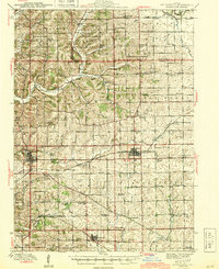
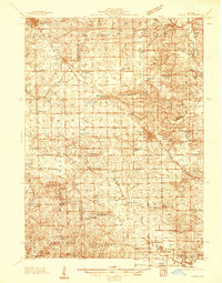 1937 Lena1937 Print · USGSNorthwestern Illinois at the close of the Depression era shows a landscape dense with rural life and rail activity. Genealogists can trace family roots through numerous landmarks like Chelsea Ch, Blair Cem, and the Blackhawk Battlefield and Monument.
 - 1942 Map of Mt Carroll, 1959 Print
 1942 Mt Carroll1959 Print · USGSNorthwest Illinois farmland is mapped here just after the start of the war, showing a landscape tightly connected by rail and rural schools. Genealogists can locate family landmarks like Sabin Ch, the Spring Valley Cem, or rail stops at Ashdale Junc and Kittredge.2 unique versions available
 - 1942 Map of Lena, 1963 Print
 1942 Lena1963 Print · USGSNorthwestern Illinois is documented here just as the rural rail-and-school network reached its peak. Genealogists and historians can trace family roots through numerous country schools like Eells Sch and historic sites such as the Blackhawk Battlefield and Monument.
 - 1943 Map of Lena
 1943 Lena1943 Print · USGSNorthwestern Illinois during the early years of the war shows a landscape shaped by two major railroads and small farming townships. Genealogists can locate dozens of family-named schools and churches, including Puckett Sch, St Marys Ch, and the Blackhawk Battlefield And Monument.2 unique versions available
 - 1944 Map of Mt Carroll
 1944 Mt Carroll1944 Print · USGSThe Carroll County landscape during the mid-1940s was defined by a dense network of country schools and the vital crossroads of the Milwaukee Road. Genealogists and historians can trace old homesteads near St Wendelin Cem, Ashdale Junc, and Loran.2 unique versions available
 - 1954 Map of Rockford
 1954 Rockford1954 Print · USGSThe Rock River valley and the Illinois-Wisconsin borderlands are captured here in the mid-1950s during a period of robust industrial and agricultural activity. Genealogists and historians can trace rail-era corridors like the Illinois Central RR and locate landmarks from Big Foot Prairie to Lake Geneva.
 - 1955 Map of Rockford
 1955 Rockford1955 Print · USGSThe Rock River valley and southern Wisconsin dairy country are shown here in the mid-fifties as the region's manufacturing centers grew. Genealogists and historians can trace the paths of the Chicago and North Western RR and Illinois Central RR through hubs like Rockford and Beloit.
 - 1958 Map of Rockford, 1974 Print
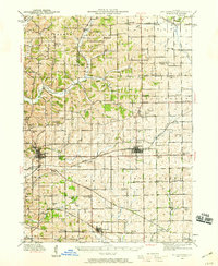
 1958 Rockford1974 Print · USGSNorthern Illinois and southern Wisconsin are shown here in the mid-twentieth century as rail-dependent industrial towns began to interface with growing lakefront communities. Genealogists can trace family roots through settlements like Saylesville and Tess Corners or locate historical landmarks like the Rockford Ordnance Depot.4 unique versions available
 - 1963 Map of Rockford
 1963 Rockford1963 Print · USGSThe mid-century industrial corridor along the Rock River is shown here during a period of rapid post-war growth. Researchers can trace the extensive rail lines of the Chicago and North Western or locate local landmarks like the Rockford Ordnance Depot and Holy Hill.
 - 1971 Map of Kent, 1974 Print
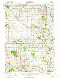
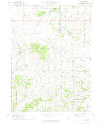 1971 Kent1974 Print · USGSThe rural borderlands of Jo Daviess and Stephenson counties are shown here during the early 1970s, focused on the rail-side settlement of Kent. Researchers can trace old family sites and local landmarks like St Pauls Ch, Blair Cem, and Morseville.
 - 1981 Map of Rockford
 1981 Rockford1981 Print · USGSNorthern Illinois during the early eighties shows a landscape shaped by river valleys and a maturing rail network. Genealogists can trace family roots through settlements like Morseville and Buckhorn Corners while exploring the Rock River valley.2 unique versions available
 - 1985 Map of Loran, 1986 Print
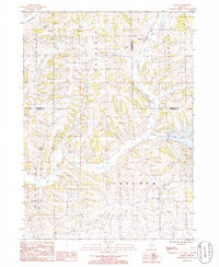 1985 Loran1986 Print · USGSNorthwest Illinois farmland and valley networks are captured here during the mid-1980s. Genealogists and local historians can trace the rural landscape surrounding the village of Loran and the winding course of Muddy Plum.
 - 2012 Map of Loran, 2012 Print
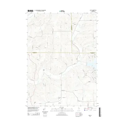
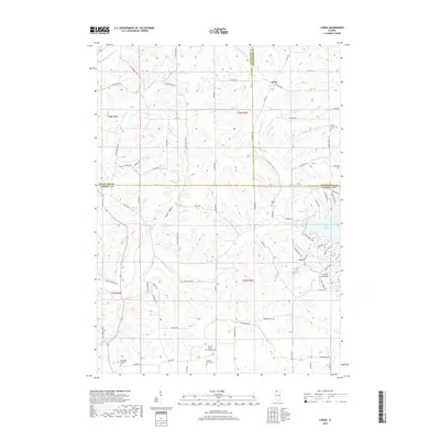
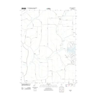 2012 Loran2012 Print · USGSCovers Berreman Township, including Loran, Pleasant Valley Township, and other nearby areas
 - 2012 Map of Kent, 2012 Print
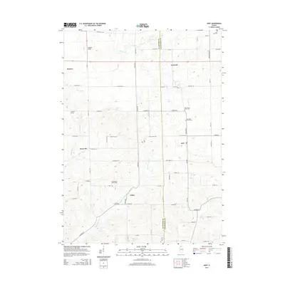
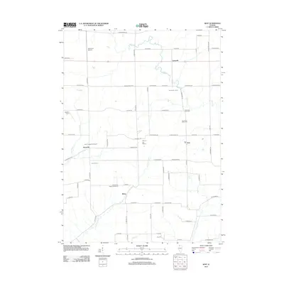 2012 Kent2012 Print · USGSCovers Berreman Township, including Stockton, Kent, and other nearby areas
 - 2015 Map of Loran, 2015 Print
 2015 Loran2015 Print · USGSCovers Berreman Township, including Loran, Pleasant Valley Township, and other nearby areas
 - 2015 Map of Kent, 2015 Print
 2015 Kent2015 Print · USGSCovers Berreman Township, including Stockton, Kent, and other nearby areas
 - 2018 Map of Loran, 2018 Print
 2018 Loran2018 Print · USGSCovers Berreman Township, including Loran, Pleasant Valley Township, and other nearby areas
 - 2018 Map of Kent, 2018 Print
 2018 Kent2018 Print · USGSCovers Berreman Township, including Stockton, Kent, and other nearby areas
 - 2021 Map of Kent, 2021 Print
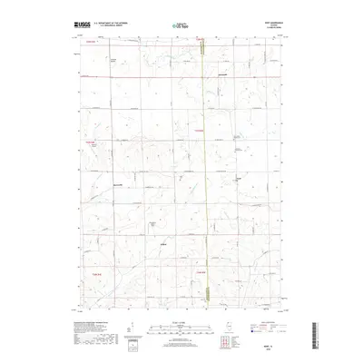
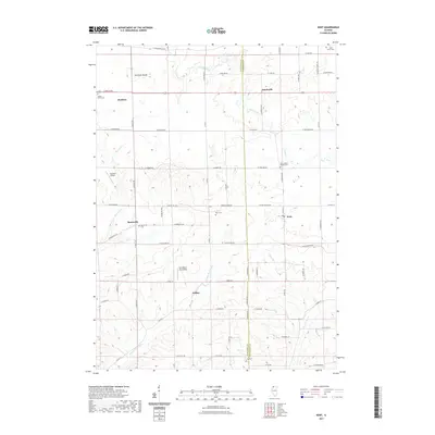 2021 Kent2021 Print · USGSCovers Berreman Township, including Stockton, Kent, and other nearby areas
 - 2021 Map of Loran, 2021 Print
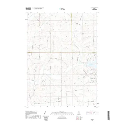 2021 Loran2021 Print · USGSCovers Berreman Township, including Loran, Pleasant Valley Township, and other nearby areas
 - 2024 Map of Loran, 2024 Print
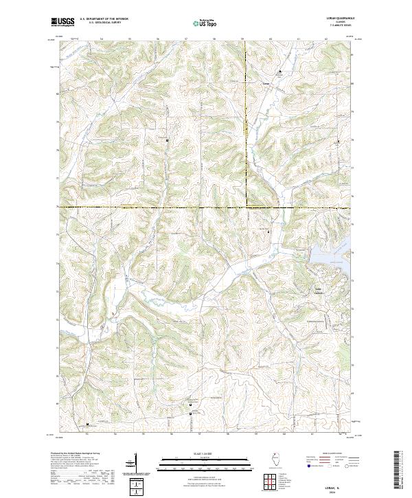 2024 Loran2024 Print · USGSSpanning Carroll and Stephenson counties in the early 2020s, this area maintains its rural character across the Plum River drainages. Researchers can trace family history through numerous small grounds like Arnolds Grove Dunkard Cem and Loran Methodist Cem near the village of Loran.
 - 2024 Map of Kent, 2024 Print
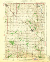
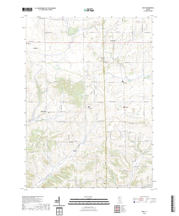 2024 Kent2024 Print · USGSNorthwestern Illinois farm country and the Jo Daviess county line are captured here in the early twenty-first century. Genealogists and local historians can trace rural roots at Kent United Baptist Cem, Morseville Cem, and the high ground of Simmons Mound.
End of results
Showing maps 1-22 of 22
Top cities near Berreman Township
- Lena historical maps
- Savanna historical maps
- Stockton historical maps
- Mount Carroll historical maps
- Lanark historical maps
- Loran historical maps
See more
Top neighborhoods of Berreman Township
Frequently asked questions
- What are the different types of historical maps available for Berreman Township?
- What is the oldest map of Berreman Township?
- Where can I purchase historical maps of Berreman Township for my home or office?
- Where can I download high-res historical maps of Berreman Township?
- Are there historical topographic maps available for Berreman Township?
- Is there historical aerial imagery available for Berreman Township?
- Where are historical maps of Berreman Township sourced from?