Old Maps of Lena, Illinois
Explore 20 old maps of Lena, spanning from 1937 to today. These high-resolution historic maps reveal how streets, neighborhoods, landmarks, and natural features evolved over time — perfect for genealogy, metal detecting, research, and local history exploration.
What you can do with these maps:
- See how Lena changed over time: Compare historical maps to modern-day views to trace roads, homesites, rail lines & more.
- View detailed metadata: Each map includes creators, publishers, year, scale, and archive source.
- Overlay maps with satellite & LiDAR: Visualize the past alongside modern tools to explore terrain & human change.
- Trusted historical sources: Maps sourced from the USGS, Library of Congress, and other archives.
- Access maps your way: View online, download high-res files, or order prints for personal or research use.
Start exploring old maps of Lena to uncover forgotten places, hidden landmarks, and the deep history beneath your feet.
Lena, IL maps
(20)- 1937 Map of Lena
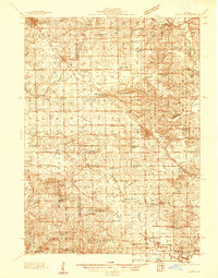 1937 Lena1937 Print · USGSNorthwestern Illinois at the close of the Depression era shows a landscape dense with rural life and rail activity. Genealogists can trace family roots through numerous landmarks like Chelsea Ch, Blair Cem, and the Blackhawk Battlefield and Monument.
 - 1942 Map of Lena, 1963 Print
 1942 Lena1963 Print · USGSNorthwestern Illinois is documented here just as the rural rail-and-school network reached its peak. Genealogists and historians can trace family roots through numerous country schools like Eells Sch and historic sites such as the Blackhawk Battlefield and Monument.
 - 1943 Map of Lena
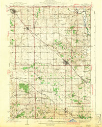 1943 Lena1943 Print · USGSNorthwestern Illinois during the early years of the war shows a landscape shaped by two major railroads and small farming townships. Genealogists can locate dozens of family-named schools and churches, including Puckett Sch, St Marys Ch, and the Blackhawk Battlefield And Monument.2 unique versions available
 - 1954 Map of Rockford
 1954 Rockford1954 Print · USGSThe Rock River valley and the Illinois-Wisconsin borderlands are captured here in the mid-1950s during a period of robust industrial and agricultural activity. Genealogists and historians can trace rail-era corridors like the Illinois Central RR and locate landmarks from Big Foot Prairie to Lake Geneva.
 - 1955 Map of Rockford
 1955 Rockford1955 Print · USGSThe Rock River valley and southern Wisconsin dairy country are shown here in the mid-fifties as the region's manufacturing centers grew. Genealogists and historians can trace the paths of the Chicago and North Western RR and Illinois Central RR through hubs like Rockford and Beloit.
 - 1958 Map of Rockford, 1974 Print
 1958 Rockford1974 Print · USGSNorthern Illinois and southern Wisconsin are shown here in the mid-twentieth century as rail-dependent industrial towns began to interface with growing lakefront communities. Genealogists can trace family roots through settlements like Saylesville and Tess Corners or locate historical landmarks like the Rockford Ordnance Depot.4 unique versions available
 - 1963 Map of Rockford
 1963 Rockford1963 Print · USGSThe mid-century industrial corridor along the Rock River is shown here during a period of rapid post-war growth. Researchers can trace the extensive rail lines of the Chicago and North Western or locate local landmarks like the Rockford Ordnance Depot and Holy Hill.
 - 1971 Map of Pearl City, 1974 Print
 1971 Pearl City1974 Print · USGSPearl City and the surrounding Stephenson County townships are captured here in the early seventies as a mature rail-and-road landscape. Genealogists and local historians can locate numerous rural burial grounds like Highland Cem and Grace Cem, or trace the path of the Chicago and North Western railroad.
 - 1971 Map of Lena, 1974 Print
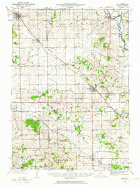
 1971 Lena1974 Print · USGSNorthwest Illinois in the early seventies shows a landscape of river valleys and rail hubs near the state line. Genealogists can trace family sites at Christian Hollow Cem and Manny Cem or explore the growth of Lena and Winslow.2 unique versions available
 - 1981 Map of Rockford
 1981 Rockford1981 Print · USGSNorthern Illinois during the early eighties shows a landscape shaped by river valleys and a maturing rail network. Genealogists can trace family roots through settlements like Morseville and Buckhorn Corners while exploring the Rock River valley.2 unique versions available
 - 2012 Map of Lena, 2012 Print
 2012 Lena2012 Print · USGSCovers Lena, including Winslow, Stephenson County, and other nearby areas
 - 2012 Map of Pearl City, 2012 Print
 2012 Pearl City2012 Print · USGSCovers Lena, including Pearl City, Salem, and other nearby areas
 - 2015 Map of Pearl City, 2015 Print
 2015 Pearl City2015 Print · USGSCovers Lena, including Pearl City, Salem, and other nearby areas
 - 2015 Map of Lena, 2015 Print
 2015 Lena2015 Print · USGSCovers Lena, including Winslow, Stephenson County, and other nearby areas
 - 2018 Map of Lena, 2018 Print
 2018 Lena2018 Print · USGSCovers Lena, including Winslow, Stephenson County, and other nearby areas
 - 2018 Map of Pearl City, 2018 Print
 2018 Pearl City2018 Print · USGSCovers Lena, including Pearl City, Salem, and other nearby areas
 - 2021 Map of Lena, 2021 Print
 2021 Lena2021 Print · USGSCovers Lena, including Winslow, Stephenson County, and other nearby areas
 - 2021 Map of Pearl City, 2021 Print
 2021 Pearl City2021 Print · USGSCovers Lena, including Pearl City, Salem, and other nearby areas
 - 2024 Map of Pearl City, 2024 Print
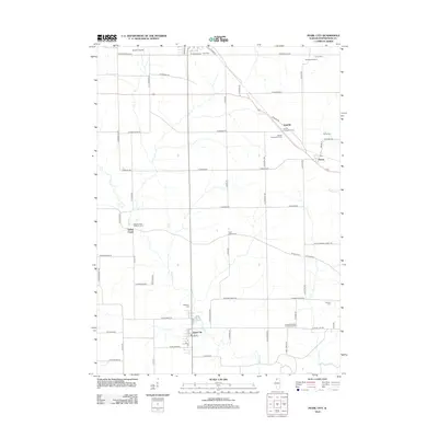
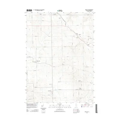
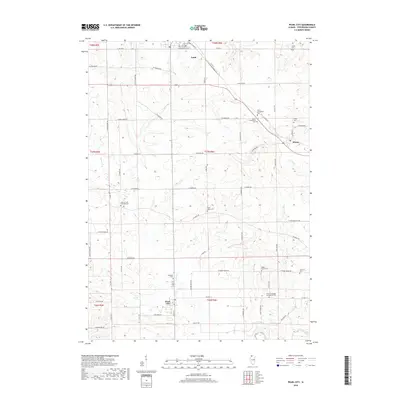
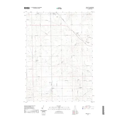
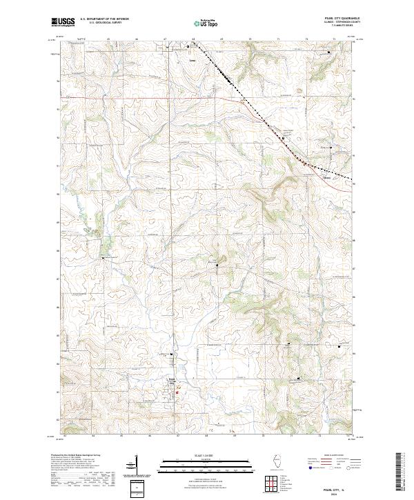 2024 Pearl City2024 Print · USGSStephenson County’s agricultural heartland is documented here in the early twenty-first century, centered on the village of Pearl City. Researchers can locate several lineage-rich sites including Highland Cem, Babbs Grove Cem, and Lena Burial Park Cem.
 - 2024 Map of Lena, 2024 Print
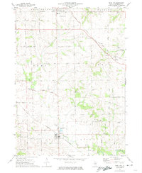
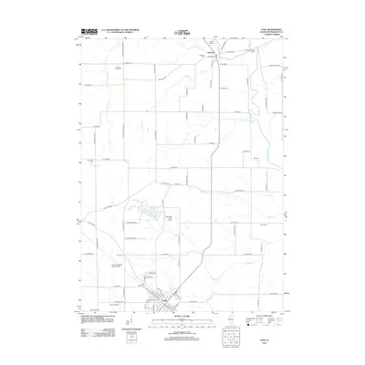
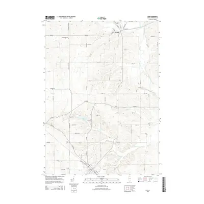
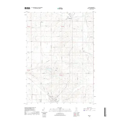
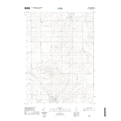
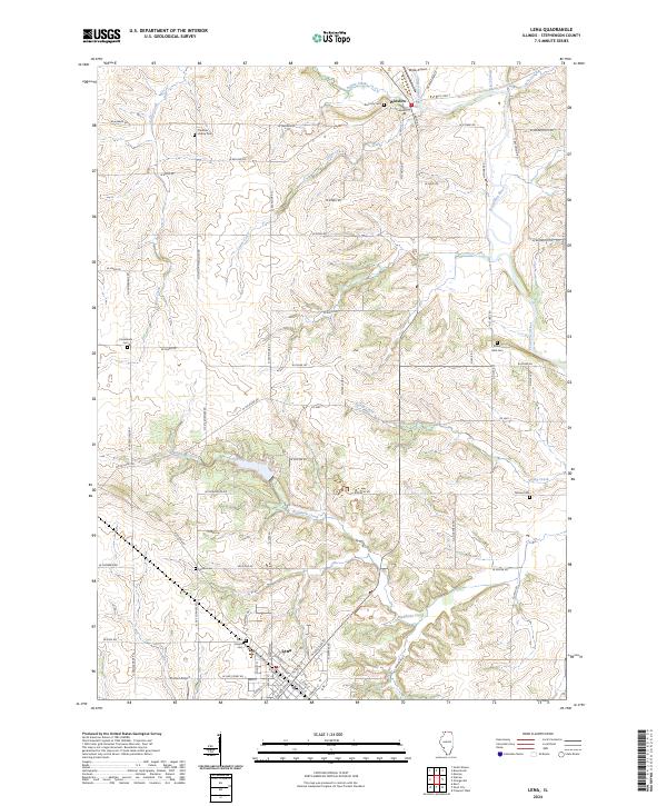 2024 Lena2024 Print · USGSModern-day Stephenson County retains its historic rural character as seen in this detailed map of Lena and Winslow. Genealogists can trace family heritage through numerous landmarks like Saint Joseph Cem, Louisa Cem, and Crossroads Cem.
End of results
Showing maps 1-20 of 20
Top cities near Lena
- Freeport historical maps
- Monroe historical maps
- Stockton historical maps
- Warren historical maps
- Loran historical maps
- Oneco historical maps
See more
Frequently asked questions
- What are the different types of historical maps available for Lena?
- What is the oldest map of Lena?
- Where can I purchase historical maps of Lena for my home or office?
- Where can I download high-res historical maps of Lena?
- Are there historical topographic maps available for Lena?
- Is there historical aerial imagery available for Lena?
- Where are historical maps of Lena sourced from?