Old Maps of Berreman Township, Illinois for Genealogy
Trace your family roots with 14 historic maps of Berreman Township. These high-res maps reveal old neighborhoods, homesites, landmarks, and streets — helping you uncover where your ancestors lived and how the area evolved over time.
- Explore historic neighborhoods: Identify where your relatives may have lived in the 1800s or 1900s.
- Compare maps over time: Trace the changes in streets, buildings, and landmarks for multi-generational research.
- Perfect for genealogy & ancestry research: Used by family historians and researchers to map out lineage and migration.
These maps are an incredible resource for exploring your personal connection to Berreman Township's past.
Berreman Township, IL maps
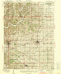
(14)- 1937 Map of Lena
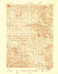 1937 Lena1937 Print · USGSCovers Berreman Township, including Lena, Stockton, and other nearby areas
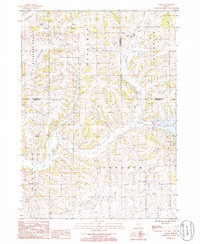
 - 1942 Map of Mt Carroll, 1959 Print
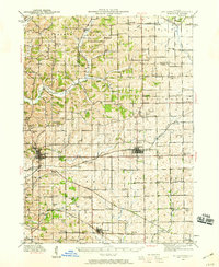 1942 Mt Carroll1959 Print · USGSCovers Berreman Township, including Mount Carroll, Lanark, and other nearby areas2 unique versions available
 - 1942 Map of Lena, 1963 Print
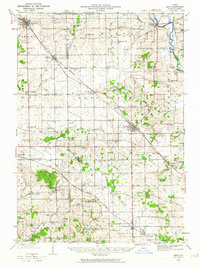 1942 Lena1963 Print · USGSCovers Berreman Township, including Lena, Stockton, and other nearby areas
 - 1943 Map of Lena
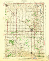 1943 Lena1943 Print · USGSCovers Berreman Township, including Lena, Stockton, and other nearby areas2 unique versions available
 - 1944 Map of Mt Carroll
 1944 Mt Carroll1944 Print · USGSCovers Berreman Township, including Mount Carroll, Lanark, and other nearby areas2 unique versions available
 - 1954 Map of Rockford
 1954 Rockford1954 Print · USGSCovers Berreman Township, including Milwaukee, Madison, and other nearby areas
 - 1955 Map of Rockford
 1955 Rockford1955 Print · USGSCovers Berreman Township, including Milwaukee, Madison, and other nearby areas
 - 1958 Map of Rockford, 1974 Print
 1958 Rockford1974 Print · USGSCovers Berreman Township, including Milwaukee, Madison, and other nearby areas4 unique versions available
 - 1963 Map of Rockford
 1963 Rockford1963 Print · USGSCovers Berreman Township, including Milwaukee, Madison, and other nearby areas
 - 1971 Map of Kent, 1974 Print
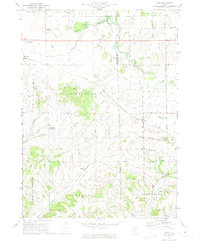 1971 Kent1974 Print · USGSCovers Berreman Township, including Stockton, Kent, and other nearby areas
 - 1981 Map of Rockford
 1981 Rockford1981 Print · USGSCovers Berreman Township, including Rockford, Beloit, and other nearby areas2 unique versions available
 - 1985 Map of Loran, 1986 Print
 1985 Loran1986 Print · USGSCovers Berreman Township, including Loran, Pleasant Valley Township, and other nearby areas
 - 2024 Map of Loran, 2024 Print
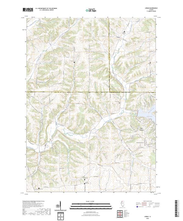 2024 Loran2024 Print · USGSCovers Berreman Township, including Loran, Pleasant Valley Township, and other nearby areas
 - 2024 Map of Kent, 2024 Print
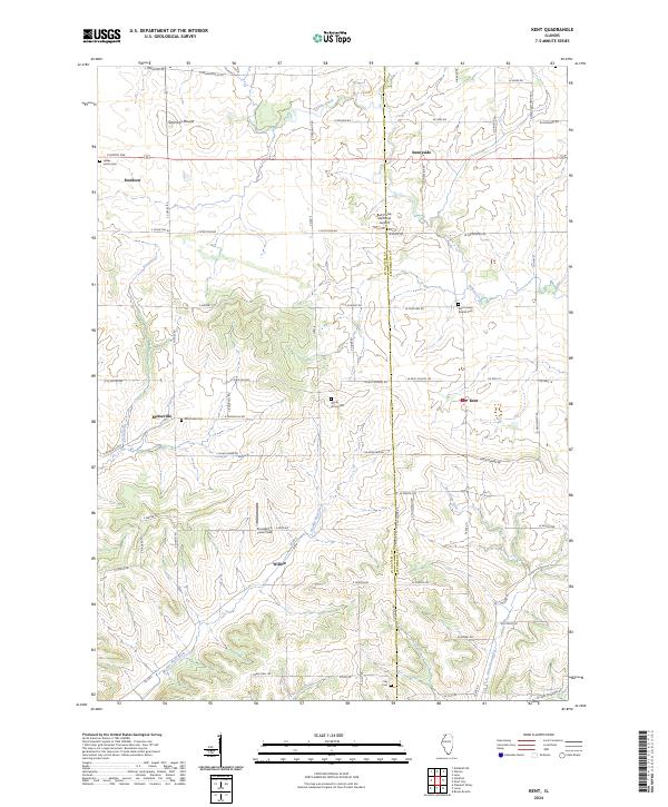 2024 Kent2024 Print · USGSCovers Berreman Township, including Stockton, Kent, and other nearby areas
End of results
Showing maps 1-14 of 14
Top cities near Berreman Township
- Lena historical maps
- Savanna historical maps
- Stockton historical maps
- Mount Carroll historical maps
- Lanark historical maps
- Loran historical maps
See more
Top neighborhoods of Berreman Township
Frequently asked questions
- What are the different types of historical maps available for Berreman Township?
- What is the oldest map of Berreman Township?
- Where can I purchase historical maps of Berreman Township for my home or office?
- Where can I download high-res historical maps of Berreman Township?
- Are there historical topographic maps available for Berreman Township?
- Is there historical aerial imagery available for Berreman Township?
- Where are historical maps of Berreman Township sourced from?