Old Maps of Guilford Township, Illinois for Metal Detecting
Plan your next treasure hunt with 33 historic maps of Guilford Township. Find old homesites, ghost towns, trails, and gathering spots that may be lost to time — perfect for identifying promising metal detecting locations.
- Locate forgotten sites: Uncover places like long-lost settlements, abandoned rail lines, or gathering spots.
- Plan better hunts: Use map overlays combined with LiDAR or satellite views to narrow in on historically rich areas.
- Made for detectorists: Thousands of hobbyists use these maps to discover relics, coins, and hidden history.
Use these historic maps to boost your research and find new opportunities beneath the surface of Guilford Township.
Guilford Township, IL maps
(33)- 1911 Map of Elizabeth
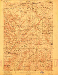 1911 Elizabeth1911 Print · USGSNorthwestern Illinois at the start of the century was a landscape of ridge-top schools and valley-floor mines. Genealogists can trace early homesteads near Salem Church or locate historic mining operations like the Illinois Mines and Skene Mine.2 unique versions available
 - 1911 Map of Galena, 1953 Print
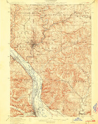
 1911 Galena1953 Print · USGSBefore the decline of the local lead industry, this area was a hub of mining and river commerce. Genealogists can trace family names through dozens of rural schools and mines like Blackjack Mine, or locate long-lost river crossings like Gears Ferry.3 unique versions available
 - 1913 Map of Galena
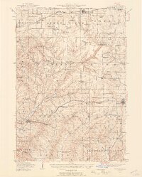
 1913 Galena1913 Print · USGSThe mining and river districts of Jo Daviess County are captured here just before the First World War. Genealogists and researchers can locate family-named landmarks like Horseshoe Mound, local schools such as Miners School, and industrial sites like the Hoskin Mine.3 unique versions available
 - 1936 Map of Elizabeth, 1957 Print
 1936 Elizabeth1957 Print · USGSNorthwest Illinois is shown in the mid-1930s as a landscape of isolated mounds and active lead mines. Genealogists can trace rural communities through dozens of local schoolhouses like Equal Rights School and small mining sites such as the Illinois Mine.2 unique versions available
 - 1959 Map of Dubuque, 1982 Print
 1959 Dubuque1982 Print · USGSThe Tri-State region comes alive in the mid-twentieth century as a hub of river commerce and rail transit. Genealogists and historians can trace the paths of the Illinois Central Gulf through Dubuque or locate the Savanna Ordnance Depot and Lock and Dam No 11.
 - 1961 Map of Dubuque
 1961 Dubuque1961 Print · USGSThe Tri-State region's river-and-rail landscape is captured here during the early sixties, showing the convergence of Iowa, Illinois, and Wisconsin. Trace mid-century rail lines like the Chicago Great Western Ry and explore sites like the Savanna Ordnance Depot and Backbone State Park.
 - 1962 Map of Dubuque
 1962 Dubuque1962 Print · USGSThe Tri-State region's river-and-rail economy is captured here in the early sixties, centered on the Mississippi River bluffs. Genealogists and historians can locate Numerous lead and zinc mines, the New Melleray Abbey Monastery, and rural hubs like Saint Olaf.2 unique versions available
 - 1968 Map of Scales Mound West, 1970 Print
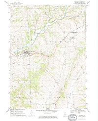
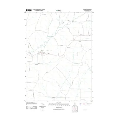
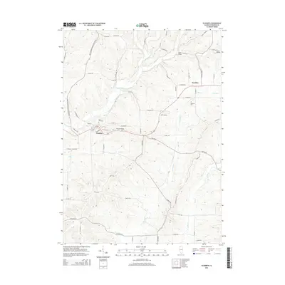
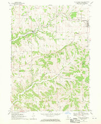 1968 Scales Mound West1970 Print · USGSThe upland ridges and deep hollows of northern Illinois are captured here in the late sixties, where the Illinois Central rail line winds through the valleys. Trace local history through the many rural landmarks like Miners Chapel Cem, Council Hill Station, and Guilford.
 - 1968 Map of Hanover, 1970 Print
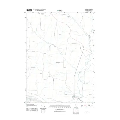
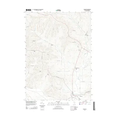
 1968 Hanover1970 Print · USGSJo Daviess County in the late sixties shows a transition from rural farmland to significant military and industrial land use. Researchers can trace family history at Log Church Cem or study the extensive rail infrastructure of the Chicago and North Western and the Savanna Army Depot.3 unique versions available
 - 1968 Map of Elizabeth, 1970 Print
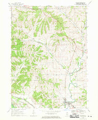
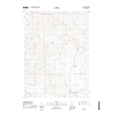
 1968 Elizabeth1970 Print · USGSThe rolling hills of Jo Daviess County come into focus during the late sixties as the rail lines shaped local trade. Researchers can trace family sites near Elizabeth, Woodbine, and Derinda Center, alongside landmarks like St Marys Cem and the Bible Ch.
 - 1968 Map of Scales Mound East, 1971 Print
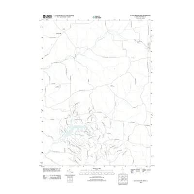
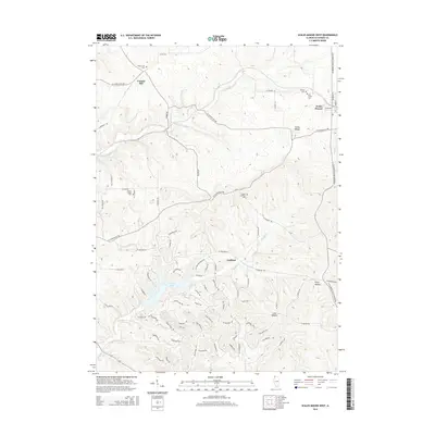
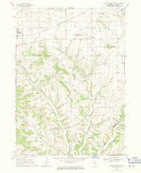 1968 Scales Mound East1971 Print · USGSJo Daviess County in the late sixties shows a landscape of high ridges and driftless valleys defined by the Illinois Central railroad. Genealogists can trace the rural community of Schapville and several unnamed cemeteries near Hells Branch.2 unique versions available
 - 1976 Map of Dubuque
 1976 Dubuque1976 Print · USGSThe tri-state borderlands of Iowa, Wisconsin, and Illinois come alive during the mid-seventies, showing a region built on river commerce and mining. Genealogists and historians can trace the paths of the Illinois Central railroad or locate heritage sites like the New Melleray Abbey Monastery and Backbone State Park.
 - 1984 Map of Dubuque South, 1985 Print
 1984 Dubuque South1985 Print · USGSEastern Iowa and Northwest Illinois meet along the Mississippi in the mid-eighties, a landscape defined by river industry and limestone bluffs. Trace the rail lines of the Illinois Central Gulf or explore notable sites like the Savanna Army Depot and Maquoketa Caves State Park.4 unique versions available
 - 2012 Map of Scales Mound East, 2012 Print
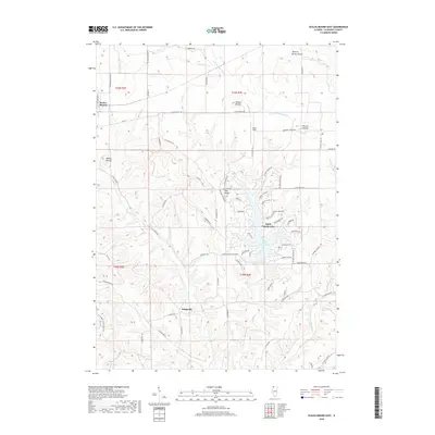
 2012 Scales Mound East2012 Print · USGSCovers Guilford Township, including Scales Mound, Scales Mound Township, and other nearby areas
 - 2012 Map of Elizabeth, 2012 Print
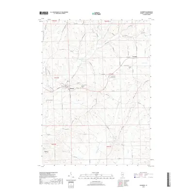
 2012 Elizabeth2012 Print · USGSCovers Guilford Township, including Hanover, Elizabeth, and other nearby areas
 - 2012 Map of Scales Mound West, 2012 Print
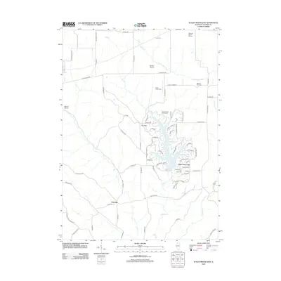
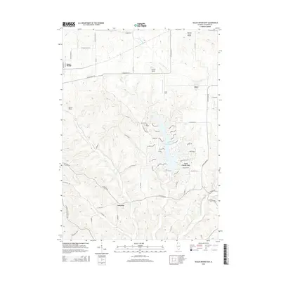
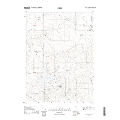
 2012 Scales Mound West2012 Print · USGSCovers Guilford Township, including Guilford, Scales Mound, and other nearby areas
 - 2012 Map of Hanover, 2012 Print
 2012 Hanover2012 Print · USGSCovers Guilford Township, including Hanover, Rice Township, and other nearby areas
 - 2015 Map of Scales Mound East, 2015 Print
 2015 Scales Mound East2015 Print · USGSCovers Guilford Township, including Scales Mound, Scales Mound Township, and other nearby areas
 - 2015 Map of Elizabeth, 2015 Print
 2015 Elizabeth2015 Print · USGSCovers Guilford Township, including Hanover, Elizabeth, and other nearby areas
 - 2015 Map of Scales Mound West, 2015 Print
 2015 Scales Mound West2015 Print · USGSCovers Guilford Township, including Guilford, Scales Mound, and other nearby areas
 - 2015 Map of Hanover, 2015 Print
 2015 Hanover2015 Print · USGSCovers Guilford Township, including Hanover, Rice Township, and other nearby areas
 - 2018 Map of Hanover, 2018 Print
 2018 Hanover2018 Print · USGSCovers Guilford Township, including Hanover, Rice Township, and other nearby areas
 - 2018 Map of Scales Mound East, 2018 Print
 2018 Scales Mound East2018 Print · USGSCovers Guilford Township, including Scales Mound, Scales Mound Township, and other nearby areas
 - 2018 Map of Elizabeth, 2018 Print
 2018 Elizabeth2018 Print · USGSCovers Guilford Township, including Hanover, Elizabeth, and other nearby areas
 - 2018 Map of Scales Mound West, 2018 Print
 2018 Scales Mound West2018 Print · USGSCovers Guilford Township, including Guilford, Scales Mound, and other nearby areas
Showing maps 1-25 of 33
Top cities near Guilford Township
- Galena historical maps
- Bellevue historical maps
- Cuba City historical maps
- Shullsburg historical maps
- Hazel Green historical maps
- Benton historical maps
See more
Top neighborhoods of Guilford Township
Frequently asked questions
- What are the different types of historical maps available for Guilford Township?
- What is the oldest map of Guilford Township?
- Where can I purchase historical maps of Guilford Township for my home or office?
- Where can I download high-res historical maps of Guilford Township?
- Are there historical topographic maps available for Guilford Township?
- Is there historical aerial imagery available for Guilford Township?
- Where are historical maps of Guilford Township sourced from?