Old Maps of Binnie Woods, Dundee Township for Genealogy
Trace your family roots with 16 historic maps of Binnie Woods. These high-res maps reveal old neighborhoods, homesites, landmarks, and streets — helping you uncover where your ancestors lived and how the area evolved over time.
- Explore historic neighborhoods: Identify where your relatives may have lived in the 1800s or 1900s.
- Compare maps over time: Trace the changes in streets, buildings, and landmarks for multi-generational research.
- Perfect for genealogy & ancestry research: Used by family historians and researchers to map out lineage and migration.
These maps are an incredible resource for exploring your personal connection to Binnie Woods's past.
Binnie Woods, Dundee Township maps
(16)- 1925 Map of Elgin
 1925 Elgin1925 Print · USGSThe Fox River valley and the surrounding Kane County prairie are captured here during the mid-twenties, a time of established rail lines and manufacturing growth. Genealogists can trace early twentieth-century schools and junctions like Munshawville School, Pingree Grove, and Hickory Grove School.4 unique versions available
 - 1940 Map of Elgin, 1957 Print
 1940 Elgin1957 Print · USGSKane and McHenry Counties at the start of the 1940s reveal a landscape of bustling river towns and quiet prairie schools. Researchers can trace family roots through numerous local landmarks like Munshawville School, the State Hospital, and the rail junction at Huntley.
 - 1954 Map of Rockford
 1954 Rockford1954 Print · USGSThe Rock River valley and the Illinois-Wisconsin borderlands are captured here in the mid-1950s during a period of robust industrial and agricultural activity. Genealogists and historians can trace rail-era corridors like the Illinois Central RR and locate landmarks from Big Foot Prairie to Lake Geneva.
 - 1955 Map of Rockford
 1955 Rockford1955 Print · USGSThe Rock River valley and southern Wisconsin dairy country are shown here in the mid-fifties as the region's manufacturing centers grew. Genealogists and historians can trace the paths of the Chicago and North Western RR and Illinois Central RR through hubs like Rockford and Beloit.
 - 1958 Map of Rockford, 1974 Print
 1958 Rockford1974 Print · USGSNorthern Illinois and southern Wisconsin are shown here in the mid-twentieth century as rail-dependent industrial towns began to interface with growing lakefront communities. Genealogists can trace family roots through settlements like Saylesville and Tess Corners or locate historical landmarks like the Rockford Ordnance Depot.4 unique versions available
 - 1962 Map of Elgin, 1964 Print
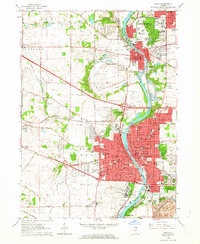 1962 Elgin1964 Print · USGSThe Fox River valley was undergoing rapid expansion in the early sixties as new highways met historic rail lines. Researchers can trace the footprints of institutional landmarks like Elgin State Hospital or locate family plots in Bluff City Cemetery.4 unique versions available
 - 1962 Map of Elgin, 1965 Print
 1962 Elgin1965 Print · USGSThe Fox River valley and the expanding Chicago suburbs are captured here in the early sixties. Genealogists and local historians can trace legacy sites like Washington Church Cemetery, the Elgin Academy, and the State Hospital Cemetery.
 - 1963 Map of Rockford
 1963 Rockford1963 Print · USGSThe mid-century industrial corridor along the Rock River is shown here during a period of rapid post-war growth. Researchers can trace the extensive rail lines of the Chicago and North Western or locate local landmarks like the Rockford Ordnance Depot and Holy Hill.
 - 1981 Map of Elgin
 1981 Elgin1981 Print · USGSNorthern Illinois and southern Wisconsin are shown in the early eighties as suburban growth meets glacial terrain. Trace the paths of the Milwaukee Road through Harvard or explore the wetlands of Volo Bog State Natural Area.
 - 1992 Map of Elgin
 1992 Elgin1992 Print · USGSElgin and the Fox River valley settlements are shown during a period of rapid growth in the early nineties. Researchers can trace the layout of the Elgin State Hospital, locate old family plots in Bluff City Cem, and follow the Chicago and North Western rail line.
 - 1998 Map of Elgin, 2002 Print
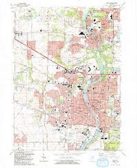
 1998 Elgin2002 Print · USGSKane County suburban development is in full view during the late nineties as the region balances rapid growth with vast forest preserves. Genealogists and local historians can trace legacy landmarks like Bluff City Cemetery, Elgin State Hospital, and the rail corridor of the Chicago and North Western.
 - 2012 Map of Elgin, 2012 Print
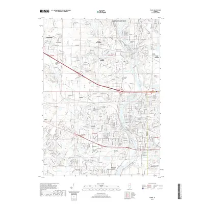
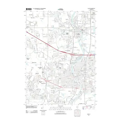 2012 Elgin2012 Print · USGSCovers Binnie Woods, including Elgin, Bartlett, and other nearby areas
 - 2015 Map of Elgin, 2015 Print
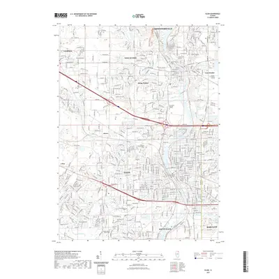
 2015 Elgin2015 Print · USGSCovers Binnie Woods, including Elgin, Bartlett, and other nearby areas
 - 2018 Map of Elgin, 2018 Print
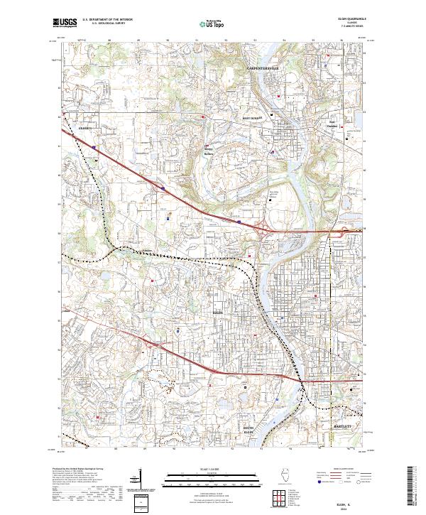
 2018 Elgin2018 Print · USGSCovers Binnie Woods, including Elgin, Bartlett, and other nearby areas
 - 2021 Map of Elgin, 2021 Print
 2021 Elgin2021 Print · USGSCovers Binnie Woods, including Elgin, Bartlett, and other nearby areas
 - 2024 Map of Elgin, 2024 Print
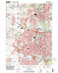
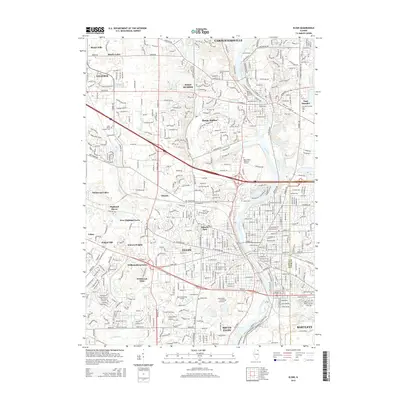
 2024 Elgin2024 Print · USGSKane and Cook counties are mapped in detail during this era of suburban density and river-valley growth. Genealogists can locate several local burial grounds such as Bluff City Cem and Saint Marys Cem or trace the Metra rail corridor.
End of results
Showing maps 1-16 of 16
Top cities near Binnie Woods
- Elgin historical maps
- Schaumburg historical maps
- Wayne historical maps
- Hoffman Estates historical maps
- Crystal Lake historical maps
- Bartlett historical maps
See more
Frequently asked questions
- What are the different types of historical maps available for Binnie Woods?
- What is the oldest map of Binnie Woods?
- Where can I purchase historical maps of Binnie Woods for my home or office?
- Where can I download high-res historical maps of Binnie Woods?
- Are there historical topographic maps available for Binnie Woods?
- Is there historical aerial imagery available for Binnie Woods?
- Where are historical maps of Binnie Woods sourced from?