2000s (21st Century) Maps of Hampshire Township, Illinois
Explore 20 historic maps of Hampshire Township from the 2000s (21st Century). These maps offer a rare glimpse into what life looked like during the 2000s — showing old roads, neighborhoods, homes, and landmarks that have changed or disappeared over time.
Whether you're researching your family's past, planning a metal detecting trip, or studying how Hampshire Township's landscape evolved across the 2000s, these high-resolution maps are a powerful tool for exploring the history of this region.
- Focus on a specific era: All maps on this page are from the 2000s, giving you a focused view of this time period.
- See what’s changed: Compare century-old streets, trails, and buildings to today's modern landscape using overlays and satellite layers.
- Research with precision: Use these maps for genealogy, historical research, land use analysis, or educational projects.
- View, download, or print: Maps are fully viewable online in high resolution, and can be downloaded or printed for your own records.
Start exploring Hampshire Township's history through authentic maps from the 2000s. This is your window into the past.
Hampshire Township, IL maps
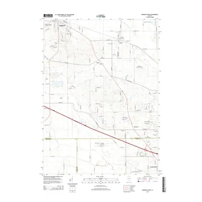
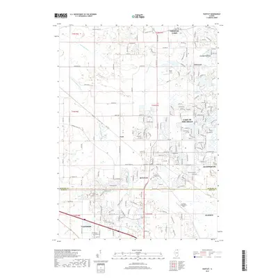
(20)- 2012 Map of Marengo South, 2012 Print
 2012 Marengo South2012 Print · USGSCovers Hampshire Township, including Hampshire, Coral, and other nearby areas
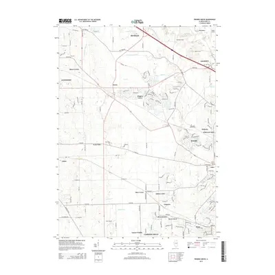
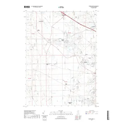
 - 2012 Map of Pingree Grove, 2012 Print
 2012 Pingree Grove2012 Print · USGSCovers Hampshire Township, including Elgin, Rutland Township, and other nearby areas
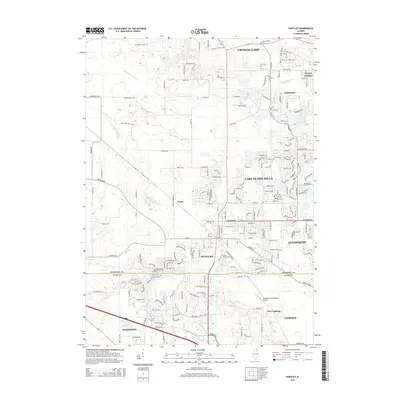
 - 2012 Map of Huntley, 2012 Print
 2012 Huntley2012 Print · USGSCovers Hampshire Township, including Crystal Lake, Algonquin, and other nearby areas
 - 2012 Map of Hampshire, 2012 Print
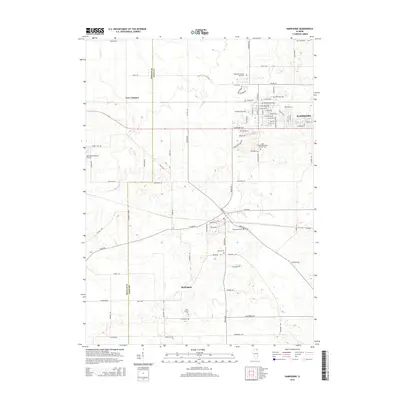
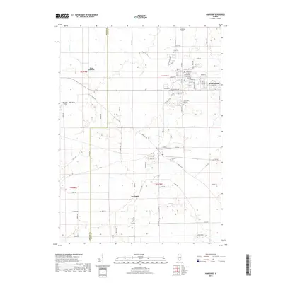
 2012 Hampshire2012 Print · USGSCovers Hampshire Township, including Hampshire, Burlington, and other nearby areas
 - 2015 Map of Hampshire, 2015 Print
 2015 Hampshire2015 Print · USGSCovers Hampshire Township, including Hampshire, Burlington, and other nearby areas
 - 2015 Map of Pingree Grove, 2015 Print
 2015 Pingree Grove2015 Print · USGSCovers Hampshire Township, including Elgin, Rutland Township, and other nearby areas
 - 2015 Map of Marengo South, 2015 Print
 2015 Marengo South2015 Print · USGSCovers Hampshire Township, including Hampshire, Coral, and other nearby areas
 - 2015 Map of Huntley, 2015 Print
 2015 Huntley2015 Print · USGSCovers Hampshire Township, including Crystal Lake, Algonquin, and other nearby areas
 - 2018 Map of Hampshire, 2018 Print
 2018 Hampshire2018 Print · USGSCovers Hampshire Township, including Hampshire, Burlington, and other nearby areas
 - 2018 Map of Huntley, 2018 Print
 2018 Huntley2018 Print · USGSCovers Hampshire Township, including Crystal Lake, Algonquin, and other nearby areas
 - 2018 Map of Marengo South, 2018 Print
 2018 Marengo South2018 Print · USGSCovers Hampshire Township, including Hampshire, Coral, and other nearby areas
 - 2018 Map of Pingree Grove, 2018 Print
 2018 Pingree Grove2018 Print · USGSCovers Hampshire Township, including Elgin, Rutland Township, and other nearby areas
 - 2021 Map of Pingree Grove, 2021 Print
 2021 Pingree Grove2021 Print · USGSCovers Hampshire Township, including Elgin, Rutland Township, and other nearby areas
 - 2021 Map of Marengo South, 2021 Print
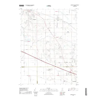
 2021 Marengo South2021 Print · USGSCovers Hampshire Township, including Hampshire, Coral, and other nearby areas
 - 2021 Map of Huntley, 2021 Print
 2021 Huntley2021 Print · USGSCovers Hampshire Township, including Crystal Lake, Algonquin, and other nearby areas
 - 2021 Map of Hampshire, 2021 Print
 2021 Hampshire2021 Print · USGSCovers Hampshire Township, including Hampshire, Burlington, and other nearby areas
 - 2024 Map of Huntley, 2024 Print
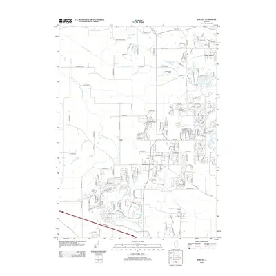
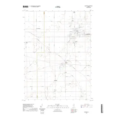
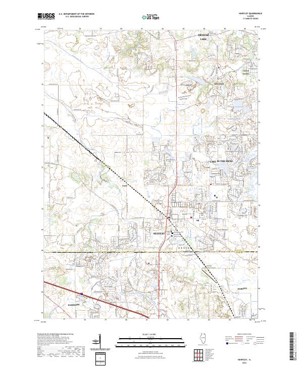 2024 Huntley2024 Print · USGSModern development meets the historic river valleys of McHenry and Kane Counties in this recent survey. Local researchers can trace modern property lines alongside long-standing landmarks like Mount Thabor Cem and the Landings Condominium-Airport.
 - 2024 Map of Hampshire, 2024 Print
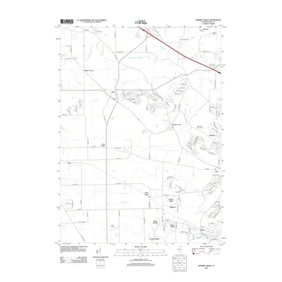
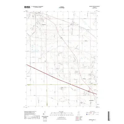
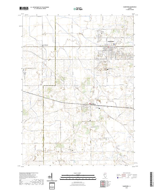 2024 Hampshire2024 Print · USGSThe northern Illinois prairie in the early twenty-first century is captured here as residential growth expands near Hampshire and Burlington. Genealogists and historians can trace family locations through several burial grounds, including Burlington Union Cem and Ward Family Cem.
 - 2024 Map of Pingree Grove, 2024 Print
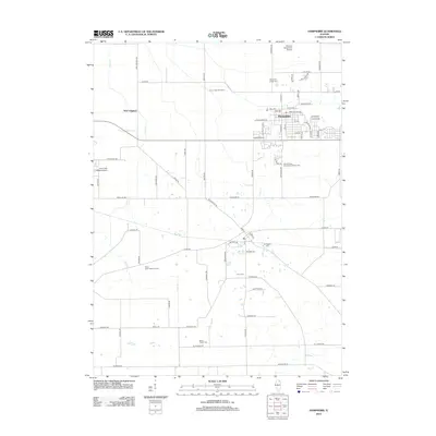
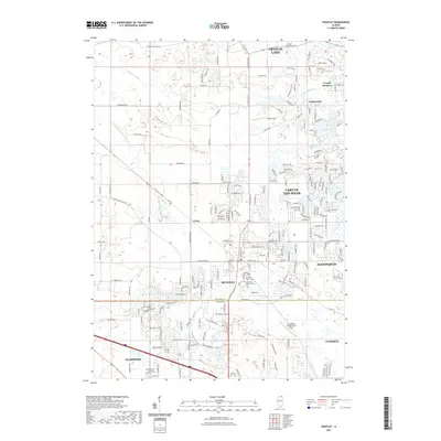
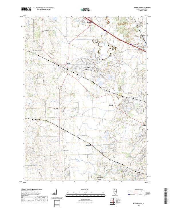 2024 Pingree Grove2024 Print · USGSKane County's evolving landscape is captured here in the mid-2020s, showcasing the expansion of Pingree Grove alongside longstanding rural communities. Researchers can locate family landmarks like Doty Cem, Olson Airport, and the historic crossroads of Plato Center.
 - 2024 Map of Marengo South, 2024 Print
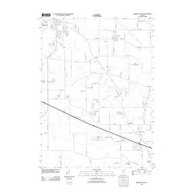
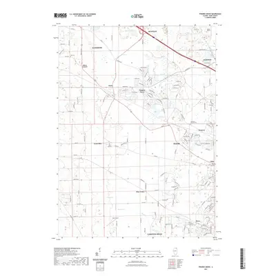
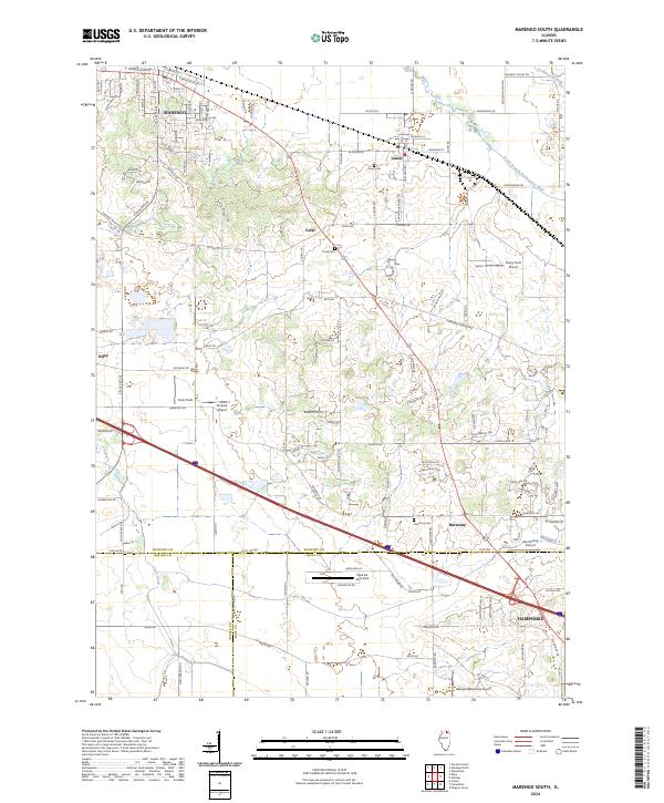 2024 Marengo South2024 Print · USGSMcHenry and Kane County agriculture and private aviation intersect in this recent survey of the Illinois prairie. Researchers can trace rural lineages through the Union Cem and Harmony Cem or locate private airfields like Casa De Aero Park and Ferris Field.
End of results
Showing maps 1-20 of 20
Top cities near Hampshire Township
- Elgin historical maps
- Wayne historical maps
- DeKalb historical maps
- Crystal Lake historical maps
- Carpentersville historical maps
- St. Charles historical maps
See more
Top neighborhoods of Hampshire Township
- Oakshire Estates historical maps
- The Landmark historical maps
- Allens Corners historical maps
- Brier Pines historical maps
- Brier Pines II historical maps
- Hampshire historical maps
Frequently asked questions
- What are the different types of historical maps available for Hampshire Township?
- What is the oldest map of Hampshire Township?
- Where can I purchase historical maps of Hampshire Township for my home or office?
- Where can I download high-res historical maps of Hampshire Township?
- Are there historical topographic maps available for Hampshire Township?
- Is there historical aerial imagery available for Hampshire Township?
- Where are historical maps of Hampshire Township sourced from?