2000s (21st Century) Maps of Lakewood Springs, Plano
Explore 10 historic maps of Lakewood Springs from the 2000s (21st Century). These maps offer a rare glimpse into what life looked like during the 2000s — showing old roads, neighborhoods, homes, and landmarks that have changed or disappeared over time.
Whether you're researching your family's past, planning a metal detecting trip, or studying how Lakewood Springs's landscape evolved across the 2000s, these high-resolution maps are a powerful tool for exploring the history of this region.
- Focus on a specific era: All maps on this page are from the 2000s, giving you a focused view of this time period.
- See what’s changed: Compare century-old streets, trails, and buildings to today's modern landscape using overlays and satellite layers.
- Research with precision: Use these maps for genealogy, historical research, land use analysis, or educational projects.
- View, download, or print: Maps are fully viewable online in high resolution, and can be downloaded or printed for your own records.
Start exploring Lakewood Springs's history through authentic maps from the 2000s. This is your window into the past.
Lakewood Springs, Plano maps
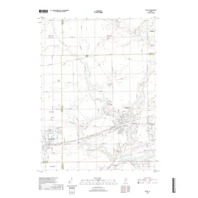
(10)- 2012 Map of Plano, 2012 Print
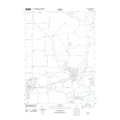 2012 Plano2012 Print · USGSCovers Lakewood Springs, including Plano, Sandwich, and other nearby areas
 - 2012 Map of Yorkville, 2012 Print
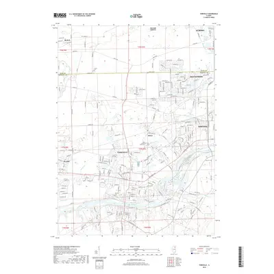
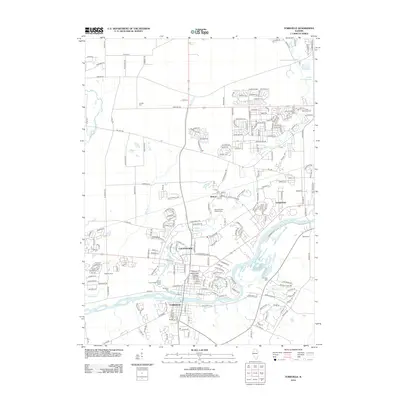 2012 Yorkville2012 Print · USGSCovers Lakewood Springs, including Aurora, Oswego, and other nearby areas
 - 2015 Map of Yorkville, 2015 Print
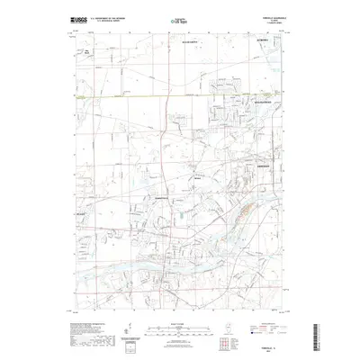
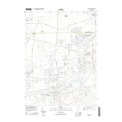 2015 Yorkville2015 Print · USGSCovers Lakewood Springs, including Aurora, Oswego, and other nearby areas
 - 2015 Map of Plano, 2015 Print
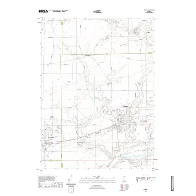
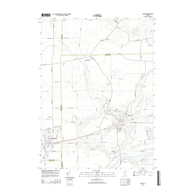 2015 Plano2015 Print · USGSCovers Lakewood Springs, including Plano, Sandwich, and other nearby areas
 - 2018 Map of Plano, 2018 Print
 2018 Plano2018 Print · USGSCovers Lakewood Springs, including Plano, Sandwich, and other nearby areas
 - 2018 Map of Yorkville, 2018 Print
 2018 Yorkville2018 Print · USGSCovers Lakewood Springs, including Aurora, Oswego, and other nearby areas
 - 2021 Map of Plano, 2021 Print
 2021 Plano2021 Print · USGSCovers Lakewood Springs, including Plano, Sandwich, and other nearby areas
 - 2021 Map of Yorkville, 2021 Print
 2021 Yorkville2021 Print · USGSCovers Lakewood Springs, including Aurora, Oswego, and other nearby areas
 - 2024 Map of Yorkville, 2024 Print
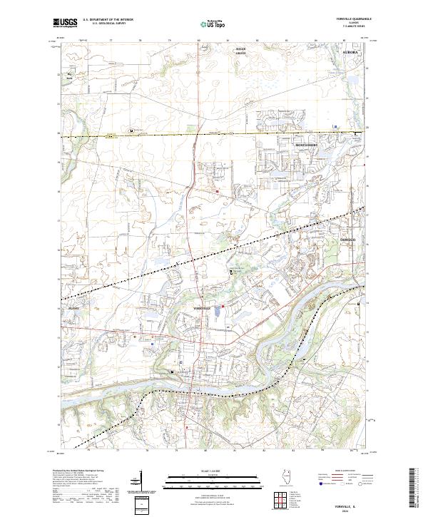 2024 Yorkville2024 Print · USGSKendall County enters a new era of suburban expansion while maintaining its river-valley roots in this recent survey. Researchers can trace the development of Yorkville and Oswego or locate historic sites like the Kendall County Courthouse and Jericho Cem.
 - 2024 Map of Plano, 2024 Print
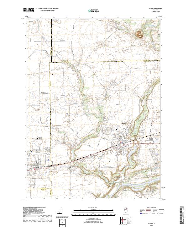 2024 Plano2024 Print · USGSThe Fox River Valley in the mid-2020s shows a landscape where historic cemeteries and local education hubs like Waubonsee Community College coexist. Genealogists can locate family sites at Little Rock Township Cem and Big Rock Welsh Cem near the banks of Big Rock Creek.
End of results
Showing maps 1-10 of 10
Frequently asked questions
- What are the different types of historical maps available for Lakewood Springs?
- What is the oldest map of Lakewood Springs?
- Where can I purchase historical maps of Lakewood Springs for my home or office?
- Where can I download high-res historical maps of Lakewood Springs?
- Are there historical topographic maps available for Lakewood Springs?
- Is there historical aerial imagery available for Lakewood Springs?
- Where are historical maps of Lakewood Springs sourced from?