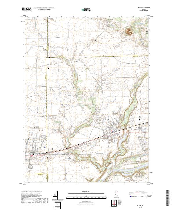
2024 Map of Plano
USGS Topo · Published 2024About this map
The Fox River corridor in Kendall County serves as the southern anchor for this landscape, where the growing communities of Plano and Sandwich meet at the DeKalb County line. This modern topographic record details a region defined by its waterway network, notably the winding paths of Little Rock Creek and Big Rock Creek. Local genealogy and history are well-preserved through several established burial grounds, including the Little Rock Township Cem, Pratt's Oak Lawn Cem, and the Big Rock Welsh Cem to the north. The area's infrastructure reflects both its agricultural roots and modern educational reach, featuring the Waubonsee Community College - Plano Campus and the Gord Airport. Significant landmarks like Maramech Hill and Sandy Bluff stand out amidst a grid of county highways and the active BNSF Railway, which continues to shape the transit patterns of these Fox River Valley towns.
Find a feature on this map
155 named features on this map. Tap any name to fly to it.
Don’t see what you’re looking for? This feature index may not catch every label — zoom into the map to look around manually.
Map Details
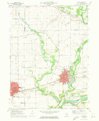
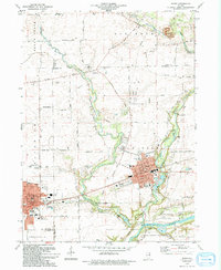
Editions of this 2024 Plano Map
This is the sole edition of this map. No revisions or reprints were ever made.
Historical Maps of Lakewood Springs Through Time
Featured Locations
- Sandwich, IL
- Little Rock Township, IL
- Big Rock Township, IL
- Plano, Little Rock Township
- Big Rock, Big Rock Township