2000s (21st Century) Maps of Mundelein, Illinois
Explore 21 historic maps of Mundelein from the 2000s (21st Century). These maps offer a rare glimpse into what life looked like during the 2000s — showing old roads, neighborhoods, homes, and landmarks that have changed or disappeared over time.
Whether you're researching your family's past, planning a metal detecting trip, or studying how Mundelein's landscape evolved across the 2000s, these high-resolution maps are a powerful tool for exploring the history of this region.
- Focus on a specific era: All maps on this page are from the 2000s, giving you a focused view of this time period.
- See what’s changed: Compare century-old streets, trails, and buildings to today's modern landscape using overlays and satellite layers.
- Research with precision: Use these maps for genealogy, historical research, land use analysis, or educational projects.
- View, download, or print: Maps are fully viewable online in high resolution, and can be downloaded or printed for your own records.
Start exploring Mundelein's history through authentic maps from the 2000s. This is your window into the past.
Mundelein, IL maps
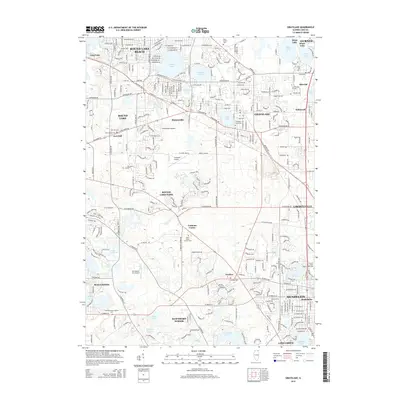
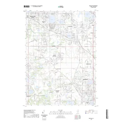
(21)- 2012 Map of Grayslake, 2012 Print
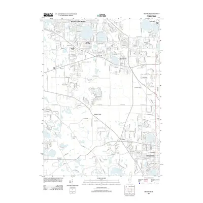 2012 Grayslake2012 Print · USGSCovers Mundelein, including Gurnee, Round Lake Beach, and other nearby areas
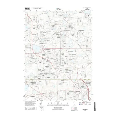
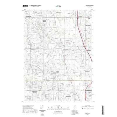
 - 2012 Map of Lake Zurich, 2012 Print
 2012 Lake Zurich2012 Print · USGSCovers Mundelein, including Arlington Heights, Palatine, and other nearby areas
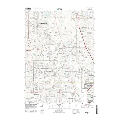
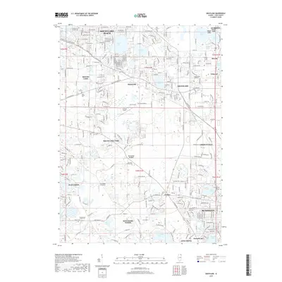
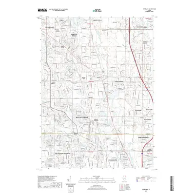
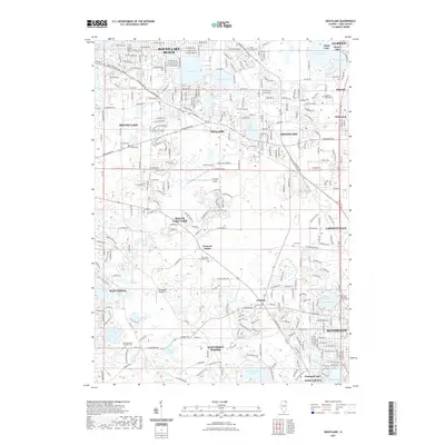
 - 2012 Map of Wheeling, 2012 Print
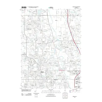 2012 Wheeling2012 Print · USGSCovers Mundelein, including Arlington Heights, Buffalo Grove, and other nearby areas
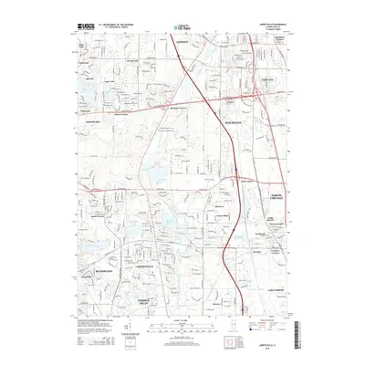
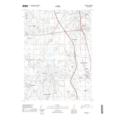
 - 2012 Map of Libertyville, 2012 Print
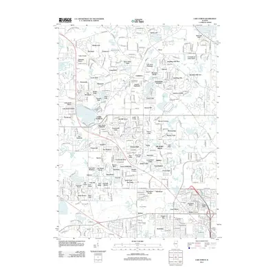
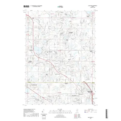
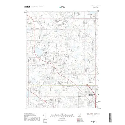
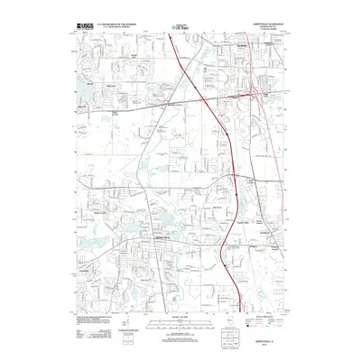 2012 Libertyville2012 Print · USGSCovers Mundelein, including Waukegan, North Chicago, and other nearby areas
 - 2015 Map of Libertyville, 2015 Print
 2015 Libertyville2015 Print · USGSCovers Mundelein, including Waukegan, North Chicago, and other nearby areas
 - 2015 Map of Lake Zurich, 2015 Print
 2015 Lake Zurich2015 Print · USGSCovers Mundelein, including Arlington Heights, Palatine, and other nearby areas
 - 2015 Map of Grayslake, 2015 Print
 2015 Grayslake2015 Print · USGSCovers Mundelein, including Gurnee, Round Lake Beach, and other nearby areas
 - 2015 Map of Wheeling, 2015 Print
 2015 Wheeling2015 Print · USGSCovers Mundelein, including Arlington Heights, Buffalo Grove, and other nearby areas
 - 2018 Map of Lake Zurich, 2018 Print
 2018 Lake Zurich2018 Print · USGSCovers Mundelein, including Arlington Heights, Palatine, and other nearby areas
 - 2018 Map of Grayslake, 2018 Print
 2018 Grayslake2018 Print · USGSCovers Mundelein, including Gurnee, Round Lake Beach, and other nearby areas
 - 2018 Map of Libertyville, 2018 Print
 2018 Libertyville2018 Print · USGSCovers Mundelein, including Waukegan, North Chicago, and other nearby areas
 - 2018 Map of Wheeling, 2018 Print
 2018 Wheeling2018 Print · USGSCovers Mundelein, including Arlington Heights, Buffalo Grove, and other nearby areas
 - 2021 Map of Lake Zurich, 2021 Print
 2021 Lake Zurich2021 Print · USGSCovers Mundelein, including Arlington Heights, Palatine, and other nearby areas
 - 2021 Map of Grayslake, 2021 Print
 2021 Grayslake2021 Print · USGSCovers Mundelein, including Gurnee, Round Lake Beach, and other nearby areas
 - 2021 Map of Libertyville, 2021 Print
 2021 Libertyville2021 Print · USGSCovers Mundelein, including Waukegan, North Chicago, and other nearby areas
 - 2021 Map of Wheeling, 2021 Print
 2021 Wheeling2021 Print · USGSCovers Mundelein, including Arlington Heights, Buffalo Grove, and other nearby areas
 - 2023 Map of Grayslake, 2023 Print
 2023 Grayslake2023 Print · USGSCovers Mundelein, including Gurnee, Round Lake Beach, and other nearby areas
 - 2024 Map of Grayslake, 2024 Print
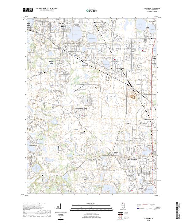 2024 Grayslake2024 Print · USGSCentral Lake County's evolving landscape of glacial lakes and growing communities is captured in this modern survey. Researchers can trace family history at Fort Hill Cem, Saint Mary Catholic Cem, or the College of Lake County.
 - 2024 Map of Lake Zurich, 2024 Print
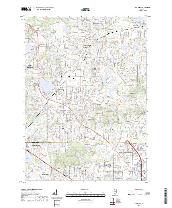 2024 Lake Zurich2024 Print · USGSThe Lake County suburbs come into sharp focus in this detailed topographic record of the lakefront communities. Genealogists and local researchers can pinpoint family plots and historic boundaries at Fairfield Cem, Quentin Corners, and Staples Corner.
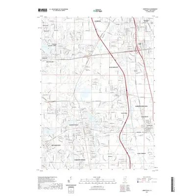
 - 2024 Map of Libertyville, 2024 Print
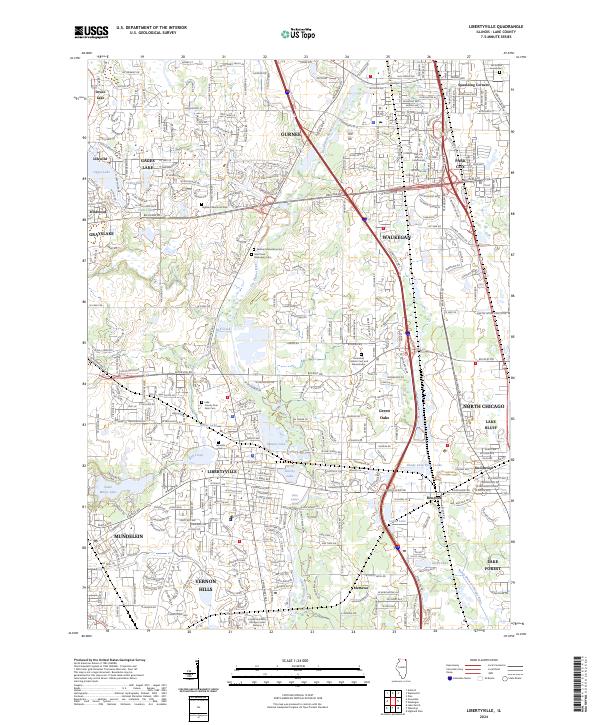 2024 Libertyville2024 Print · USGSLake County at the peak of its modern development reveals a complex landscape of historic monasteries and dense suburban growth. Genealogists can locate several memorial sites including Highland Memorial Park and the Am Echod Jewish Cem.
 - 2024 Map of Wheeling, 2024 Print
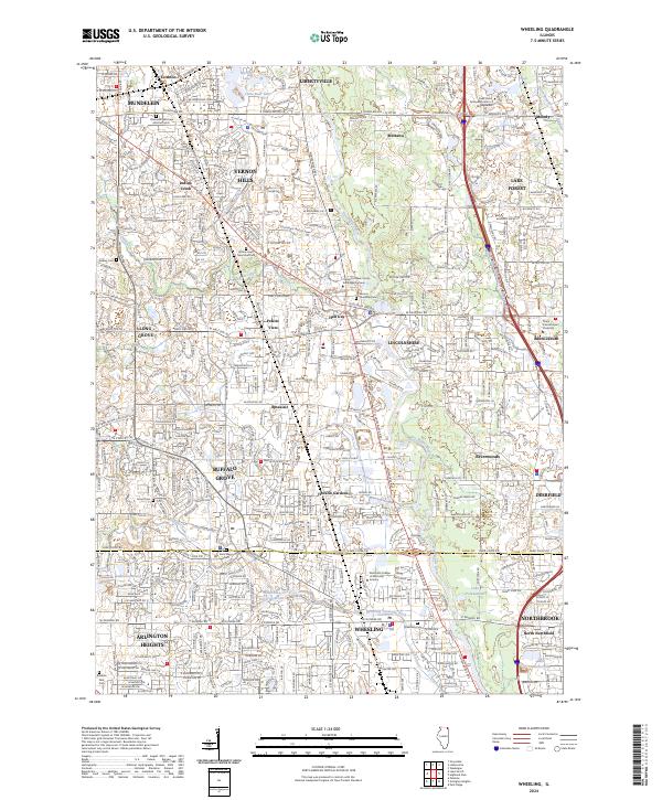 2024 Wheeling2024 Print · USGSNorthern Cook and Lake County communities are shown here in a detailed modern view of their suburban landscape. Researchers can locate family sites and landmarks including Saint Marys Cem, Wheeling Cem, and the area of Shermerville.
End of results
Showing maps 1-21 of 21
Top cities near Mundelein
- Elgin historical maps
- Waukegan historical maps
- Schaumburg historical maps
- Arlington Heights historical maps
- Palatine historical maps
- Skokie historical maps
See more
Top neighborhoods of Mundelein
Frequently asked questions
- What are the different types of historical maps available for Mundelein?
- What is the oldest map of Mundelein?
- Where can I purchase historical maps of Mundelein for my home or office?
- Where can I download high-res historical maps of Mundelein?
- Are there historical topographic maps available for Mundelein?
- Is there historical aerial imagery available for Mundelein?
- Where are historical maps of Mundelein sourced from?