Old Maps of Streator, Illinois for Academic Research
Study the evolution of Streator with 18 high-resolution historic maps. Whether you're teaching, researching, or modeling changes in land use, these maps provide essential visual documentation of urban, environmental, and geographic change.
- Analyze long-term change: Track patterns in development, transportation, and natural features.
- Ideal for environmental or urban studies: Support academic projects with primary historical map data.
- Use in the classroom or lab: Educators and researchers rely on these maps to bring historical context to life.
These maps are a powerful tool for teaching, research, and visualizing how Streator has changed over the decades.
Streator, IL maps
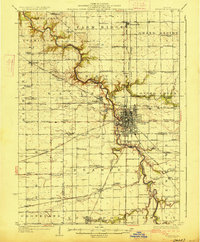
(18)- 1925 Map of Streator, 1964 Print
 1925 Streator1964 Print · USGSThe industrial and rail hub of LaSalle and Livingston counties is captured here in the mid-twenties, centered on the Streator river valley. Genealogists can trace rural family life through dozens of named landmarks like Patterson School, St Marys Church, and Moons Point Cemetery.2 unique versions available
 - 1927 Map of Streator
 1927 Streator1927 Print · USGSLaSalle and Livingston Counties appear here during the mid-twenties, when a massive web of railroads supported the bustling hub of Streator. Genealogists and local historians can locate dozens of country schools and churches, from Paddy Ridge School to St Marys Church.2 unique versions available
 - 1958 Map of Aurora, 1969 Print
 1958 Aurora1969 Print · USGSNorthern Illinois in the late fifties shows a landscape of powerful river industry and expanding transport corridors. Genealogists and historians can trace the development of Aurora and Joliet or locate sites like the Elwood Ordnance Plant and Starved Rock.3 unique versions available
 - 1961 Map of Aurora
 1961 Aurora1961 Print · USGSNorthern Illinois at the height of the post-war era reveals a landscape of massive industrial works and thriving river towns. Genealogists and historians can trace the paths of the Lincoln Highway or locate long-standing landmarks like the Green River Ordnance Plant and Starved Rock State Park.
 - 1983 Map of Streator North, 1984 Print
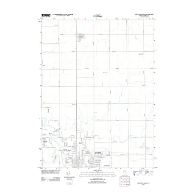
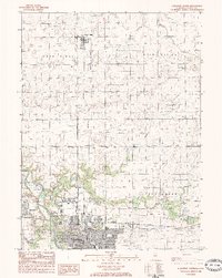 1983 Streator North1984 Print · USGSLa Salle County at the start of the eighties shows a landscape of rail-driven industry and rural townships. Researchers can trace the Atchison Topeka and Sante Fe tracks through STREATOR or locate Grand Rapids Cem and Marilla Park.
 - 1983 Map of Streator South, 1984 Print
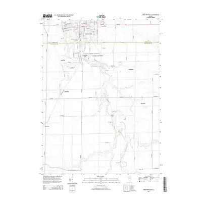
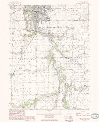 1983 Streator South1984 Print · USGSThe river bluffs and coal country south of Streator are captured here in the late seventies. Genealogists can locate several rural burial grounds including Defenbaugh Cem and Campbell Cem, along with settlements like Ancona and Manville.
 - 1985 Map of Ottawa
 1985 Ottawa1985 Print · USGSThe Illinois River valley in the mid-1980s shows a landscape balancing river commerce with sprawling energy and mining operations. Researchers can trace the layout of mining towns like Coal City or find family landmarks such as Oakwood Memorial Cem and Smiths Mound.
 - 1991 Map of Ottawa
 1991 Ottawa1991 Print · USGSNorth-central Illinois in the early nineties remains a vital corridor of river commerce and heavy rail. Genealogists and historians can trace the legacy of industrial mining near Morris or explore the river-bluff geography of Starved Rock State Park and Buffalo Rock.
 - 2012 Map of Streator South, 2012 Print
 2012 Streator South2012 Print · USGSCovers Streator, including Vermilion City, Reading, and other nearby areas
 - 2012 Map of Streator North, 2012 Print
 2012 Streator North2012 Print · USGSCovers Streator, including Grand Ridge, Kangley, and other nearby areas
 - 2015 Map of Streator South, 2015 Print
 2015 Streator South2015 Print · USGSCovers Streator, including Vermilion City, Reading, and other nearby areas
 - 2015 Map of Streator North, 2015 Print
 2015 Streator North2015 Print · USGSCovers Streator, including Grand Ridge, Kangley, and other nearby areas
 - 2018 Map of Streator South, 2018 Print
 2018 Streator South2018 Print · USGSCovers Streator, including Vermilion City, Reading, and other nearby areas
 - 2018 Map of Streator North, 2018 Print
 2018 Streator North2018 Print · USGSCovers Streator, including Grand Ridge, Kangley, and other nearby areas
 - 2021 Map of Streator South, 2021 Print
 2021 Streator South2021 Print · USGSCovers Streator, including Vermilion City, Reading, and other nearby areas
 - 2021 Map of Streator North, 2021 Print
 2021 Streator North2021 Print · USGSCovers Streator, including Grand Ridge, Kangley, and other nearby areas
 - 2024 Map of Streator South, 2024 Print
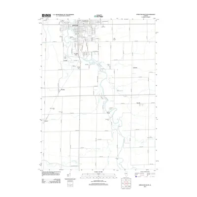
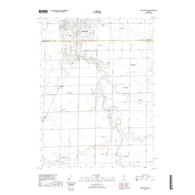
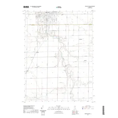
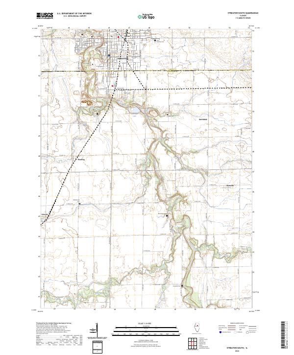 2024 Streator South2024 Print · USGSThe Vermilion River valley and the southern reaches of Streator are captured in this recent survey of the LaSalle and Livingston County line. Researchers can locate numerous family burial sites such as Moon Point Cem and Barrickman Cem or trace the BNSF Railway corridor through Ancona.
 - 2024 Map of Streator North, 2024 Print
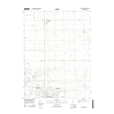
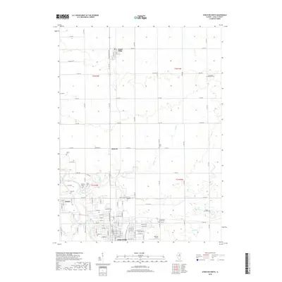
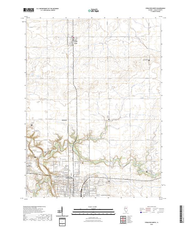 2024 Streator North2024 Print · USGSThe northern reaches of the STREATOR area in LaSalle County are shown here in recent years, documenting the intersection of the city with the rural Illinois prairie. Researchers can trace numerous local burial grounds such as Barnhart Cem, Mackey Cem, and Wolf Creek Cem.
End of results
Showing maps 1-18 of 18
Top cities near Streator
- Pontiac historical maps
- LaSalle historical maps
- Marseilles historical maps
- Oglesby historical maps
- Minonk historical maps
- Utica historical maps
See more
Top neighborhoods of Streator
Frequently asked questions
- What are the different types of historical maps available for Streator?
- What is the oldest map of Streator?
- Where can I purchase historical maps of Streator for my home or office?
- Where can I download high-res historical maps of Streator?
- Are there historical topographic maps available for Streator?
- Is there historical aerial imagery available for Streator?
- Where are historical maps of Streator sourced from?