Old Maps of Birds, Illinois for Hiking & Exploration
Hike through history with 12 historic maps of Birds. Explore old trails, ghost towns, and forgotten backroads — perfect for outdoor adventurers and local explorers.
- Rediscover forgotten places: Map out old mining camps, roads, and footpaths that no longer exist on modern maps.
- Layer with modern tools: Combine with LiDAR or satellite views to plan hikes through historical terrain.
- Made for exploration: Popular among hikers, overlanders, and local history lovers.
Use these maps to find adventure and explore the hidden past of Birds.
Birds, IL maps
(12)- 1917 Map of Birds
 1917 Birds1917 Print · USGSCrawford and Lawrence counties thrive along the Wabash River at the height of the rail era. Genealogists can trace family roots through dozens of local schools like Hazel Dell School and river landings such as Shaws Landing.2 unique versions available
 - 1942 Map of Birds, 1958 Print
 1942 Birds1958 Print · USGSThe Wabash River valley comes to life in this mid-century survey of the Illinois-Indiana borderlands. Genealogists can locate family lands near Oil Grove or trace ancestors through rural landmarks like Buncombe School and Brightlight Ferry.
 - 1956 Map of Vincennes, 1967 Print
 1956 Vincennes1967 Print · USGSSouthern Indiana and the Illinois borderlands are captured here in the mid-fifties, showing the region's dense network of river towns and rail lines. Researchers can trace historic river crossings along the Wabash River or locate landmarks like Wyandotte Cave and Lincoln State Park.4 unique versions available
 - 1957 Map of Vincennes
 1957 Vincennes1957 Print · USGSSouthwest Indiana and the Illinois borderlands come alive in the late 1950s, a period of heavy rail traffic and expanding state forests. Genealogists and historians can trace the riverfronts and rail lines of Vincennes, New Harmony, and the vast Crane Naval Ammunition Depot.
 - 1958 Map of Vincennes
 1958 Vincennes1958 Print · USGSSouthern Indiana and the Illinois borderlands are captured during a mid-century period of heavy rail traffic and military activity. Researchers can trace the sprawling bounds of the Crane Naval Ammunition Depot or locate historic settlements like New Harmony and French Lick.2 unique versions available
 - 1964 Map of Birds, 1965 Print
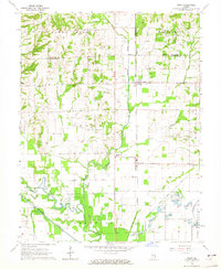 1964 Birds1965 Print · USGSThe rural landscape of Lawrence County in the mid-1960s reveals a network of railroad-aligned settlements and prairie farmsteads. Genealogists can trace family names through landmarks like Morris Cem, Riddleville, and the Brookside Sch along the New York Central line.
 - 1986 Map of Vincennes
 1986 Vincennes1986 Print · USGSThe Wabash River valley in the mid-1980s shows a landscape defined by deep-rooted river towns and heavy industry. Researchers can trace the legacy of regional rail lines like the Conrail system or locate landmarks such as Vincennes University and St Francisville Church.2 unique versions available
 - 2012 Map of Birds, 2012 Print
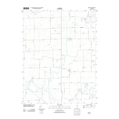 2012 Birds2012 Print · USGSEastern Illinois farm country and the bottomlands of the Embarras River are captured here in the early twenty-first century. Genealogists can locate numerous family burial grounds including Cotton Cem and Dollahan Cem near the village of Pinkstaff.
 - 2015 Map of Birds, 2015 Print
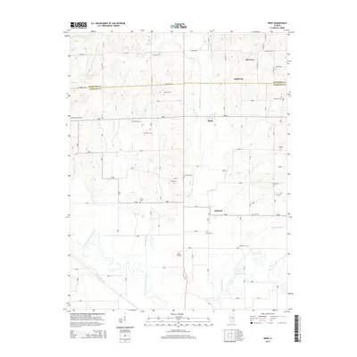 2015 Birds2015 Print · USGSThe Illinois borderlands of Lawrence and Crawford counties are captured here in the mid-2010s. Genealogists can trace family heritage across a landscape dotted with numerous burial sites like Nuttle Cem, Dollahan Cem, and Portee Cem.
 - 2018 Map of Birds, 2018 Print
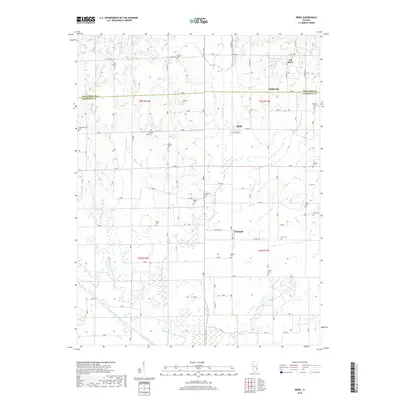 2018 Birds2018 Print · USGSLawrence County and the Crawford County border are shown in detail as they appeared recently, capturing a rural Illinois landscape of small settlements and family farms. Genealogists can trace family names through over a dozen local burial sites, including Cotton Cem, Pollard Cem, and Dollahan Cem.
 - 2021 Map of Birds, 2021 Print
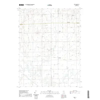 2021 Birds2021 Print · USGSSoutheast Illinois at the Crawford and Lawrence county line is captured here in recent detail, dominated by the winding Embarras River. Local historians can trace numerous rural burial sites like Nuttle Cem and Pollard Cem near the settlements of Birds and Pinkstaff.
 - 2024 Map of Birds, 2024 Print
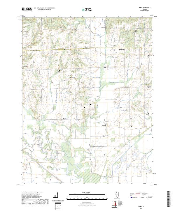 2024 Birds2024 Print · USGSSoutheastern Illinois farm country comes into focus in this contemporary survey of the border between Crawford and Lawrence counties. Genealogists can trace a wealth of family history through numerous burial sites like Nuttle Cem, Dollahan Cem, and Otterbein Cem near Birds.
End of results
Showing maps 1-12 of 12
Top cities near Birds
- Vincennes historical maps
- Robinson historical maps
- Lawrenceville historical maps
- Bridgeport historical maps
- Sumner historical maps
- Busseron historical maps
See more
Frequently asked questions
- What are the different types of historical maps available for Birds?
- What is the oldest map of Birds?
- Where can I purchase historical maps of Birds for my home or office?
- Where can I download high-res historical maps of Birds?
- Are there historical topographic maps available for Birds?
- Is there historical aerial imagery available for Birds?
- Where are historical maps of Birds sourced from?