2000s (21st Century) Maps of Alto Township, Illinois
Explore 20 historic maps of Alto Township from the 2000s (21st Century). These maps offer a rare glimpse into what life looked like during the 2000s — showing old roads, neighborhoods, homes, and landmarks that have changed or disappeared over time.
Whether you're researching your family's past, planning a metal detecting trip, or studying how Alto Township's landscape evolved across the 2000s, these high-resolution maps are a powerful tool for exploring the history of this region.
- Focus on a specific era: All maps on this page are from the 2000s, giving you a focused view of this time period.
- See what’s changed: Compare century-old streets, trails, and buildings to today's modern landscape using overlays and satellite layers.
- Research with precision: Use these maps for genealogy, historical research, land use analysis, or educational projects.
- View, download, or print: Maps are fully viewable online in high resolution, and can be downloaded or printed for your own records.
Start exploring Alto Township's history through authentic maps from the 2000s. This is your window into the past.
Alto Township, IL maps
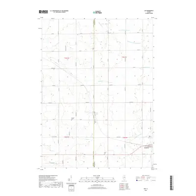
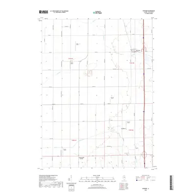
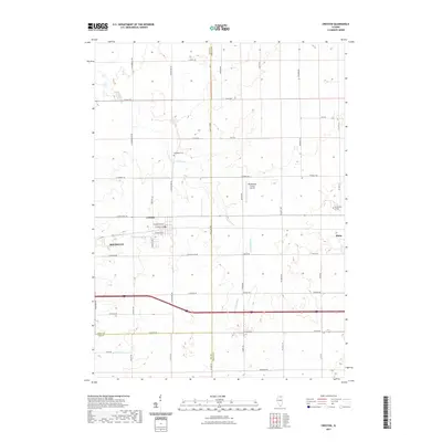
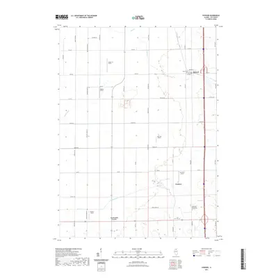
(20)- 2012 Map of Creston, 2012 Print
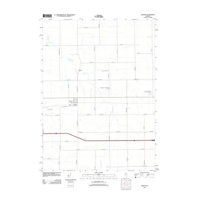 2012 Creston2012 Print · USGSCovers Alto Township, including Rochelle, Malta, and other nearby areas
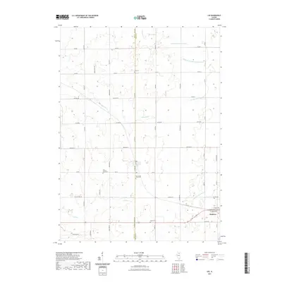
 - 2012 Map of Lee, 2012 Print
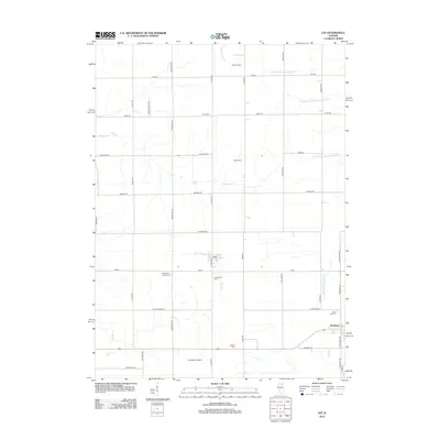 2012 Lee2012 Print · USGSCovers Alto Township, including Shabbona, Lee, and other nearby areas
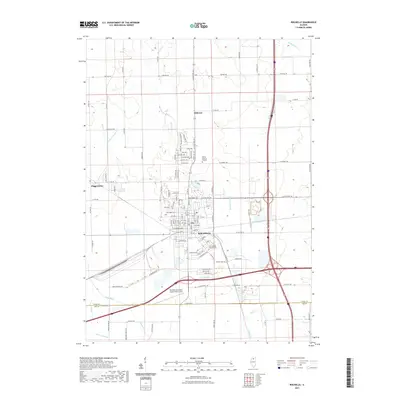
 - 2012 Map of Rochelle, 2012 Print
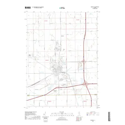
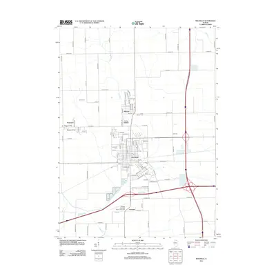 2012 Rochelle2012 Print · USGSCovers Alto Township, including Rochelle, Hillcrest, and other nearby areas
 - 2012 Map of Steward, 2012 Print
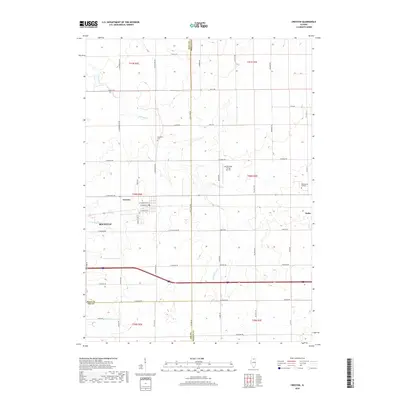
 2012 Steward2012 Print · USGSCovers Alto Township, including Steward, Reynolds Township, and other nearby areas
 - 2015 Map of Lee, 2015 Print
 2015 Lee2015 Print · USGSCovers Alto Township, including Shabbona, Lee, and other nearby areas
 - 2015 Map of Creston, 2015 Print
 2015 Creston2015 Print · USGSCovers Alto Township, including Rochelle, Malta, and other nearby areas
 - 2015 Map of Steward, 2015 Print
 2015 Steward2015 Print · USGSCovers Alto Township, including Steward, Reynolds Township, and other nearby areas
 - 2015 Map of Rochelle, 2015 Print
 2015 Rochelle2015 Print · USGSCovers Alto Township, including Rochelle, Hillcrest, and other nearby areas
 - 2018 Map of Lee, 2018 Print
 2018 Lee2018 Print · USGSCovers Alto Township, including Shabbona, Lee, and other nearby areas
 - 2018 Map of Creston, 2018 Print
 2018 Creston2018 Print · USGSCovers Alto Township, including Rochelle, Malta, and other nearby areas
 - 2018 Map of Rochelle, 2018 Print
 2018 Rochelle2018 Print · USGSCovers Alto Township, including Rochelle, Hillcrest, and other nearby areas
 - 2018 Map of Steward, 2018 Print
 2018 Steward2018 Print · USGSCovers Alto Township, including Steward, Reynolds Township, and other nearby areas
 - 2021 Map of Creston, 2021 Print
 2021 Creston2021 Print · USGSCovers Alto Township, including Rochelle, Malta, and other nearby areas
 - 2021 Map of Lee, 2021 Print
 2021 Lee2021 Print · USGSCovers Alto Township, including Shabbona, Lee, and other nearby areas
 - 2021 Map of Rochelle, 2021 Print
 2021 Rochelle2021 Print · USGSCovers Alto Township, including Rochelle, Hillcrest, and other nearby areas
 - 2021 Map of Steward, 2021 Print
 2021 Steward2021 Print · USGSCovers Alto Township, including Steward, Reynolds Township, and other nearby areas
 - 2024 Map of Lee, 2024 Print
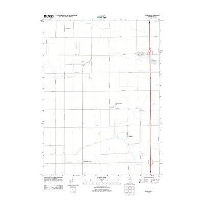
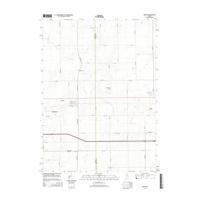
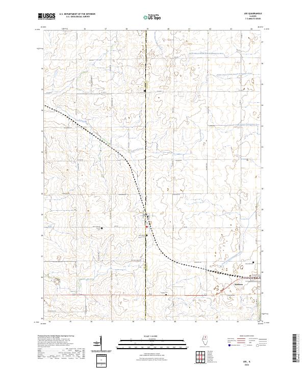 2024 Lee2024 Print · USGSThe rural borders of Lee and DeKalb Counties are captured here as they appear in the early 2020s. Researchers can locate family landmarks like English Cem, Union Cem, and the village of Lee situated along the county line.
 - 2024 Map of Steward, 2024 Print
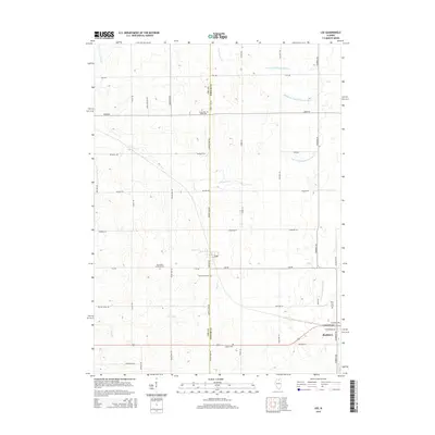
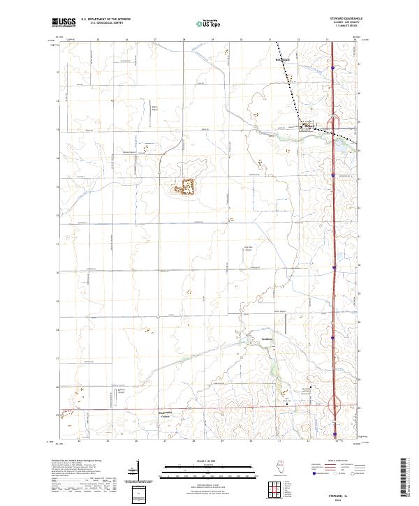 2024 Steward2024 Print · USGSThis Lee County landscape shows a classic Illinois agricultural grid integrated with a unique network of private airfields. Genealogists and local historians can trace the grounds of Steward, Scarboro, and the Saint Marys Twin Grove German Cem.
 - 2024 Map of Rochelle, 2024 Print
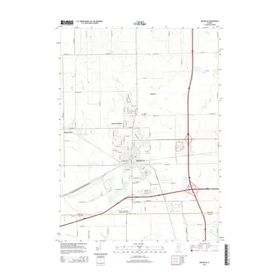
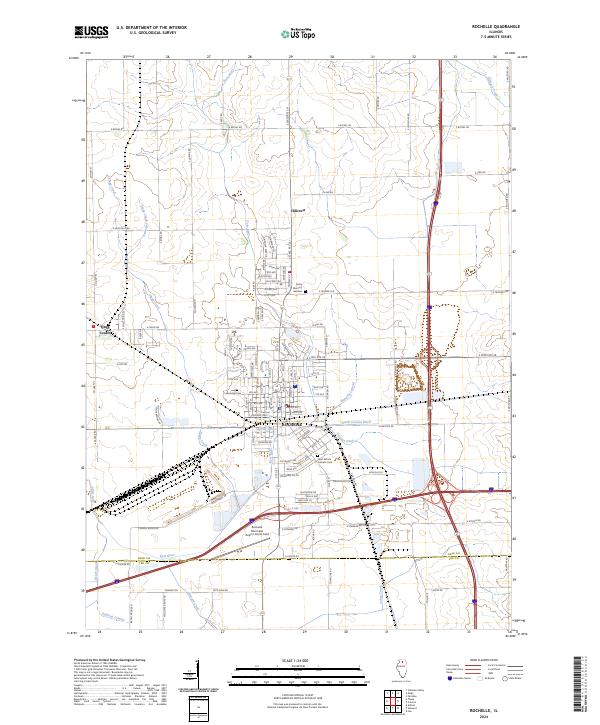 2024 Rochelle2024 Print · USGSThe northern Illinois prairie around Rochelle is captured here in a period of modern expansion and agricultural precision. Researchers can trace the layout of local landmarks like Lawnridge Cemetery, the Kyte River, and the Flagg Center settlement.
 - 2024 Map of Creston, 2024 Print
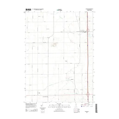
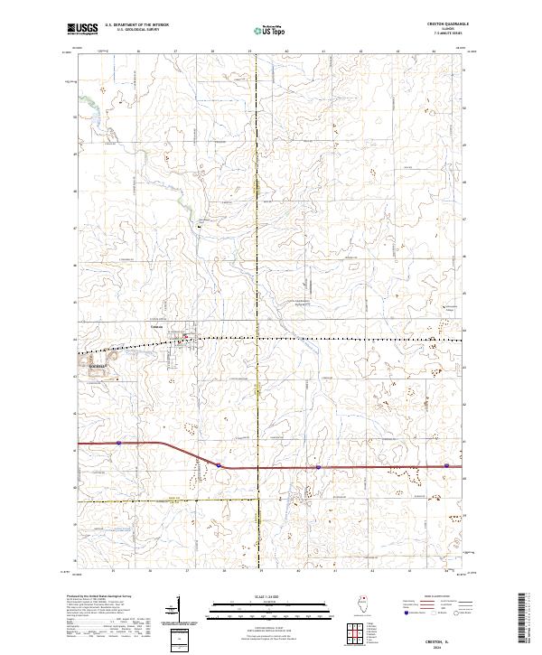 2024 Creston2024 Print · USGSCreston and the surrounding Illinois prairie are mapped here in the early twenty-first century, showing the village's core and outlying farmsteads. Trace local history at Woodlawn Cem, find the Kishwaukee College campus, and follow the flow of Killbuck Creek.
End of results
Showing maps 1-20 of 20
Top cities near Alto Township
- DeKalb historical maps
- Rochelle historical maps
- Waterman historical maps
- Hillcrest historical maps
- Ashton historical maps
- Malta historical maps
See more
Top neighborhoods of Alto Township
Frequently asked questions
- What are the different types of historical maps available for Alto Township?
- What is the oldest map of Alto Township?
- Where can I purchase historical maps of Alto Township for my home or office?
- Where can I download high-res historical maps of Alto Township?
- Are there historical topographic maps available for Alto Township?
- Is there historical aerial imagery available for Alto Township?
- Where are historical maps of Alto Township sourced from?