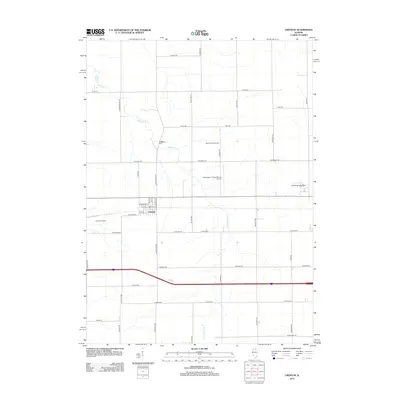
2012 Map of Creston
USGS Topo · Published 2012About this map
The village of Creston anchors this landscape of Ogle County, organized around a grid of residential streets including Cederholm St and W N St. This agricultural and educational corridor is defined by its institutions, notably the campus of Kishwaukee College to the east and the aviation facilities at Hendrickson Flying Service Airport. The rural character is punctuated by family-named landmarks and local sites like the Montavon Seed Farm and the historic Woodlawn Cem. Natural drainage is provided by the winding courses of Killbuck Cr and the E Br Killbuck Cr, which cut through the extensive network of township roads. The map also records the industrial presence of the Rochelle Landfill west of the village center, illustrating the modern land use patterns of the early 21st century.
Find a feature on this map
49 named features on this map. Tap any name to fly to it.
Don’t see what you’re looking for? This feature index may not catch every label — zoom into the map to look around manually.
Map Details
Editions of this 2012 Creston Map
This is the sole edition of this map. No revisions or reprints were ever made.
Other maps of this area

1917 · Kings
USGS Topo · 1:62,500

1918 · Kings
USGS Topo · 1:62,500

1918 · Kirkland
USGS Topo · 1:62,500

1934 · De Kalb
USGS Topo · 1:62,500

1937 · De Kalb
USGS Topo · 1:62,500

1952 · Rochelle
USGS Topo · 1:62,500

1954 · Rockford
USGS Topo · 1:250,000

1955 · Rockford
USGS Topo · 1:250,000

1958 · Aurora
USGS Topo · 1:250,000

1958 · Rockford
USGS Topo · 1:250,000