1934 Map of De Kalb
USGS Topo · Published 1965About this map
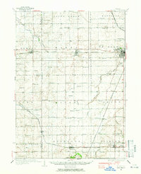
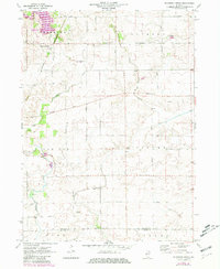
The city of De Kalb serves as the focal point of this mid-1930s survey, where the Chicago and Northwestern rail line and the Lincoln Highway intersect. The landscape is defined by the branching arms of the Kishwaukee River, including the Middle Branch and South Branch, which weave through a dense grid of township school districts. These rural centers, such as Toad Hollow Sch and Willow Center Sch, illustrate the era's localized educational structure before the consolidation of the mid-20th century.
Find a feature on this map
84 named features on this map. Tap any name to fly to it.
Don’t see what you’re looking for? This feature index may not catch every label — zoom into the map to look around manually.
Map Details
Editions of this 1934 De Kalb Map
This is the sole edition of this map. No revisions or reprints were ever made.
Historical Maps of DeKalb Through Time
15 maps found
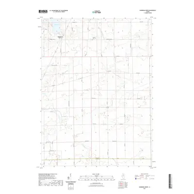
1934 De Kalb
DeKalb County, IL
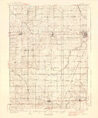
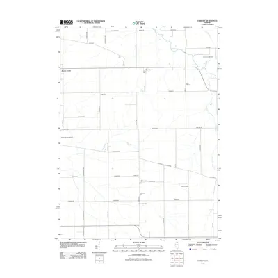
1937 De Kalb
DeKalb County, IL
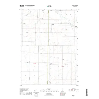
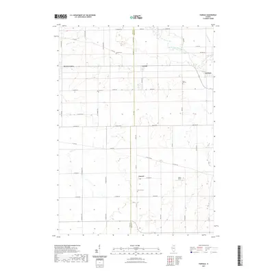
1968 Fairdale
DeKalb County, IL
1971 De Kalb
DeKalb County, IL
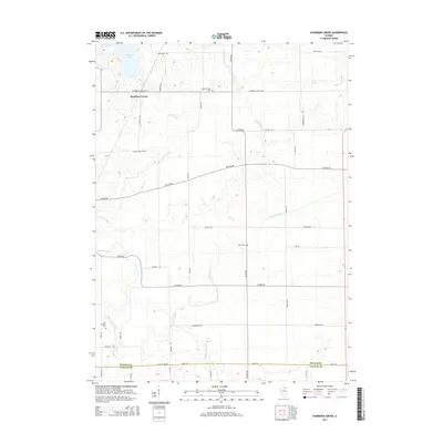
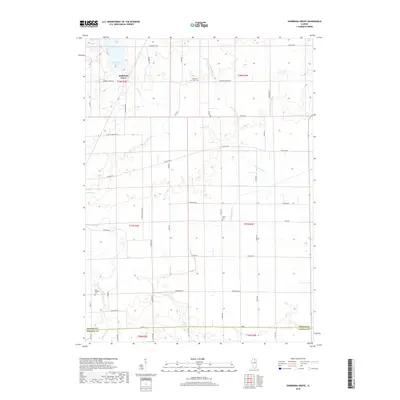
1971 Shabbona Grove
DeKalb County, IL
2012 Fairdale
DeKalb County, IL
2012 Shabbona Grove
DeKalb County, IL
2015 Fairdale
DeKalb County, IL
2015 Shabbona Grove
DeKalb County, IL
2018 Fairdale
DeKalb County, IL
2018 Shabbona Grove
DeKalb County, IL
2021 Fairdale
DeKalb County, IL
2021 Shabbona Grove
DeKalb County, IL
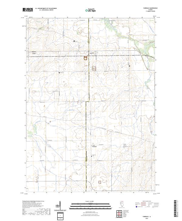
2024 Fairdale
DeKalb County, IL
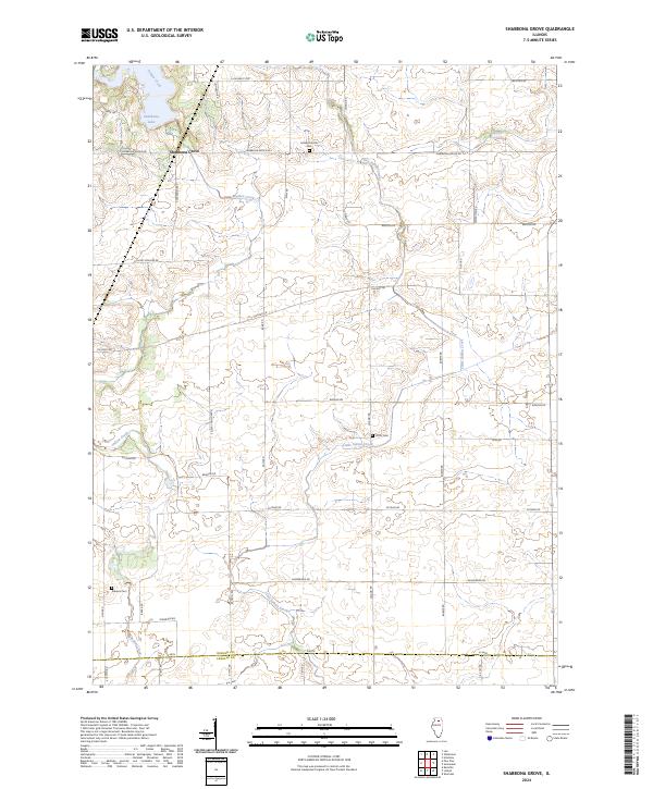
2024 Shabbona Grove
DeKalb County, IL
Featured Locations
- Rochelle, IL
- Waterman, Clinton Township
- Shabbona, Shabbona Township
- DeKalb, DeKalb Township
- Malta, Malta Township