
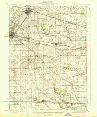
1937 Map of Sycamore
USGS Topo · Published 1937About this map
Sycamore and De Kalb anchor this 1930s landscape of DeKalb and Kane counties, where a dense network of rural schoolhouses and family cemeteries defines the social fabric of the Illinois prairie. The map reveals an agrarian society organized around water management and rail transport, evidenced by the intricate system of drainage canals like Union Ditch No. 30 and Virgil Ditch No. 3 that cross the townships. Major rail lines including the Chicago Milwaukee St Paul and Pacific and the Chicago and Northwestern converge at Cortland and Maple Park, illustrating the region's importance as a mid-century transportation hub.
Find a feature on this map
90 named features on this map. Tap any name to fly to it.
Don’t see what you’re looking for? This feature index may not catch every label — zoom into the map to look around manually.
Map Details
Editions of this 1937 Sycamore Map
2 editions found
Other maps of this area

1918 · Kirkland
USGS Topo · 1:62,500

1925 · Yorkville
USGS Topo · 1:62,500

1925 · Elgin
USGS Topo · 1:62,500

1932 · Geneva
USGS Topo · 1:62,500

1934 · De Kalb
USGS Topo · 1:62,500

1937 · De Kalb
USGS Topo · 1:62,500

1938 · Genoa
USGS Topo · 1:62,500

1940 · Elgin
USGS Topo · 1:62,500

1948 · Geneva
USGS Topo · 1:62,500

1948 · Sandwich
USGS Topo · 1:62,500