
1932 Map of Geneva
USGS Topo · Published 1932About this map
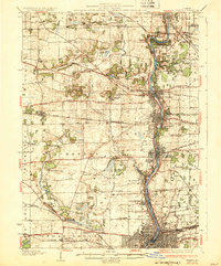
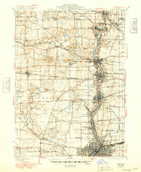
The Fox River corridor serves as the industrial and social spine of this 1932 landscape, connecting the growing municipalities of St Charles, Geneva, Batavia, and Aurora. This river valley is densely developed with institutional landmarks including the State School For Boys, the State School For Girls, and the Kane County Home. The era's heavy reliance on rail is evident in the convergence of the Chicago and Northwestern RR and the Chicago Aurora & Elgin RR, which facilitated commuter and freight movement across the county.
Find a feature on this map
78 named features on this map. Tap any name to fly to it.
Don’t see what you’re looking for? This feature index may not catch every label — zoom into the map to look around manually.
Map Details
Editions of this 1932 Geneva Map
3 editions found
Other maps of this area

1892 · Joliet
USGS Topo · 1:62,500

1908 · Wheaton
USGS Topo · 1:62,500

1923 · Barrington
USGS Topo · 1:62,500

1923 · Joliet
USGS Topo · 1:62,500

1925 · Yorkville
USGS Topo · 1:62,500

1925 · Elgin
USGS Topo · 1:62,500

1935 · Barrington
USGS Topo · 1:62,500

1937 · Sycamore
USGS Topo · 1:62,500

1938 · Genoa
USGS Topo · 1:62,500

1940 · Elgin
USGS Topo · 1:62,500