
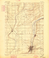
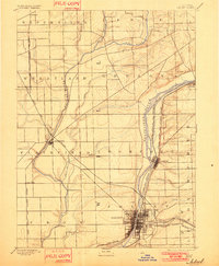
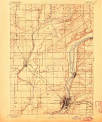
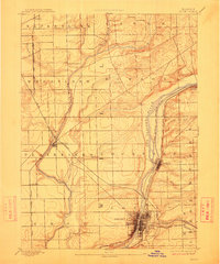
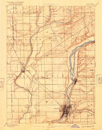
1892 Map of Joliet
USGS Topo · Published 1892About this map
Joliet serves as the industrial and transportation anchor in this 1890 survey, showing the city's dense gridiron street plan as it straddles the Desplaines River. This era captures the critical co-existence of the Illinois and Michigan Canal and a burgeoning network of steel, including the Elgin Joliet and Eastern Railway and the Michigan Central Railroad. The landscape transitions from the concentrated urban core of Lockport and Joliet into the expansive agricultural townships of Wheatland and Troy.
Find a feature on this map
38 named features on this map. Tap any name to fly to it.
Don’t see what you’re looking for? This feature index may not catch every label — zoom into the map to look around manually.
Map Details
Editions of this 1892 Joliet Map
6 editions found
Other maps of this area

1890 · Des Plaines
USGS Topo · 1:62,500

1891 · Riverside
USGS Topo · 1:62,500

1892 · Morris
USGS Topo · 1:62,500

1892 · Wilmington
USGS Topo · 1:62,500

1893 · Riverside
USGS Topo · 1:62,500

1894 · Des Plaines
USGS Topo · 1:62,500

1900 · Des Plaines
USGS Topo · 1:62,500

1900 · Riverside
USGS Topo · 1:62,500

1901 · Des Plaines
USGS Topo · 1:62,500

1901 · Riverside
USGS Topo · 1:62,500