
1901 Map of Riverside
USGS Topo · Published 1901About this map
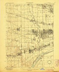
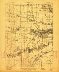
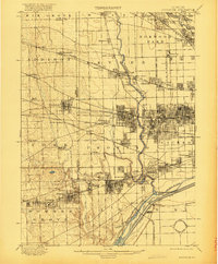
The Desplaines River carves a central path through this landscape, which was undergoing a massive industrial and urban transformation at the turn of the century. Large-scale engineering projects are evident in the Chicago Sanitary and Ship Canal and the Chicago Diversion Channel near Summit, while the Chicago Union Transfer Railroad Yards demonstrate the area's role as a burgeoning transportation hub. The map captures the dense grid expansion of the Chicago City Line pushing west into Cicero and Oak Park.
Find a feature on this map
87 named features on this map. Tap any name to fly to it.
Don’t see what you’re looking for? This feature index may not catch every label — zoom into the map to look around manually.
Map Details
Editions of this 1901 Riverside Map
4 editions found
Other maps of this area

1889 · Chicago
USGS Topo · 1:62,500

1890 · Des Plaines
USGS Topo · 1:62,500

1891 · Chicago
USGS Topo · 1:62,500

1891 · Riverside
USGS Topo · 1:62,500

1892 · Joliet
USGS Topo · 1:62,500

1892 · Calumet
USGS Topo · 1:62,500

1893 · Calumet
USGS Topo · 1:62,500

1893 · Riverside
USGS Topo · 1:62,500

1894 · Des Plaines
USGS Topo · 1:62,500

1899 · Evanston
USGS Topo · 1:62,500