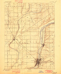
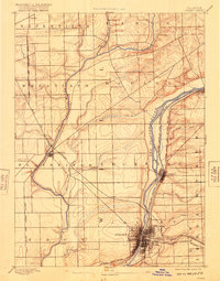
1892 Map of Joliet
USGS Topo · Published 1901About this map
The industrial and transit corridor of the Des Plaines River valley defines this late 19th-century landscape, where heavy infrastructure meets the agricultural expanse of Will County. At the heart of the map, the Illinois and Michigan Canal runs parallel to the river through Lockport and down to the growing city of Joliet, illustrating the vital water-link that fueled regional commerce. This era captures the peak density of competing rail lines, with corridors like the Elgin Joliet and Eastern Railway and the Chicago Rock Island and Pacific Railway carving paths through the prairie.
Find a feature on this map
38 named features on this map. Tap any name to fly to it.
Don’t see what you’re looking for? This feature index may not catch every label — zoom into the map to look around manually.
Map Details
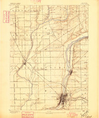
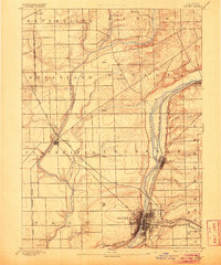
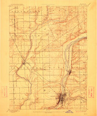
Editions of this 1892 Joliet Map
6 editions found
Other maps of this area

1890 · Des Plaines
USGS Topo · 1:62,500

1891 · Riverside
USGS Topo · 1:62,500

1892 · Morris
USGS Topo · 1:62,500

1892 · Joliet
USGS Topo · 1:62,500

1892 · Wilmington
USGS Topo · 1:62,500

1893 · Riverside
USGS Topo · 1:62,500

1894 · Des Plaines
USGS Topo · 1:62,500

1900 · Des Plaines
USGS Topo · 1:62,500

1900 · Riverside
USGS Topo · 1:62,500

1901 · Des Plaines
USGS Topo · 1:62,500