
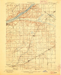
1901 Map of Des Plaines
USGS Topo · Published 1901About this map
The Desplaines River corridor serves as the industrial and logistical backbone of this Illinois region at the turn of the century. Three distinct waterways—the Illinois and Michigan Canal, the Chicago Sanitary and Ship Canal, and the Calumet Feeder—parallel the river's course, illustrating a landscape defined by massive civil engineering efforts. This map documents a critical transition in Chicago's hinterland as rural townships like Orland and Bremen begin to coalesce around established rail hubs and canal landings.
Find a feature on this map
59 named features on this map. Tap any name to fly to it.
Don’t see what you’re looking for? This feature index may not catch every label — zoom into the map to look around manually.
Map Details
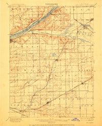
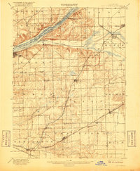
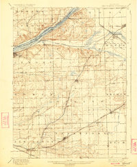
Editions of this 1901 Des Plaines Map
5 editions found
Other maps of this area

1889 · Chicago
USGS Topo · 1:62,500

1890 · Des Plaines
USGS Topo · 1:62,500

1891 · Chicago
USGS Topo · 1:62,500

1891 · Riverside
USGS Topo · 1:62,500

1892 · Joliet
USGS Topo · 1:62,500

1892 · Calumet
USGS Topo · 1:62,500

1892 · Wilmington
USGS Topo · 1:62,500

1893 · Calumet
USGS Topo · 1:62,500

1893 · Riverside
USGS Topo · 1:62,500

1894 · Des Plaines
USGS Topo · 1:62,500