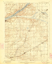
1901 Map of Des Plaines
USGS Topo · Published 1924About this map
Main Channel Sanitary Canal and the Illinois and Michigan Canal cut a dramatic path through the glacial valley of the Des Plaines River, illustrating the massive late 19th-century engineering projects that shaped Chicago’s industrial suburbs. This survey reveals the transition from prairie to an integrated rail-and-water transport hub, with the Atchison Topeka and Santa Fe Railroad and the Chicago Alton and St. Louis Railroad flanking the water corridors.
Find a feature on this map
59 named features on this map. Tap any name to fly to it.
Don’t see what you’re looking for? This feature index may not catch every label — zoom into the map to look around manually.
Map Details
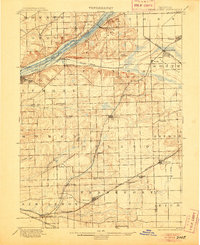
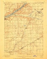
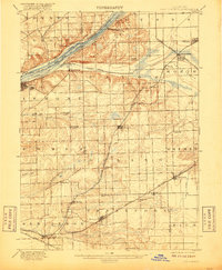
Editions of this 1901 Des Plaines Map
5 editions found

Other maps of this area

1889 · Chicago
USGS Topo · 1:62,500

1890 · Des Plaines
USGS Topo · 1:62,500

1891 · Chicago
USGS Topo · 1:62,500

1891 · Riverside
USGS Topo · 1:62,500

1892 · Joliet
USGS Topo · 1:62,500

1892 · Calumet
USGS Topo · 1:62,500

1892 · Wilmington
USGS Topo · 1:62,500

1893 · Calumet
USGS Topo · 1:62,500

1893 · Riverside
USGS Topo · 1:62,500

1894 · Des Plaines
USGS Topo · 1:62,500