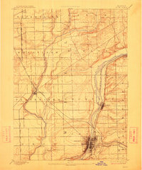
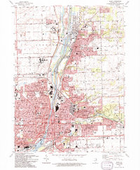
1892 Map of Joliet
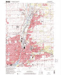
USGS Topo · Published 1912About this map
Joliet and the industrial corridor of the Illinois and Michigan Canal dominate this late nineteenth-century survey. The landscape is defined by the convergence of major transportation routes, including the Des Plaines River and a dense network of rail lines like the Elgin Joliet and Eastern Railway and the Chicago Rock Island and Pacific Railway. Beyond the urban core of Joliet, the map reveals the rural infrastructure of Plainfield and smaller settlements such as Romeo, Coynes, and Grinton.
Find a feature on this map
37 named features on this map. Tap any name to fly to it.
Don’t see what you’re looking for? This feature index may not catch every label — zoom into the map to look around manually.
Map Details
Editions of this 1892 Joliet Map
6 editions found

Historical Maps of Aurora Through Time
12 maps found
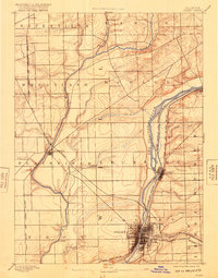
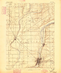
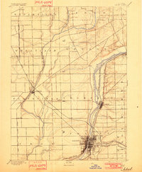
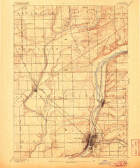
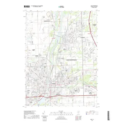
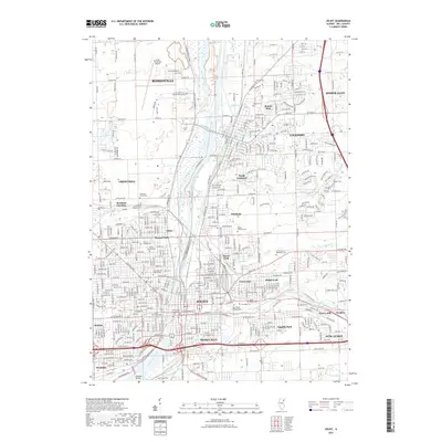
1892 Joliet
Will County, IL
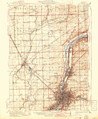
1923 Joliet
Will County, IL
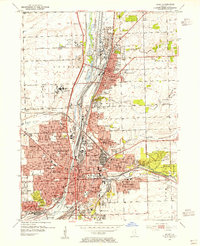
1954 Joliet
Will County, IL

1954 Joliet
Will County, IL
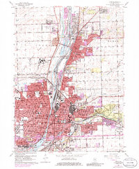
1962 Joliet
Will County, IL
1993 Joliet
Will County, IL
1998 Joliet
Will County, IL
2012 Joliet
Will County, IL
2015 Joliet
Will County, IL
2018 Joliet
Will County, IL
2021 Joliet
Will County, IL
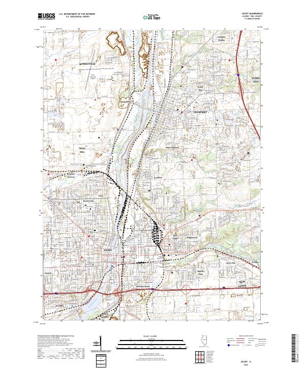
2024 Joliet
Will County, IL