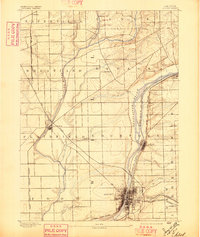
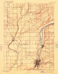
1892 Map of Joliet
USGS Topo · Published 1897About this map
The Joliet industrial corridor at the close of the nineteenth century is defined by its dense intersection of water transport and competing rail lines. The Illinois and Michigan Canal runs parallel to the Des Plaines River, carving a narrow valley through Lockport that served as the primary commercial artery before the full dominance of the railroads. This survey, conducted by D.C. Harrison, shows the city’s early urban footprint concentrated near the bend of the river where several rail systems converge, including the Chicago Rock Island and and the Pacific Michigan Central Railroad. Outside the urban center, the landscape transitions into established farmsteads and rural crossroads like Caton Farm and Frontenac. The drainage patterns of the Du Page River and smaller tributaries like Isle la Cache Creek reveal the natural topography that shaped the expansion of Plainfield and Romeo during this era of rapid growth.
Find a feature on this map
39 named features on this map. Tap any name to fly to it.
Don’t see what you’re looking for? This feature index may not catch every label — zoom into the map to look around manually.
Map Details
Editions of this 1892 Joliet Map
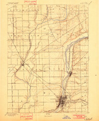
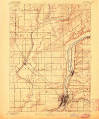
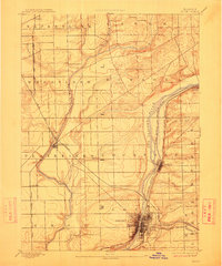
6 editions found
Other maps of this area

1890 · Des Plaines
USGS Topo · 1:62,500

1891 · Riverside
USGS Topo · 1:62,500

1892 · Morris
USGS Topo · 1:62,500

1892 · Joliet
USGS Topo · 1:62,500

1892 · Wilmington
USGS Topo · 1:62,500

1893 · Riverside
USGS Topo · 1:62,500

1894 · Des Plaines
USGS Topo · 1:62,500

1900 · Des Plaines
USGS Topo · 1:62,500

1900 · Riverside
USGS Topo · 1:62,500

1901 · Des Plaines
USGS Topo · 1:62,500