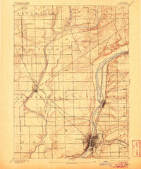
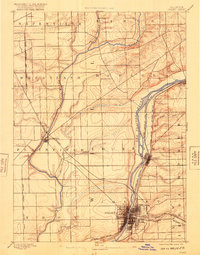
1892 Map of Joliet
USGS Topo · Published 1905About this map
Industrial expansion and maritime transit define this corridor in the 1890s, where the Illinois and Michigan Canal parallels the Des Plaines River. The city of Joliet appears as a dense urban grid, serving as a critical rail hub for the Chicago Rock Island and Pacific Railroad and the Michigan Central Railroad. To the north, the town of Lockport sits at a strategic point along the canal, while Plainfield anchors the western prairie near the Du Page River.
Find a feature on this map
37 named features on this map. Tap any name to fly to it.
Don’t see what you’re looking for? This feature index may not catch every label — zoom into the map to look around manually.
Map Details
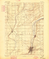
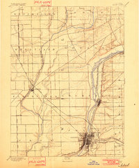
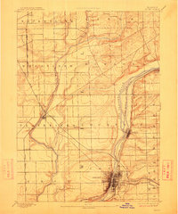
Editions of this 1892 Joliet Map
6 editions found
Other maps of this area

1890 · Des Plaines
USGS Topo · 1:62,500

1891 · Riverside
USGS Topo · 1:62,500

1892 · Morris
USGS Topo · 1:62,500

1892 · Joliet
USGS Topo · 1:62,500

1892 · Wilmington
USGS Topo · 1:62,500

1893 · Riverside
USGS Topo · 1:62,500

1894 · Des Plaines
USGS Topo · 1:62,500

1900 · Des Plaines
USGS Topo · 1:62,500

1900 · Riverside
USGS Topo · 1:62,500

1901 · Des Plaines
USGS Topo · 1:62,500